
BLACKHEAD MOUNTAIN BUSHWHACK: 5/4/15
On a warm summer-like day, Mike Dickerman and I made a scenic 6-mile bushwhack loop over 3940-ft. Blackhead Mountain in the northern Catskill Mountains. We ascended via the wild valley between Blackhead and Black Dome, and descended via Blackhead's south ridge, where we enjoyed a magnificent clifftop viewpoint.
The evening before our bushwhack, after the long drive down from New Hampshire, we went over to scenic Colgate Lake to scout out our route. From the fields by the lake we enjoyed a fine view of the Blackhead Range: left to right are Thomas Cole, Black Dome and Blackhead Mountains.

We followed a path partway around the shore of the lake.

Mike almost stepped on this big northern water snake along the shore. Yikes! They are not poisonous but are reputed to have a nasty disposition.

From the shore we had a good look at Blackhead and its south ridge.

The next morning we set out on the Colgate Lake Trail through more fields, with the Blackheads in view ahead.

We soon left the trail and angled across to the nameless brook that drains the large basin between Blackhead and Black Dome. The brook flows down through a sharp little ravine. We made our way up the valley along a shelf above the brook cloaked in wide-open hemlock forest that provided some welcome shade.

Every time we got a peek down to the brook we could see damage from Tropical Storm Irene.

At one point we went down for a closer look.

One of many magnificent old hemlocks.

An old logging road ran parallel to the brook in one section. According to Michael Kudish's classic The Catskill Forest: A History, log roads extended to an elevation of 3090 ft. on the south side of Blackhead.

More evidence of Irene's devastating flood waters.

I descended again to the spot where the two branches of the brook meet, at 2600 ft., in the heart of the Blackhead Range.

We took a break in a hemlock grove above the stream junction.

We soon entered hardwood forest as we followed the Blackhead branch of the stream.

We crossed and recrossed the rocky little brook.

Great hardwood whacking into the upper basin, with spring flowers sprouting on the forest floor.

Dr. Kudish observed that first-growth forest begins on the Blackhead Range at elevations between 2910 and 3150 ft. Above this line the woods have never been logged. These pictures of old growth hardwoods were taken at about 3200 ft.


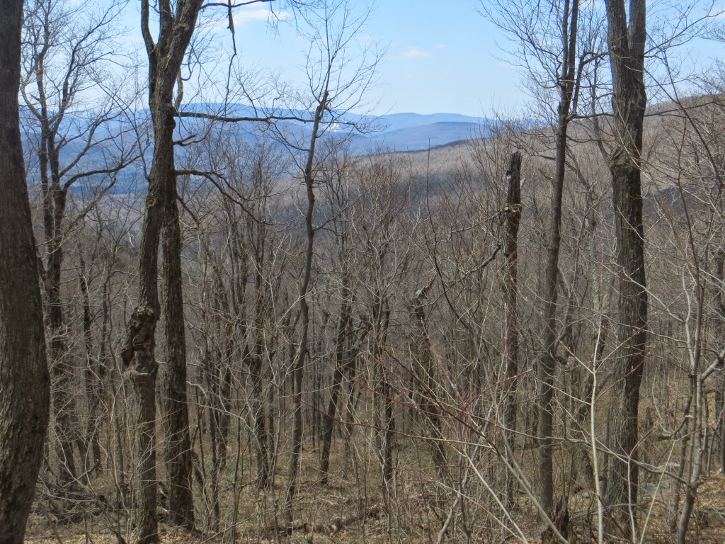
Higher up in the bowl there were glimpses back towards Hunter Mountain.
Mike admires a tree with an ent-like appendage. A good reason for a rest during the steep climb up the head of the bowl.

Higher up, the woods became entangled with brush.

A veiled look across at Black Dome Mountain.

Up around 3600 ft. a ledge gave us a view down into the valley we had ascended, with many peaks on the horizon.

The classic profile of the Devil's Path.

Mike weaves his way upward.

After a brief tussle with denser woods, we popped out on the Escarpment Trail a short way east of the 3940-ft. summit of Blackhead.

This ledge is a well-known landmark near the summit.


The summit ledge - no views here.

Back along the Escarpment Trail a ledge with a cut view offered a sweeping look over the Hudson River valley. On this side Blackhead drops steeply for 3000 ft. The most distant views were obscured by a midsummer-like haze.

Looking north along the Escarpment to Acra Point and Burnt Knob.

Peering south to the peak called Arizona and part of the Hudson beyond.

We left the trail near the outlook and navigated carefully down the south ridge, following a route I had done up and back to Blackhead on a spring day in 2007 when rain turned to wet snow and soaked me to the bone. Down the ridge a bit we crossed a high grassy meadow.


We soon came to a fabulous south-facing viewpoint. I had been here back in 2007 on that wet, raw bushwhack, and had no view on that miserable day. Today made up for that.

Stoppel Point beyond the remote East Kill valley.

Twin, Sugarloaf and Plateau beyond Lake Capra and Colgate Lake.

Looking SW towards Hunter Mountain. From here we could see more than 20 of the 35 3500-ft. Catskill peaks.

Mike takes it all in.

We kicked back for an hour in the sun.

After our siesta we negotiated a route around and down to the base of the cliff.

The ridge was quite brushy for a ways, with an occasional wild rock jutting out.

A look back at Black Dome and Lockwood Gap.

A veteran of many hard winters.

Farther down, the ridge offered some classic Catskill open hardwoods.

We worked through several of the little ledge bands typical of Catskill ridges.

It doesn't get much better than this.

Walking into the sun.

Around 3000 ft. I traversed across the top of a cliff band to a small viewpoint I'd found on my 2007 bushwhack.

A framed vista of Lake Capra.

From here we had to make our way down a couple of steep rock-strewn slopes.

We figured these stone piles were remnants from days when these lower slopes were pastureland.

Heading out through the fields at the end of a memorable day.


Steve! My sister in Law Martha lives on Big Hollow Road.
ReplyDeleteShe is one of the last homes before the trail head. I know this area well. Great Pics and commentsry as usual. Henry (Lionel)
Thanks, Henry! We hiked out of Big Hollow last spring, up to Burnt Knob. I really like the Blackheads area.
DeleteSteve