
Looking for a leisurely trek on the last in a string of gorgeous November days, I headed down to the quiet southwestern corner of the Sandwich Range Wilderness for some easy rambling on and off the trails. I started at the western trailhead for the Flat Mountain Pond Trail, reached by driving down the narrow end of Bennett Street.


The first part of the Flat Mountain Pond Trail is on the privately owned Swift River Tree Farm. Thank you, landowners!

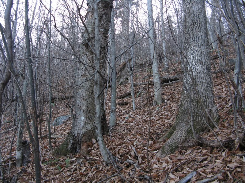
Past the Bennett Street Trail junction, the trail climbed through hardwoods glowing in the unusually warm November sun.

At 1.1 miles I reached the Guinea Pond Trail...

...and headed down it for a leafy ramble on the grade of the old Beebe River Logging Railroad, which ran 22 miles from lower Campton to the Flat Mountain Pond area and was in operation from 1917 to 1924 and intermittently after that.

I spent the next four hours exploring off-trail, north of the Guinea Pond Trail and south of Sandwich Dome. This area was mostly hardwood, with a variety of going - old logging roads, open glades, head-high hobblebush thickets, dense beech saplings, and some conifers both open and tightly packed. In one place I came across a logging camp from the Beebe River railroad operation.
 Lots of interesting stuff here. (Reminder to readers: It is illegal to remove historic artifacts from the National Forest; the fines are hefty.) This sled runner tip was sticking up from the forest duff.
More sled runners and other ironware.

Not sure what this piece was used for.

Someone had hung some horseshoes from a tree.

Part of an old stove?
 The remains of a logger's boot, from 80 or 90 years ago.
 An old barrel standing by itself.
Among the other treasures I found were several cascades on local brooks.


This one was in a small flume-type formation.

A neat confluence of two brooks, almost twins.

One of the more open sections of woods in the valley.
 Yet another cascade.
The biggest waterfall of the day, with fine ledges at the top.

A side view from the ledges.

I capped off the exploration with an ascent to a favorite ledge with a massive close-up view of Sandwich Dome, its SW and SE spurs spread wide like the wings of a giant eagle.
 Black Mountain, the SW shoulder of Sandwich, rises above a large beaver pond/meadow. The Algonquin Trail runs across its top; the upper Black Mountain Pond Trail ascends steeply at the left end.
 The SE shoulder; on the other side are the Gleason and Bennett Street Trails.
 There is a spacious ravine between Black and Sandwich Dome itself. One of the striking things about this view is that this whole wide southern front of Sandwich is devoid of trails, other than those on the main ridgecrest and at the far ends.
A closer look at the beaver pond/meadow.

A view from the shore of the beaver pond/meadow, taken on a spring visit a few years ago.

A distant view to the NE, looking along the front of the Sandwich Range.

Mt. Whiteface, showing its great south cliff, and the southern Flat Mountain.

Mt. Chocorua, with Mt. Paugus and Mt. Wonalancet (in front) on the L.
 A small plane approached from the SW.
 Spotting my blaze orange vest, it made two close passes. I waved, and I assume the pilot waved back.
A parting look - best to head back while the sun is still up.

The most challenging part of the trip was descending this steep hardwood slope, with treacherously slick leaf cover.
 Back on the Guinea Pond Trail in golden evening light, concluding a most enjoyable exploration.

Steve, you really had a great day of exploration! Those artifacts were quite a find. Also, that “twin brook” was very unusual, and wow, what a view of Sandwich Dome. Thanks for sharing!
ReplyDeleteJohn
1HappyHiker
Thanks, John - maybe a return trip will be in order!
ReplyDeleteSteve