
One more spring trip out to the wild and beautiful country on the west side of Mount Tripyramid. This one provided a great variety of features: a beaver pond, several cascades, two logging camps, a hidden cliff, two slides and endless ranks of open hardwoods. And a favorite spring wildflower, too.
From Depot Camp I could see that there was freshly fallen snow on the upper slopes of Tripyramid, especially on the North Slide, glimpsed through the trees on the left.

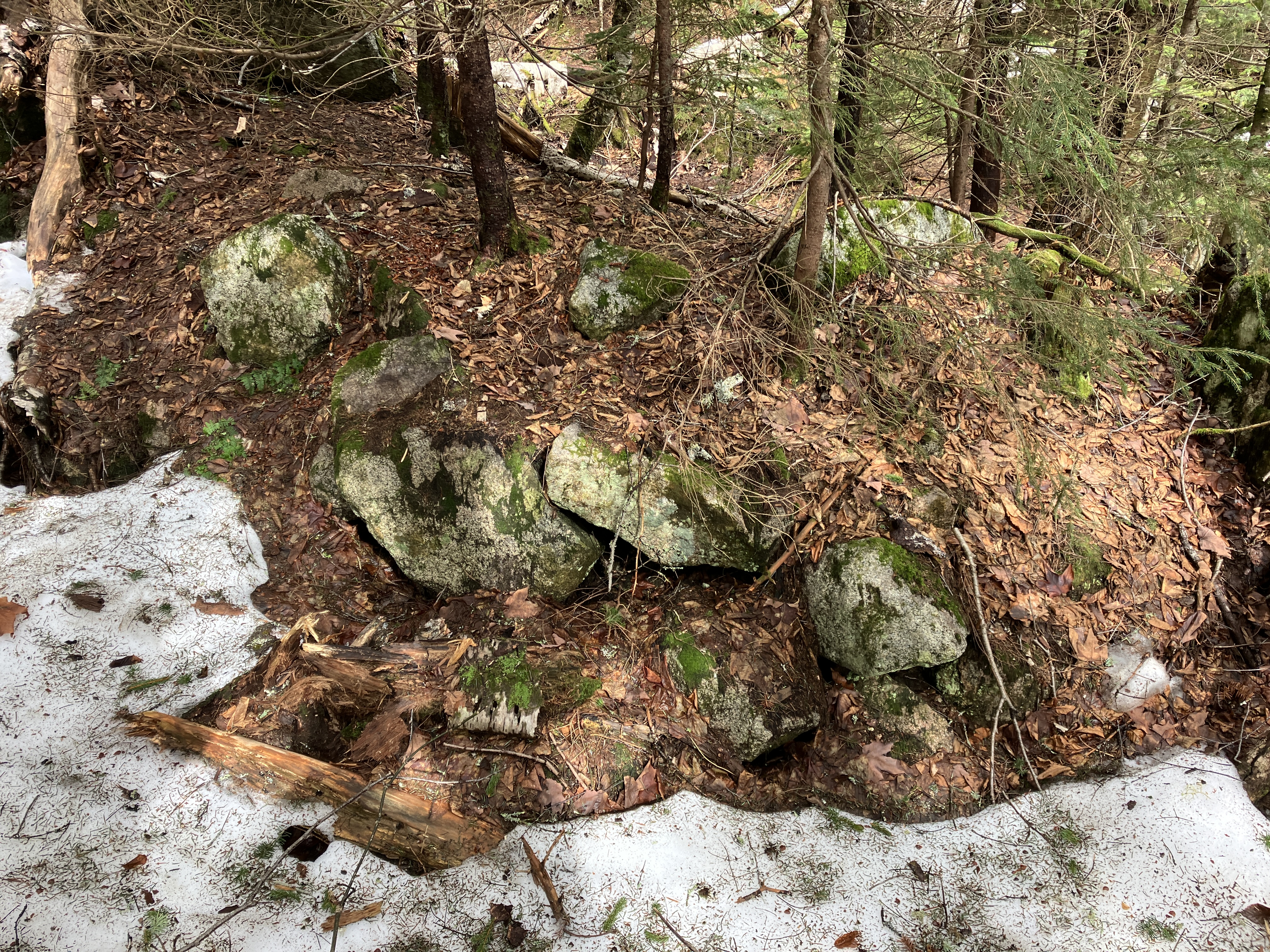
There were several artifacts visible at the site of the early 1900s Swazeytown logging camp, including this bed frame.

And this bucket, now serving as a planter. As always, note that these artifacts are protected by law and should not be removed.

This was the site of the Swazeytown Dam on Slide Brook, used to build up a head of water for log drives down the Mad River in the early 1900s. The site was named for Ebenezer Swazey, who homesteaded here from 1840 to 1849.

This old postcard shows the view of Tripyramid from Swazeytown during the log-driving era. At that time there was a pond behind the dam.

A century later the site of the pond is grown up to brush and trees, with just a glimpse of North Tripyramid in the distance.

Beavers have recently been active on a tributary stream.

Just upstream on the tributary is an older beaver pond, a serene spot. Here I stirred up a Belted Kingfisher and a Wood Duck.

Nice day for a stroll up the wide and winding Livermore Trail.

White Cascade was still surging five days after the big rain.

A few years ago Waterville tramper Daniel Newton spotted this old metal Forest Service sign being swallowed by its tree.

Slide Brook scenery.

I went off-trail to a known location for Dutchman's breeches, a relatively uncommon flower in the Whites. They prefer an enriched soil, such as is found at the base of this sugar maple.

A few of the many plants in this location were in bloom.

At another location, not far off-trail, I visited what may have been the site of the first Avalanche Camp in the early 1900s. (The location of the second Avalanche Camp is an obvious clearing a half-mile farther up Livermore Trail.)


From here I switched to Crocs for a crossing of Avalanche Brook at a pretty spot.

On the far side I was greeted by this giant maple, and then more Dutchman's breeches.

Old gnarled trees populate this spacious bottomland.

This old logging road may have been part of an older route to North Tripyramid, when the trail was a true loop starting beyond where the south end of the trail crosses Avalanche Brook.

I cut across to the south link of the Mount Tripyramid Trail and headed up along Slide Brook.

I headed off trail again before the crossing of Cold Brook. I thought this image could be titled "Coexistence."

A long, sliding cascade on Cold Brook.

The old logging road Ray Caron and I had traversed a week earlier.

Cold Brook is a lovely stream, even if it was snubbed on the current USGS Mount Tripyramid quadrangle and some of the trail maps derived from it.


There were a few lingering patches of snow that had fallen over the previous couple of days. A far cry from the two feet that Mount Washington received.

Emerging on the 1869 slide and the Mount Tripyramid Trail.


No comments:
Post a Comment