
There's no place I'd rather be on a fine April day than a bare ground, open hardwood forest where the sun pours in and there are long views through the trees. The lower western slopes of Mount Tripyramid feature one of the most expansive hardwood forests in the Whites, and a ramble in that neighborhood is pretty much an annual spring tradition for this tramper. A bonus is that this route can be tied in with a visit to Tripyramid's South Slide for some long-distance views.
For this trek I teamed up with fellow bushwhacking enthusiast Ray "Jazzbo" Caron. We hadn't hiked together in a while and we caught up along the 2.6 mile approach on the Livermore Trail.

We stopped for a look at White Cascade on Slide Brook, which was really rocking.

This piping near the trail is presumably one of the few remnants of the first location of Avalanche Camp, used by loggers in the early 1900s. (The second Avalanche Camp, occupied in the 1930s and 1940s, is now a brushy clearing a half-mile farther up Livermore Trail.)

Before heading up the south link of the Mount Tripyramid Trail, we bushwhacked up through some gorgeous hardwoods to visit Waterville sage Daniel Newton and his friend Lelia Mellen at their campsite somewhere off the Livermore Trail.

Lelia, Daniel and Ray study a map of old logging roads in the area that Ray created using the NH Granit website. Lelia and Daniel planned to spend the afternoon exploring some old roads up towards the Scaur Ridge.

Ray waits for me to make the crossing of Avalanche Brook at the start of the Mount Tripyramid Trail. It was running a bit high and I used Crocs going in, but stayed in boots on the return trip.

Welcome to the Wilderness.

Tumbling cascade on Slide Brook.

A good-sized sugar maple beside the trail, with an old yellow birch beyond.

Ray heads up one of several old logging roads that we followed to the north of the trail. My guess is that these roads date back to the 1920s through perhaps the 1940s. Some of the roads farther north along the flank of Tripyramid saw use into the 1950s.

A junction where two old logging roads converge. These old roads show up clearly on the NH Granit lidar hillshade layer.

A woodchip pile below a big gouge carved out by a Pileated Woodpecker.

We followed an old road along the north side of Cold Brook, dropping down for a look at this mossy cascade.

Ray tries out a birchbark skirt.

Clear sailing on the old logging road.

Creature tree.

Drainpipe tree.

Magnificent open hardwood forest out here.

An artifact - not sure what - from earlier logging days.

We crossed Cold Brook and headed SE across the broad slope, at first on the ghost of another old logging road.

Spring whacking perfection, through acres and acres of open hardwoods. Most of our mile and a half off trail was through this kind of forest.

We briefly followed another road higher up on the slope, at the edge of the spruce forest.

We rejoined the Mount Tripyramid Trail at ~2900 ft., where it passes through a beautiful high-elevation hardwood glade.

Looking to the right of the trail. A great area for snowshoeing!

Speaking of snow, as expected we encountered some in the flat area below the base of the South Slide.

Time for some postholing, but thankfully not for very far.

There was more snow and a bit of ice to negotiate on the steep climb through the conifers to access the lower open part of the slide, but it was worth the trouble as we settled in for a long break in the sun. Ray points out the distant peak of Killington on the western horizon.

The long view west and SW, between Sandwich Dome and Jennings Peak on the left, and the south end of Mount Tecumseh on the right. In addition to Killington, we could see Okemo Ski Area, Mt. Ascutney, and far-off Dorset Peak. Closer in, Stinson Mountain is seen to the left of Welch and Dickey.

Mount Tecumseh, with Stinson and Carr Mountains on the left and Mount Moosilauke peeking out on the right.

Looking SW to Sandwich Dome and the northern Flat Mountain.

A nice angle on Lost Pass, the wild gap between a spur of East Sleeper and the northern Flat Mountain. Mount Israel is seen through the Pass.

After an hour's sojourn, we carefully descended the loose gravel of the slide.

This part of the descent was tedious, but not long.

A two-foot snowpack just below the slide.

The trail was snow-free down to 2700 ft.

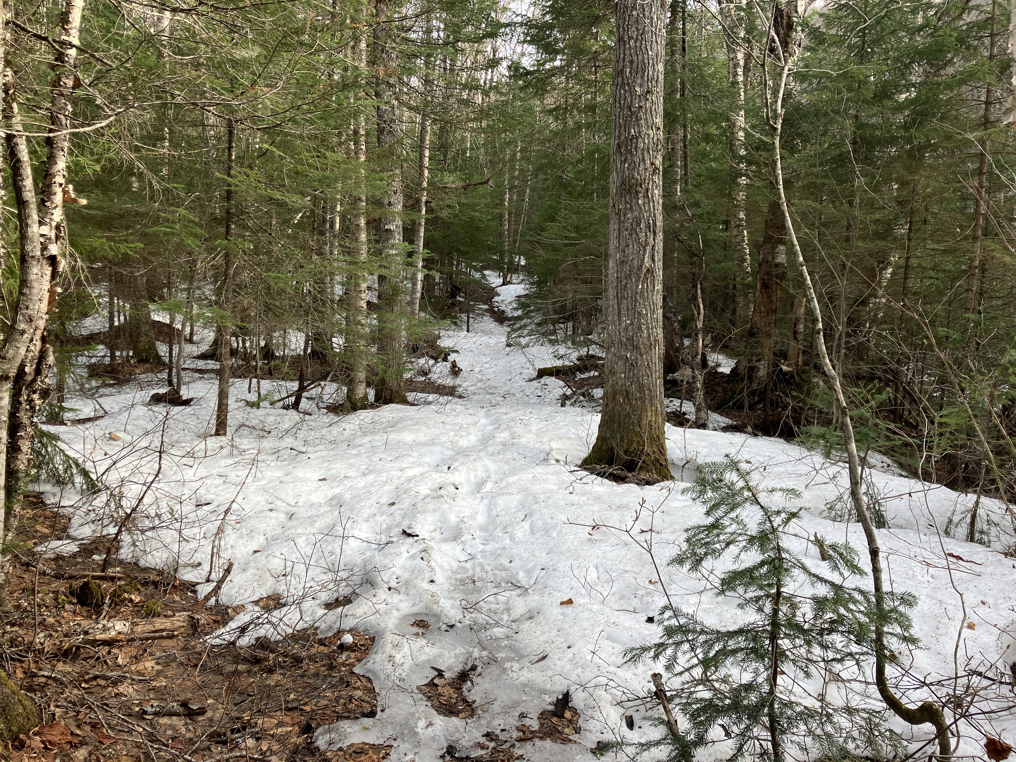
Then it entered a corridor of small conifers where snow lingers in spring.

We made a partial bypass of the snowy section by bushwhacking off to the right, passing this colony of coltsfoot along the way. Wonder how this invasive ended up way out here.

This section of hardwoods was plagued with head-high hobblebush, making for slower progress.

Ray displays an old moose antler. We left it in its resting place.

Back to the trail, where there was a foot of snowpack in places at just 2400 ft. Around the corner, where it's exposed to the sun, the trail was snow-free again.
Black Cascade, named for its dark gabbro bedrock.

Parting shot, with Tripyramid seen through the trees, as we leave the Wilderness after an excellent spring afternoon in the hardwoods.


No comments:
Post a Comment