
It was good to be back in the woods after a 2 1/2 week hiatus (an extended holiday family visit followed by a busy vacation week, then dreary weather and a New Year's cold). I had read in a NETC trail report about blowdowns on the Kettles Path in Waterville Valley, one of my adopted trails, brought down by the pre-Christmas windstorm. I figured I would check that out, visit The Scaur, and continue east along the ridge on Irene's Path and off-trail, possibly finding some decent snowshoeing. Surprisingly, in this bony early winter, I wore snowshoes car-to-car, starting with them on Livermore Trail to preserve the groomed X-C skiing trail, and staying with them through areas of both decent and thin cover on Kettles Path and Irene's Path. Along the ridge beyond Irene's Path I was rewarded with superb off-trail 'shoeing.
Overall, ski conditions looked pretty decent on Livermore Trail, for the mile that I followed it.


The first 0.1+ mile of Kettles Path was a disaster thanks to all the rain and thaw of early winter. It's like this in the spring, too. I think a relocation will be in order for this section.

This big downed tree at the start of the climbing on Kettles Path was beyond the capacity of just me and my Silky saw. Pro crew material. I did remove the projecting limb to make it an easier stepover.

Another December blowdown farther up.

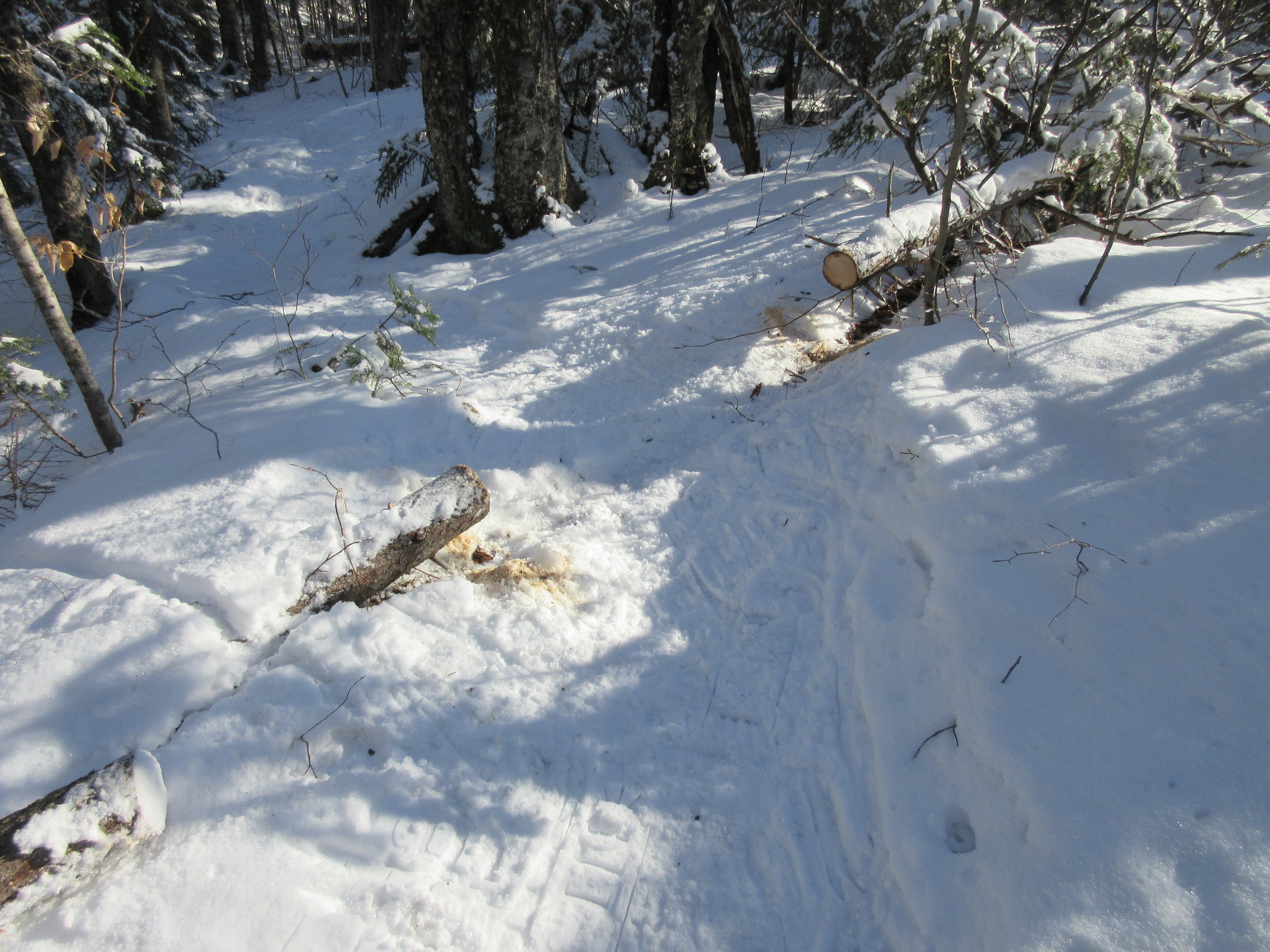
Cleared.

Stepover by the first Kettle.

Done.
Looking fairly wintry among the conifers.

Every time we have a major windstorm, I wonder if Waterville's champion white ash made it through. Yup, it still stands, battered but tall and proud.

Another pro crew job, this one a massive beech. I cleaned up the mess around it to make it more passable.

After a steep, bony scramble that beat up my snowshoes (I really should have taken them off), I reached the wonderful ledges of The Scaur, with Mt. Tecumseh off to the west.

Sandwich Dome and Jennings Peak to the south. A gorgeous afternoon!

Middle and South Tripyramid to the east. The Scaur is actually the farthest westward extension of the Tripyramid massif.

I dropped back off the ledgy knob and continued east on Irene's Path, soon passing the "Rock of Gibraltar."

This trail had a number of bony ledgy stretches, but for much of the way there was decent snow cover, though it was badly chopped up by boots.

My reward for the tedious trail conditions was a late-afternoon extension of the hike, off-trail along the ridge through open hardwoods. The snowshoeing here was superb, with a couple inches of powder atop a firm crunchy base.

Almost a foot of snow in places in the open woods along this gentle crest, at an elevation of 2500 ft.

I continued along the ridge to one of my favorite sugar maple glades, illuminated by the low January sun.

Sky view.

Following my tracks back through the maples. There is hope for this winter!

Shadows getting long.

Looking up at some towering black cherries as I descended off-trail around the base of The Scaur.

Last flash from the sun before it drops behind Mt. Tecumseh.


No comments:
Post a Comment