
I'm not a fan of hiking on icy trails, especially when mixed with rock. Traction on, traction off. No thanks. There's no ice in the woods, so on this sunny, windy day I reprised a favorite bushwhack from the scenic trailhead known as Breezy Point up to the lower south ridge of Mt. Moosilauke, taking in a beaver pond, the summit and west ridge of Bald Hill, and the south slope of Chokecherry Hill. This loop offers only a couple of limited views, but traverses two of the finest open sugar maple stands in the region.
The 2017 Halloween storm wiped out the upper section of Breezy Point Road, so unless you drive a gigantic 4 X 4, you should park 0.4 mile below the Breezy Point trailhead and walk the road to where the Moosilauke Carriage Road begins.

Breezy Point is one of the most scenic trailheads in the White Mountains. The open fields of Breezy Point were once home to resort hotels known as Merrill's Mountain Home (1860-1915), the Breezy Point House (1877-1884) and the Moosilauke Inn (1885-1953). From the 1950s-1980s, a smaller motel-like complex was located here. There was also a nine-hole golf course.This tract was added to the WMNF in 1991, and the fields are kept open by the Forest Service.

Looking north, a zoomed view of Mt. Moosilauke's South Peak.

Carr Mountain rises to the south.

To get to the beaver pond at the head of Merrill Brook, from where I would launch the bushwhack, I followed a familiar route up old logging roads and then an obscure and overgrown angler's path, which I lost at times in a sea of hobblebush.

The edge of the frozen beaver pond offered a nice view of Chokecherry Hill (2968 ft.) to the north.

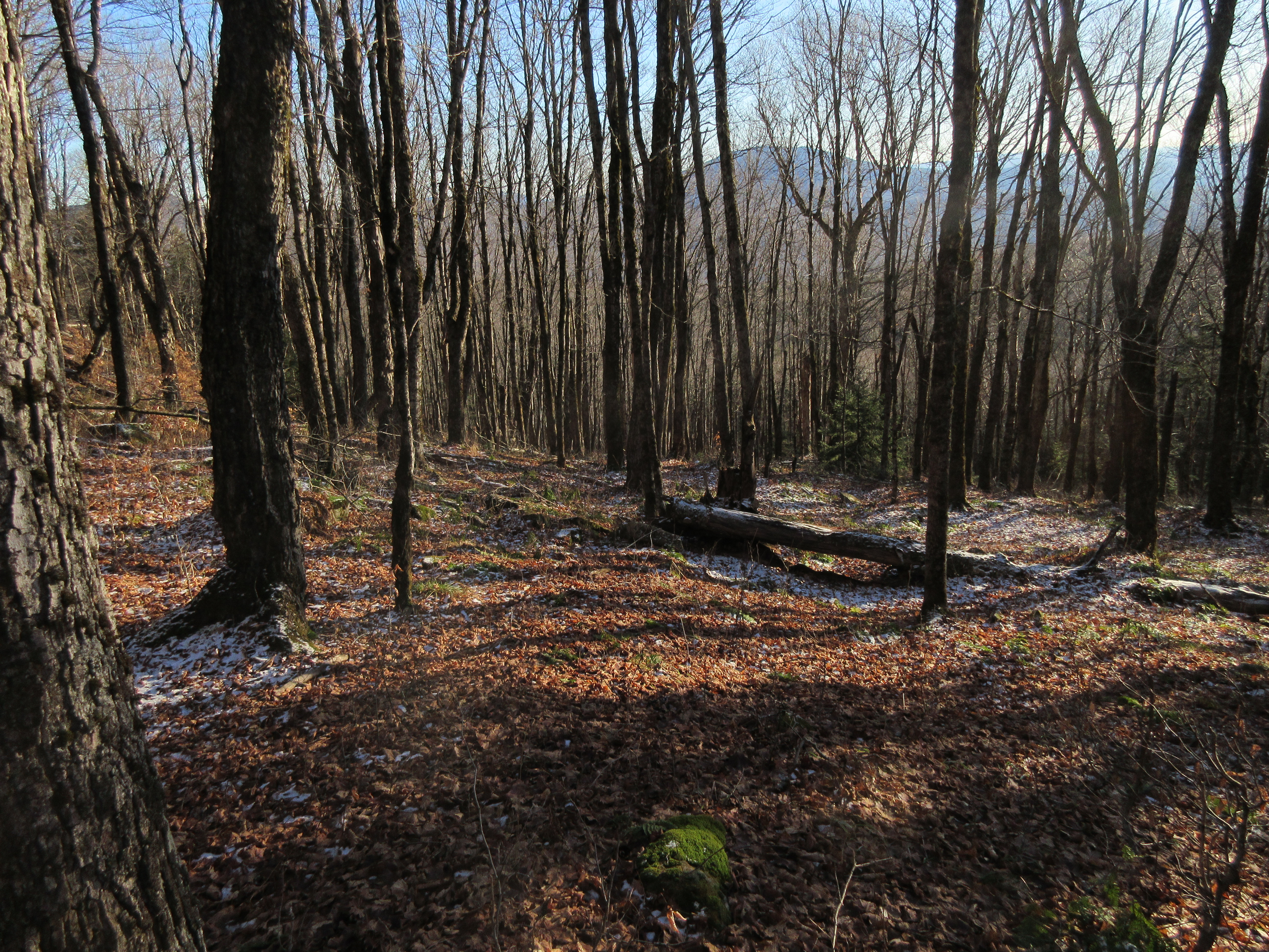
From here I bushwhacked southwestward to Bald Hill, mostly through hardwoods with an ample supply of beech saplings.

Plenty of moose sign in this area.

This tiny nub appeared to be the high point on the broad summit plateau of Bald Hill (2392 ft.).

This natural meadow is a favorite spot, though with the low sun angle of December it was in a chilly shadow.

A window view of the Signal Mountain Range in central Vermont.

A trident tree.

This sunny, mossy ledge is a vestige of Bald Hill's former baldness.

From here I descended along Bald Hill's scenic west ridge.

A sun-drenched hardwood heaven prevailed along this broad shoulder.

This is an enriched forest where such uncommon flowers as Dutchman's Breeches and Blue Cohosh bloom in spring.

From the end of the shoulder I descended through spruces to a secluded ledge with a view of Mt. Cube and the distant Killington Range.

Zoom on the Killington Range (L to R): Shrewsbury Peak, Killington Peak and Pico Peak.

Heading back up the ridge, I spotted this alignment of "elbow trees."

Sweet whacking.

A mossy ledge along the climb back to the top of Bald Hill.

From Bald Hill I traversed northeast across a broad basin with some mildly scrappy woods in places. Along the way I saw this moose track embedded in frozen moss.

I crossed the headwater of Merrill Brook, then ascended the south slope of Chokecherry Hill.

Partway up the slope I broke out into the magical maple glades I had visited several times before.

Blue sky, bare ground and ranks of sugar maples made for a happy camper.

Some old yellow birches guard the top of the glade, around 2700 ft. I'd been to Chokecherry's blowdown-strewn summit twice, no need or time for that today.

Creature tree.

Descending through the glade with Carr Mountain in the distance.
Twisters.

The remains of an old ramshackle shelter seen while skirting the blowdown-infested shore of the beaver pond.

Crossing an inlet stream on a beaver dam.

Last sun on Chokecherry Hill.

Near-dusk view of Mt. Kineo from Breezy Point.

Mt. Moosilauke's South Peak and East Peak.

Post-sunset glow behind Carr Mountain.


No comments:
Post a Comment