
October, when the valleys shine in golden glory, is a great time to explore in the Pemigewasset Wilderness. On this sunny day my trek took me deep into the East Branch valley, around to the north side of Mount Hancock, where a bushwhack led me into a wild ravine and up to two slides with fine Pemi views.
Frost on the pumpkin at a field along the lower East Side Trail.

I made a short side loop along part of the abandoned Pine Island Trail, which yielded this colorful view of "Peak 2675."

The summit of Owl's Head peers out behind its sharp south spur.

The colors were popping in the October sun.

A view north to West Bond from a bank high above the East Branch.

The ridges of Whaleback Mountain and Mount Flume from a viewpoint along the East Side Trail.

The rippled golden flank of "East Whaleback."

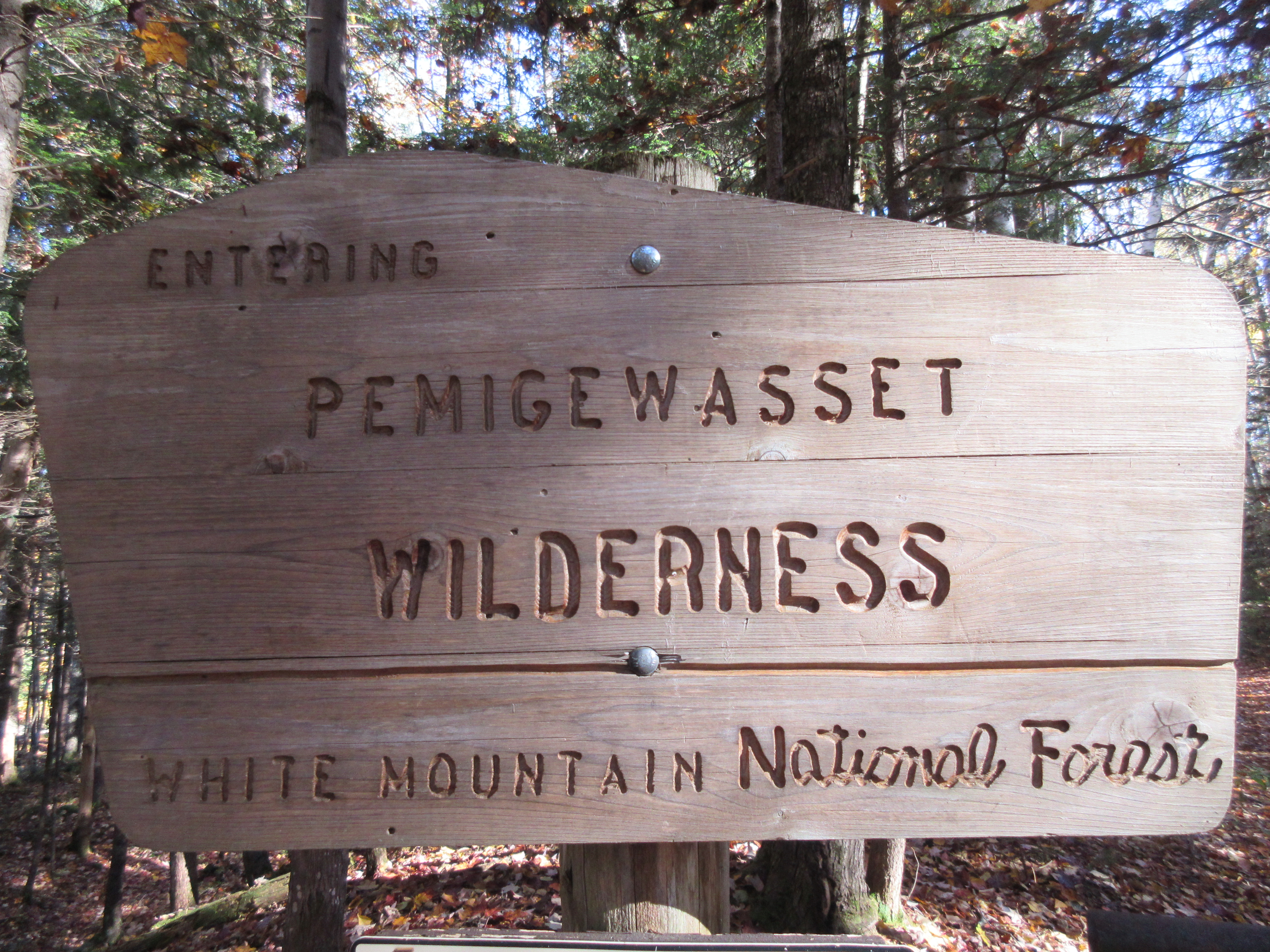
Into the largest Wilderness in the Whites.
Mount Flume and the bowl of Birch Island Brook.

Looking upstream to a spur of the Bond Range.

The Ranger's Pool.

Golden water.

Bondcliff and its peaked south spur.

Strolling on a leafy carpet along the East Side Trail.

Three-way junction.

The lower part of the brookbed/track from the slides in the NW ravine of Mount Hancock.

Bushwhacking up into the ravine through prickly spruces.

I found and followed the bed of an old logging road from the Parker-Young Co. days of nearly a century ago. Typical of these old roads, it was quite obstructed by blowdown in places.

I emerged near the top of an open gravel slide that marks the lower end of a much larger slide that is very prominent in a 1939 aerial photo. It may have fallen during the November 1927 storm, or during another storm in the 1930s.

From the edge of the steep gravel slope was a view up into the ravine, topped by a spur peak of Northwest Hancock. This sprawling, trailless north side of Hancock has a wild, almost primeval feel to it.

From the other side of the gravel slide I enjoyed a fine view of the Franconia Range rising above the lower Lincoln Brook valley. Low clouds had denied me this vista when I first visited this spot 24 years earlier.

Zoomed view.

Flume and Liberty.

I climbed steeply up the partly overgrown track of this nearly century-old slide.

More views, bringing Whaleback Mountain into the picture.

In places, I took to the woods beside the slide track.

Several hundred feet in elevation above the gravel patch, I reached the largest remaining open ledge swath of the old slide.

Steep enough.

More views here, with North Hitchcock popping into the picture, and Mount Moosilauke on the horizon. I found a rock seat suitable for lounging in the sun, and stayed a while.

From here I made a quarter-mile southward traverse across the side of the ravine to the "Stinger Slide," presumably so named due to its long, narrow track that tapers to a point like a bee stinger. At first I followed another old contouring logging road.

But the road was so obstructed that I abandoned it in favor of the steep woods.

I emerged on the bouldery lower track of the Stinger Slide.

I clambered up the rocks to the lower of two open ledgy swaths on the slide. This slide is unusual in that it fell in the 1920s or 1930s, appearing prominently in a 1939 aerial photo, was mostly revegetated by the 1990s, then was scoured anew by Tropical Storm Irene in 2011.

I carefully scrambled up to the slabs, which are considerably steeper than they appear in this photo.

A peek at Bondcliff and its south spur from the south edge of the slide.

Though dry, these ledges were not grippy, so I made my way up along the edge.

Definitely steeper than they looked from below. Slides can be deceptive in that way.

Wet slabs above, no going up those.

Side view of the wet slabs.

I found a dry ledge seat and took in the beautiful mid-afternoon view out to the Franconia Range with Owl's Head lurking beneath.

For the return trip, I descended steeply through the woods alongside the slide. From an open bank I had a look at the gouging caused when the Stinger Slide was unleashed anew in 2011.

Parting view from the gravel slide where I began the two-slide loop. Time to get back down to the trail for the long walk out.

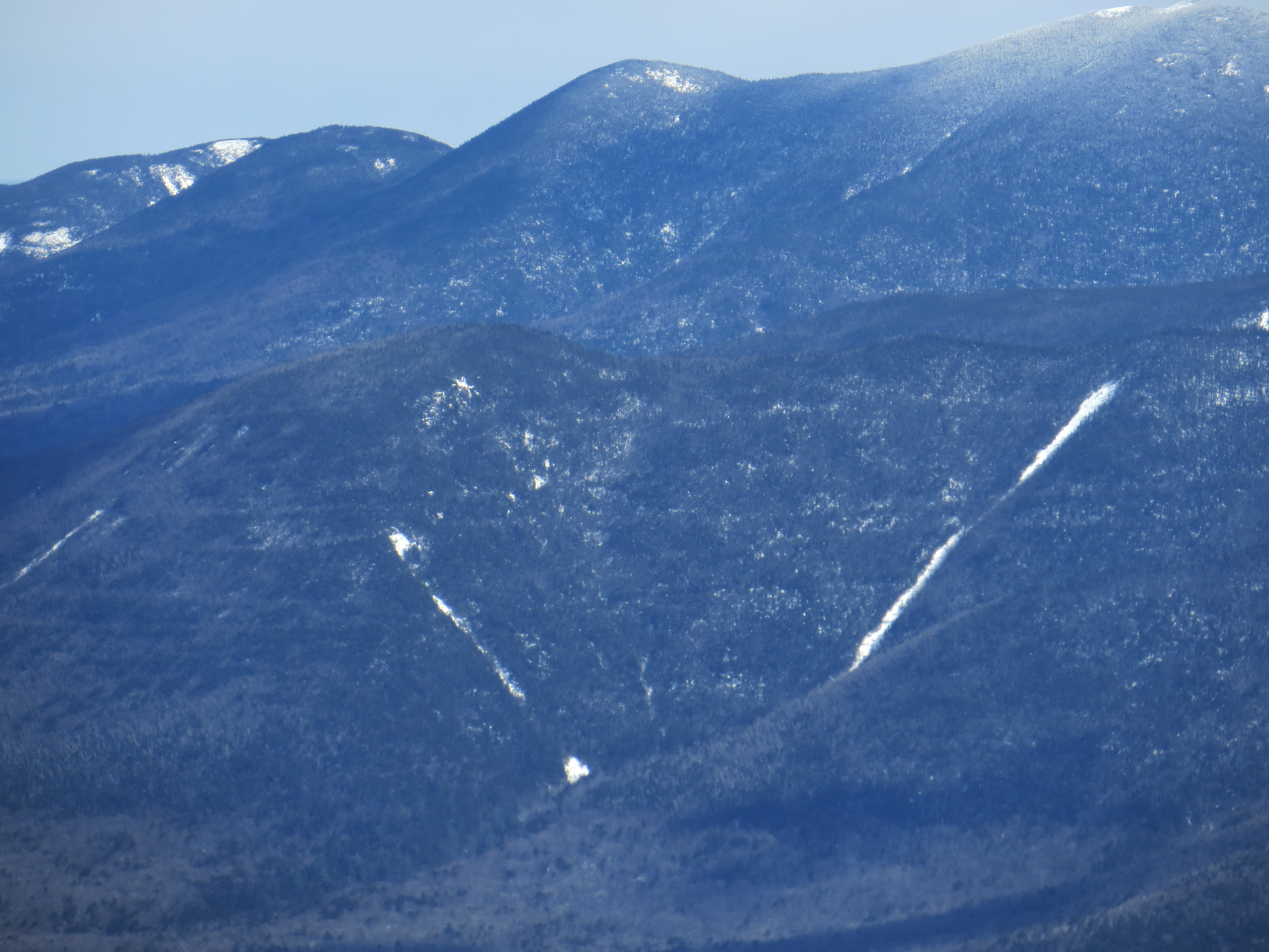
The slides in Hancock's NW ravine, seen from Mt. Liberty, with the Stinger Slide on the right.

I'm still struck by how visible the logging roads on the Hancocks are from a far, even after all these years. Did Parker-Young employ any unique techniques compared to Henry?
ReplyDeleteI think their techniques were mainly similar. One major difference is that in the 1940s a truck road was built to provide additional access to the north side of Hitchcock and Hancock; this is now the East Side Trail. It is indeed amazing how prominent the old contouring roads are today.
ReplyDelete