
On a hot & hazy day I teamed up with Dan Newton and his companion, Friday, to explore two old slide tracks on the steep east flank of Mt. Carrigain's Signal Ridge. We probed a little way up a terraced, wet, ledgy strip known as Cobb's Stairs, the route of several early ascents of Mt. Carrigain and the original location of the AMC trail up the mountain. Then we dropped back down and continued up the more open, rubbly slide track just to the north, where there are views across Carrigain Notch to the scarred face of Mt. Lowell.
Our three-mile approach was on the Signal Ridge Trail and Carrigain Notch Trail. Not far from the trailhead we paused to admire this cascade below on Whiteface Brook.

Beaver meadow on a tributary of Carrigain Brook, with a lower spur of Signal Ridge beyond.

The first mile of Carrigain Notch Trail is an easy-graded walk through nice hardwood forest in a broad valley. It's one of my favorite trail stretches, and I was pleased to introduce Dan to this fine territory.

The trail crosses several dry, stony brookbeds - a unique feature of this trail.

Leaving the trail, we at first bushwhacked through open hardwoods parallel to the stony drainage that would lead us to the slides.

After a while we took to the dry brookbed itself.

Farther up, the drainage suddenly became a flowing brook, where Friday could get a drink.

That way!

Friday beats the heat.

We bushwhacked up across a steep slope and emerged on Cobb's Stairs, between the first and second sets of many ledge steps on this slide track/brookbed, which is also the south branch of Carrigain Brook. In 1869, during field work for the New Hampshire Geological Survey, a party of three - George Vose (for whom Vose Spur was named), artist George Morse, and local guide John C. Cobb - ascended the steep east flank of Signal Ridge via this narrow slide. “The west fork of the brook leaps down for a great height over broad steps of granite,” wrote Vose in a report for the survey, “and this gigantic flight of stairs affords for a considerable distance the best means of ascent. The bed of this brook we named for our guide, who was the first to ascend, Cobb’s Stairs.” From the stairs they continued up through steep, dense woods to the crest of Signal Ridge. The true summit of Carrigain was obscured by clouds, and, believing they were now on the summit, the trio ascended no farther. In 1873 the White Mountain Club of Portland, ME - the first hiking club to frequent the White Mountains - was organized during an ascent of Mt. Carrigain by the Cobb’s Stairs route.

We settled onto a dry sunny ledge for a prolonged lunch break.


Looking up to the next set of steps.

A peek back at Mt. Lowell.

The stepped ledges seen here on the right were dry and provided a fun little scramble.

The next ledge step we bypassed through the woods.

Picturesque scenery abounds on this route. We turned back here after Dan reported a flume-like formation ahead which would be tricky to ascend and especially to descend.

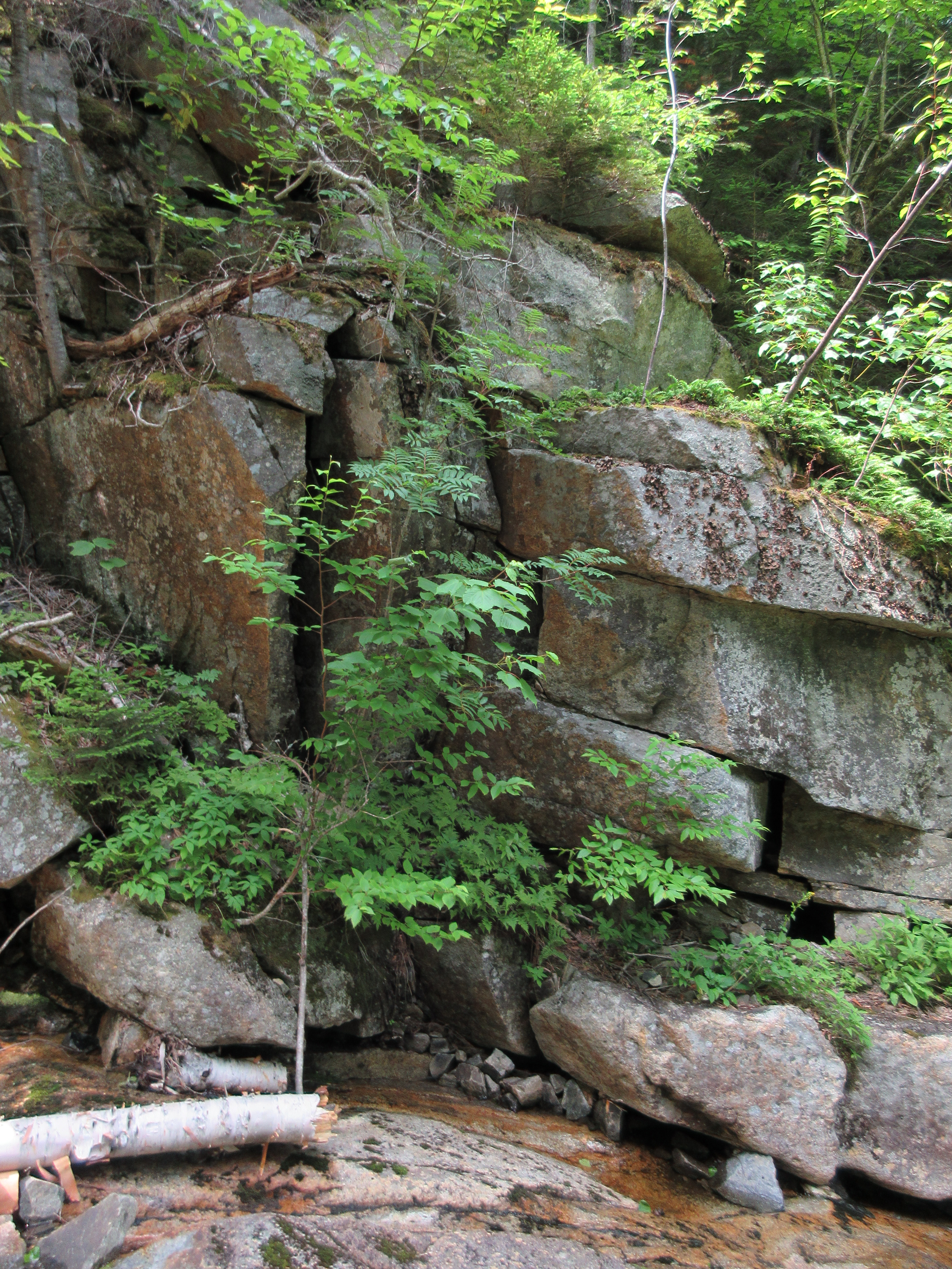
A fractured rock wall.
We returned to our packs, then dropped down a steep bank to the base of Cobb's Stairs, where we looked up at the lowest set of ledge steps.

From here we continued up the main track on the north branch of Carrigain Brook, passing this bouldery cascade.

The track soon went dry again and became what Dan called "a sea of stone."

Friday was feeling the heat, so Dan found a nice shady spot, lit up a tinder polypore (a slow-burning fungus) smudge to keep the bugs at bay, and hung out for a couple hours while I continued slowly up the rubbly slide. I worked my way through this messy section, with Signal Ridge and Mt. Carrigain looming ahead.

I ascended to a bend in the slide with an initial view of Mt. Lowell.

A washout along the bank.

The next section had some larger rocks, which provided more stable footing than the small loose rocks.

After climbing more steeply up a tricky section with small, loose unstable rocks, I eventually reached a fork at ~2950 ft. where the main slide track swings up to the left and a narrower track continues ahead

In 2009, a climber named Craig posted a detailed report of an exploration of these slides on the Views from the Top website. He noted that at the start of the right fork there was a 30-ft. cliff that was too dicey to climb. I went in a few yards to have a look at this remarkable feature. In 1875 an ascent of Carrigain was made via the north branch of Carrigain Brook by a group led by an AMC member named Fox, prompting one historian to informally label this route as “Fox’s Stairs." It's unclear which fork of the branch that party used, but the right fork certainly starts out more stair-like than the left.

I climbed a short way up the left fork, but due to the treacherous loose footing, I decided not to continue another 200 ft. up to the head of the slide.

I found a stable rock for a seat and hung out for a while to savor the intimate view of Mt. Lowell and its brightly-tinted slides.

A wild and remote feeling out here!

Down-look. It's difficult to determine how old this slide is; aerial photos suggest it may have been "refreshed" at some point, perhaps in the 1970s.

Descending, slowly and carefully.

I rejoined Dan and Friday at their shady hideaway and we picked our way back down the drainage and through the woods to the Carrigain Notch Trail and the mellow three-mile walk back to the car.


Looks like a fine day in the forest was had! Cobb's is so beautiful, it becomes even more wild, more savage the higher you go (The best trail report ever might be on page 187 of Forest and Crag, whom is told by an 'anonymous chronicler" of Mt. Carrigain). We had the benefit of over a week of dry conditions. I am glad I could be the 'bad influence' for once for off trail adventures. :) Good climbing!
ReplyDelete