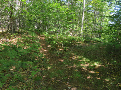
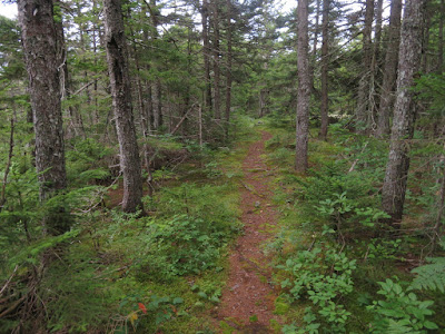
On a fine summer day Carol and I made the long drive over to western Maine where she spent a fun day geocaching and provided shuttle service for me to do a scenic traverse over Speckled Mountain via the Evergreen Link, Cold Brook, Red Rock and Great Brook Trails.
Driving to the Evergreen Link Trail, we confirmed that a former snowmobile parking lot that was open to hikers a few years ago is now closed off and no longer available. Best parking for this trailhead is now in the lot for the Evergreen Valley Inn on Mountain Rd., 0.1 mile below the start of the trail. Hikers should ask for permission at the inn office if parking here.
This gravel road is the start of the Evergreen Link Trail route. There are no trail signs here; only signs for "133 Mountain Rd." and "No Motorized Vehicles."
The road climbs steadily for a while, then eases off and bears left at a fork.
The route then turns right onto another woods road at this sign.
Easy walking on a flat shoulder.
At this sign the trail bears left off the road....
and becomes a footpath....
...and meets the Cold Brook Trail at 1.4 miles from the Inn parking lot. This approach is much shorter and appealing than the lower 2.7 miles of Cold Brook Trail, which has no adequate parking at its start on Adams Rd. (where there was active logging going on), and is overgrown and hard to follow amidst a confusing network of logging roads on private land.
The Cold Brook Trail ascends moderately through hardwoods...
...and then more steeply up the flank of Speckled Mountain's SE ridge, entering the Caribou-Speckled Mountain Wilderness.
It emerges on open ledges at the crest of the ridge by these red pines.
Great ledgy walking.
Scrubby interludes between the slabs.
Looking back toward the Baldface Range.
The trail is well-marked with cairns.
Classic midsummer day.
A small ridgetop pond.
Heading to the upper ledges at 2550 ft., the best viewpoint on the trail.
Expansive views to the south.
Westward to the Baldfaces, Carter Range and Mt. Washington.
Eastman, Chandler, Sable, South Baldface and North Baldface.
Kezar Lake with Pleasant Mountain in the distance.
Into the spruces for the final climb to Speckled's summit.
View NE from a ledge a short distance off the trail, near the summit of Speckled.
Caribou Mountain with cliff-faced Haystack Mountain beneath.
The great south cliff of Red Rock Mountain is one of the outstanding features of the Caribou-Speckled Mountain Wilderness.
Three-way trail junction just east of the summit.
Benchmark at Speckled summit.
From the 2906-ft. summit of Speckled, looking west to the Royces and Carter-Moriah Range. Its summit is the highest point in the 12,000 acre Caribou-Speckled Mountain Wilderness. This is one of several mountains in Maine that go by the name of Speckled. There are two possible origins for this descriptive moniker. One is that the mountain is spotted with numerous ledgy patches, the other is that the vegetation on the mountainsides is a mixture of evergreens and hardwoods, creating a mottled appearance, especially during fall foliage.
Eastern view along the Red Rock Ridge.
Footings remain from the former fire tower on Speckled, which was originally built as a wooden tower in 1918. This was later replaced by a steel tower. It was last operated in 1959, and in 1987 the tower was removed and airlifted to Streaked Mountain in Buckfield, ME.
From Speckled I headed east on the Red Rock Trail, a delightful, little-used path threading its way along this remote ridge through a variety of wild forests.
Hikers can expect to encounter blowdowns on this trail...
...as well as obscure overgrown sections. Recommended for experienced hikers only.
This 2.2 mile ridge walk was a highlight of the Speckled traverse.
An obscure spot.
The broad, flat summit of 2404-ft. Durgin Mountain is ledgy, but there are no views from the trail.
A soft path through the spruces.
Hobblebush and friends claiming the trail corridor.
Trail sign slowly being swallowed.
This ferny hardwood glade by the trail junction is a longtime favorite.
Starting off down Great Brook Trail.
Neat layered ledge overlooking the trail.
The upper part of Great Brook Trail descends steeply, with tricky footing in a few spots.
A nice little cascade on Great Brook.
Farther down the trail becomes an old woods road and leads past a stone enclosure, cellar hole and this grave site, marking the location of the Butters family homestead in the mid-1800s. The mountain between Durgin and Red Rock Mountains on the ridge to the north was named for the Butters family.
The Great Brook Trail trailhead has been moved to the second gate on Hut Rd., shortening the trail by a 0.8 mile road walk. It is now 2.9 miles up to the Red Rock Trail instead of 3.7 miles. The mileages on the sign here are from the former trailhead.
Right by the trailhead is this attractive spot on Great Brook. Carol was waiting for me here at the appointed hour and we headed back to NH after a successful visit to the Pine Tree State.


Thank you, Steve! Great timing! We couldn't figure out where the parking was a couple weeks ago. I have a few days coming up, we may try again. We'll call the place first to make sure.
ReplyDelete