
A visit to Mt. Tripyramid is pretty much an annual affair for me. I hadn't been on the lower three miles of Pine Bend Brook Trail in eight years, so for this trip I chose a loop route over North Tripyramid: up Pine Bend Brook Trail, down to the top of the North Slide to enjoy its magnificent views, and descent via Sabbaday Brook Trail with a one-mile road walk at the end.
There were 4 or 5 cars at the Pine Bend Brook trailhead, but I didn't see another hiker until I was almost down to the North Slide, and that couple was the only folks I would see on the trail all day.

Near the start Pine Bend Brook Trail follows the grade of the century-old Swift River Railroad for 0.2 mile.

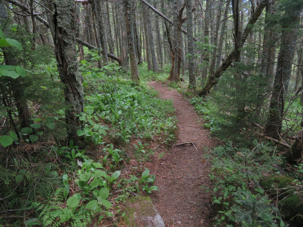
The lower half of Pine Bend Brook Trail is mostly very pleasant walking, giving no hint of the steep and rough climbing above.

In the lower two miles the trail crosses numerous brooks, all of them branches of Pine Bend Brook - I counted 14 of various sizes. At normal water levels these are quite easy.

A peek at North Tripyramid from the edge of a logging cut the trail passes by.

Entering the Wilderness at 2.1 miles.

After crossing a rocky brookbed, the trail ascends roughly up the right side of a wild ravine.

Jumble o' rocks, presenting some awkward footing.

Wild and lush.

More tough footing as the trail climbs in the brookbed for a bit.

A fresh double blaze marks a key left turn out of the ravine that is easy to miss in winter when the trail is unbroken. I know this from experience, many years ago.

The steep, rough ascent continues up the side of a spur ridge, eased in places with rock steps placed by the USFS Saco Ranger District trail crew a few years ago.

The grade eases a bit heading up the wild, brushy ridge.

At the top is a nice fir forest stroll across the crest of Scaur Ridge.
Near the junction with Scaur Ridge Trail, at 3440 ft., were perhaps the season's last trout lilies....

...and red trilliums.

Near this junction a path through tall hobblebush leads to an open glade with a partial view north to Mt. Washington...

...and Mt. Carrigain. With deep snowpack, this is a really fine spot.

The narrow ridge traverse beyond the trail junction is a favorite of many a Tripyramid hiker.

The last ~0.3 mile of the climb up North Tripyramid's cone is classic "steep and rough" with many slippery rocks tilted at awkward angles.

Every route up Tripyramid has at least one steep section.

At the top, I immediately headed steeply down the Mount Tripyramid Trail.

You drop about 200 ft. in elevation to get down to the North Slide.

The world drops away below. The North Slide fell during a massive rainstorm in August 1885. Even 136 years later, it remains one of the biggest slides in the Whites, though it was once even larger. During his study of White Mountain landslides in the 1950s, Edward Flaccus measured the average slope of the North Slide at 29 degrees with a maximum of 35 degrees. He estimated a length of 1100 yards (about 0.6 mile), an average width of 90 yards, and an area of 20.5 acres. He calculated the weight of debris moved at nearly 107,000 tons, the highest figure among the 23 White Mountain slides for which estimates were made.

The expansive views here are some of the best in the Whites. Some 27 NH 4000-footers can be seen near the top, and several more can be added if you drop down farther,

Looking north.

Mt. Carrigain and Mt. Washington are dominant.

The distinctive profile of Mt. Garfield.


The Osceolas, with a good look at the Painted Cliff on a spur of East Osceola.

It was just me and the black flies on the slide for an hour and a half.

Heading back up to the top of the slide.

Trail signs just below the summit.

The NE outlook on a short side path off the summit has really grown in over the last few years.

Middle and South Tripyramid and Sandwich Dome seen from an off-trail viewpoint on the west side.

I always enjoy the half-mile ridge walk to the Sabbaday Brook Trail junction.

More signage.

The upper 0.3 mile of Sabbaday Brook Trail is wickedly steep.

Almost looks like an Adirondack herd path in places.

On the lower part of the steep section are sharply angled slabs from an old slide, one of two that were once prominent on the east slope of Tripyramid. The trail formerly followed this slide to its bottom, but a relocation made in the 1980s fashioned a more moderate route swinging out to the north.

One peek at Mt. Chocorua from the slabs of the old slide.

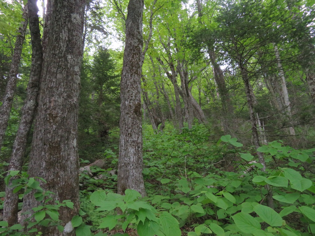
The relocated section passes through a beautiful high elevation hardwood glade.
Birches in late afternoon sun.

Sabbaday Brook in a mossy guise.

The walk down through the upper Sabbaday valley can best be described as "magical."

Sled runners from an upper logging camp of the Swift River Railroad.

I've never seen a sweeter patch of purple violets anywhere in the Whites.

Fine rock waterbar work by the trail crew of the USFS Saco Ranger District. The loop described here, including the side trip to the North Slide, is 10.6 miles with 3100 ft. of elevation gain.


lovely stuff, Steve!
ReplyDeleteI remember well the steep part of the Sabbaday Brook trail just before reaching the Tripyramid trail. It's even harder to descend than going up. Well worth the effort, however.
ReplyDelete