
OSCEOLA BROOK: 3/3/17
Taking advantage of a beautiful winter day with perfect hardpack snowshoe bushwhacking conditions, Carol and I enjoyed a leisurely bushwhack almost halfway up Osceola Brook on the south side of Mt. Osceola. Our main objective was to see if we could find a feature called "Osceola Rapids" shown on A.L. Goodrich's early maps of Waterville Valley and mentioned in his guidebooks. We think we did.
We started up Tripoli Road from the Livermore parking area and partway along made a short side bushwhack to see the remnants of a log driving dam on the West Branch of the Mad River, built by the International Paper Co. in the 1890s.

Icicles on timbers from the old dam.

Looking upstream from the open area on the north side of the dam, with a ridge of Mt. Osceola seen in the distance.

Our next destination was the Osceola Vista Campground for some mountain views.

Staying off the Waterville Valley groomed XC trail that leads to the campground (trail pass required), we made another short bushwhack from Tripoli Road, passing this abandoned old car en route.

Carol slaps her snowshoes down on a steep crusty slope.

Sunny fields at the campground, with Mt. Kancamagus in the distance.

Why it's called Osceola Vista. The steep headwall of the Osceola Brook ravine is in the center.

Most of the large slide caused by Hurricane Carol in 1954 can be seen from here.

A peek at the Tripyramids.

Good tracking snow - rock solid base with a dusting on top.

We bushwhacked through open hardwoods between Waterville Valley XC trails (which were busy today), hopping on the trails only to get across the bridges over the West Branch and a tributary of Osceola Brook. Then we started whacking up the west side of Osceola Brook.

One of the first spots where we came beside the brook.

An open spot along the lower reach of Osceola Brook.

Some minor rapids.

Hard to capture in a photo, but here we were peering down into a small gorge through which the brook was surging.

Interesting ice sculptures dangling over the brook.

We were also on the lookout for a feature called Emerald Pool, shown on the 1892 edition of the Goodrich Waterville Valley map, but not on any of the subsequent four editions. This pool was very small, but did have a distinct greenish tint.

We took a late lunch break on this sunny, snowy ledge beside the brook, well up into the valley.

Not too much farther upstream we came to a lovely series of cascades and waterslides that we figured must be the aforementioned Osceola Rapids. They were a little lower than I thought they would be based on Goodrich's hand-drawn maps, but certainly fit the name. In the 1890s a dead-end trail led to the Rapids from the lower end of the old trail up Mount Osceola. Around 1900 A.L. Goodrich opened a trail continuing up the ravine of Osceola Brook to the col between Mount Osceola and East Peak. It was known as the Ravine Path, and later the Osceola Brook Trail, and its upper section was very steep and rugged. It was abandoned during World War II.

Another angle on the upper drop of the rapids. Hard to capture in a photo, Need a pro to get a good shot.

Here is A.L Goodrich's 1892 map of Waterville Valley, showing Emerald Pool and Osceola Rapids and the trail to them both.

The brook slides down to the top of the Rapids.

Looking upstream above the Rapids.

Just above, we saw timbers that looked like the base of an old logging bridge. Indeed, an old handwritten account by Nathaniel Goodrich (A.L.'s son) and others (in the archives of the Waterville Valley Athletic & Improvement Association) tells of a bushwhack descent to just above Osceola Rapids from the rough ridge to the east. In that account, the author warns hikers not to cross the brook on the lumber road, but instead to follow the trail down the east side of the brook.

Looking across the brook at the possible bridge site. It looks like an old logging road leading away.

Possible continuation of the logging road on the side we were on.

Cascade and pool.

This could be deemed an Emerald Pool.

A huge boulder stands guard over the brook.

This looked like it could be part of the old Ravine Path, though most maps showed it on the other (east) side of the brook above the Rapids.

Looking back at the trail-like section.

An old logging road cutting back up across the slope.
Looking upstream at our turnaround point, a quarter-mile above Osceola Rapids.

Looking downstream from the same spot.

A bushwhacker peers through the scrub.

A bird's-eye view of the brook from a big boulder.

Osceola Brook slides over multi-hued ledges.

A weathered old yellow birch.

Looking down Osceola Rapids.

The lower end of the Rapids.

On the return trip, we passed this nice wide spot in the brook.

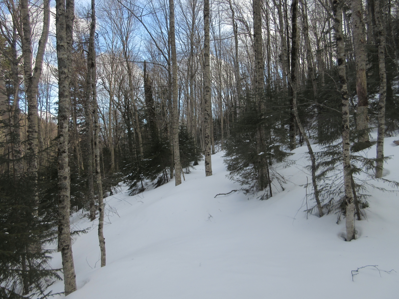
Gentle hardwood whacking in the lower valley.

A happy bushwhacker!

Darker skies at Osceola Vista.


what a wonderful excursion !
ReplyDelete