
DOUBLEHEAD MOUNTAIN (SQUAM): 7/28/16
On a hot muggy day my niece Rebecca (up visiting from Georgia) and I made the short but pretty steep climb to Squam Lake views from Doublehead Mountain in the Squam Range. After that we took a short walk to Beede Falls on the Bearcamp River Trail.
There's a new parking area at the end of Thompson Road in Sandwich - which cuts out 0.9 mile of road walking each way to reach the Doublehead Trail.

The first part of the trail has been relocated by the Squam Lakes Asociation, and passes this view towards the Rattlesnakes from the top of a sloping field.

A ledge near the top of Doublehead offers an expansive view over Squam Lake.

Looking down the Squam Range to Mt. Webster and Mt. Morgan.

Here we met a woman whose son had gone to a school in Pennsylvania where Rebecca used to teach. Small world!

The trails on the Squam Range are maintained in excellent fashion by the Squam Lakes Association.

SLA trail signs at the junction on the ridge.

The Crawford-Ridgepole Trail runs through spruce forest up on the ridge.

A partial view north to Welch and Dickey from the east summit of Doublehead. Hazy South Kinsman can be seen in the distance.

In the col between the Doublehead summits. We found a geocache on each of the two peaks.

We stopped again at the view ledge on the way down. The climb to Doublehead is quite steep in its upper section. No problem for Rebecca, who has recently completed a Tough Mudder and a half-marathon.

After descending from Doublehead we drove over to the trailhead at the historic Mead Base at the foot of Mount Israel.

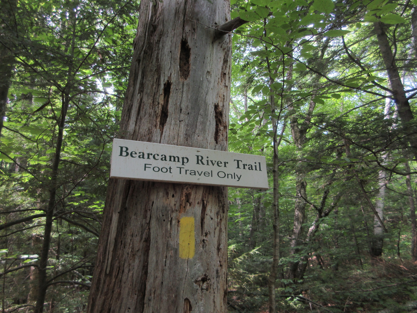
Nice easy walking on the Bearcamp River Trail.

Cow Cave, where legend holds that a settler's cow spent a winter sheltered from the weather.

Expansive ledges at Lower Beede Falls on the Bearcamp River. This is a popular swimming spot in the Sandwich Town Park. Not much water to dip in at the moment!

Beede Falls, just a trickle during this midsummer dry spell.


No comments:
Post a Comment