
RAGGED MOUNTAIN & BOG MOUNTAIN: 6/10/14
On this muggy day I enjoyed two hikes on the Sunapee-Ragged-Kearsarge Greenway. The main event was a hike to the West Top of Ragged Mountain's East Peak and then down via the impressive Bulkhead cliff with my good friend Allen Koop, who has climbed Ragged many times. I followed that with a short late afternoon jaunt up little (but rewarding) Bog Mountain.
Allen and I met at the parking lot for the Proctor Academy Field House in Andover, which is the southeastern trailhead for the Ragged Mountain Trail. The Ragged Mountain Trail is part of the 75-mile Sunapee-Ragged-Kearsarge Greenway, which is maintained by a dedicated group of local volunteers known as the SRKG Coalition. The first half of the climb was a mostly gentle warmup along pleasant footpaths and old woods roads.

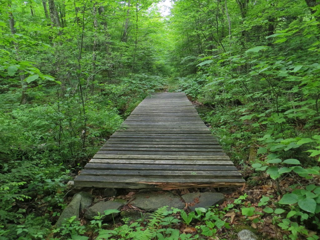
A trail bridge along a leafy corridor.
The SRKGC recently cut a relocation that avoids a steep, eroded section of a woods road.

A white trapezoid is the standard blaze for the SRK Greenway.

On the way to the West Top, we passed some new ski trail construction at Ragged Mountain Ski Area.

The open ledges of West Top (at about 2200 ft.) open sweeping views to the west and south.

Ragged's ski-trailed West Peak can be seen close by to the NW.

Looking out to the Sunapee-Lovewell ridgeline on the horizon.

We headed a short distance back across the ridge, making a quick side trip to the south outlook, with Mt. Kearsarge anchoring the vista.

Allen had an afternoon appointment, so we bypassed the side trip to the summit of East Peak and the north-viewing ledges of Old Top, and descended to the side trail that leads to Balanced Rock.

Many have tried, but no one has yet budged Balanced Rock.

Another angle on this neat glacial erratic.

One of the main purposes of my visit was to check out a fairly new trail down to "The Bulkhead," an impressive cliff on the east side of Ragged.

The trail to the Bulkhead, laid out by a Proctor Academy student, first leads to some great view ledges a short distance past Balanced Rock. This part of the route has been in use for some time.

Another good look at Kearsarge.

It dominates the countryside for miles around.

From this view ledge the route of the Bulkhead trail was hard to discern at first. No footway here, only a yellow blaze where it exits into the woods. Good thing I had Allen, a veteran of many Ragged excursions, as my guide! This route is for experienced hikers only.
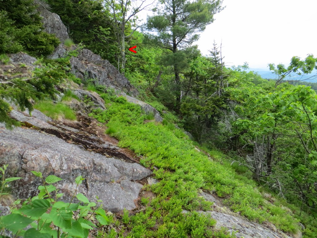
The trail immediately made a steep and bodacious descent down a jumble of broken rock.

The descent moderates, and the path leads past some neat wooded ledges.

The trail symbol for The Bulkhead.

After a short, easy climb we arrived at The Bulkhead (1850 ft.), a half-mile trek across from Balanced Rock.

This is one of the neater spots in southern NH.

A serious dropoff below.

A great perch for admiring the vast view.

Allen and his mountain, Kearsarge, which, by his estimate, he's climbed more than 1,000 times.

We descended by a series of Proctor Academy trails, which receive a lot more use than the trail above The Bulkhead.

A huge white pine right beside the trail.

We made a short side trip to Mud Pond, a scenic spot at the base of Ragged's south ridge. We saw a Great Blue Heron here. From here it was an easy descent back to the bottom of the Greenway trail on a woods road and connecting X-C trail. It was great to see a new side of "rugged lil' Ragged," as Allen calls it. Thanks to Allen for the informative guided tour!

In the late afternoon I made the 2-mile round trip hike to 1787-ft. Bog Mountain from the Stearns Rd. trailhead for the Greenway in Wilmot. Halfway up you get your first view, from a south-facing ledge.

It's a delightful and easy climb up this little gem of a mountain.

There's a huge expanse of sloping ledge just below the summit.

Looking out towards Sunapee, at the far end of the SRK Greenway.

A nearby outlook provides a look at Mt. Kearsarge.

Here you can also see Ragged Mountain, so from Bog Mountain you can see all three peaks for which the Greenway is named.


No comments:
Post a Comment