A cold, sunny day for a backcountry snowshoe journey to the slide on the east side of Flat Top Mountain, a northern spur of Mt. Garfield. The snow was deep and soft in the Garfield Stream valley. For the approach to Gale River Trail I used the popular route along the west side of the Beaver Loop from the Beaver Brook XC Trails parking on Route 3. Snowshoes should be worn on the XC trail.
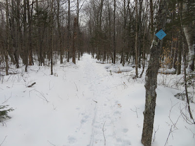
At a left turn in the XC trail an unmarked but obvious path diverges right and quickly leads to the Gale River Loop Road.

The road was well-groomed for snowmobiling - the recent snowstorm brought the first good conditions of the season for snowmobilers.
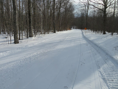
No shuttle service today.

Gale River Trail had a nice softly-packed snowshoe track leading through its long hardwood corridors. There was one snowshoer ahead of me.

There's a river under there - the North Branch of Gale River.

Inviting stretch on the relocated section that stays along the west side of the river.

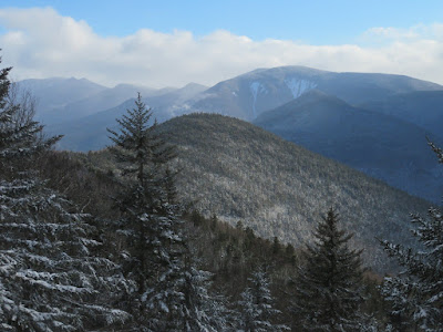
Across the valley, North Twin's version of the Giant Stairs.

Garfield Stream, the major western tributary of the North Branch.

A solid trail crossing here.

On the south side of the stream I began the bushwhack up the side valley. After the first step off the trail I could tell this was going to be a workout.

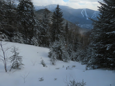
The slow pace of trail-breaking enabled me to savor the scenery, including this nice view up Garfield Stream.

Interesting ledge outcrops.

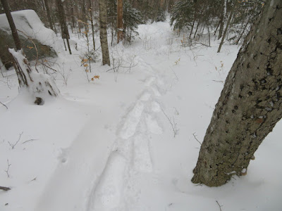
Holy moly, there was some deep soft snow in here.

Pushing through a bit of hoblebush.

The woods were mostly open, and a times it seemed I was on the corridor of the original Gale River Trail, which went up this valley past Hawthorne Falls to the Garfield Ridge Trail in the col east of
Mt. Garfield. (The trail to Galehead Hut was then called the Galehead
Trail.) This trail section was abandoned in the late 1950s. Most of it has been swallowed by the forest.

Farther up the valley I could see through the trees to a frozen cascade and the cliffs of Flat Top Mountain.

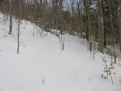
It looked pretty deep up ahead.
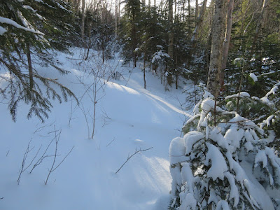
Yup. This was quite a contrast to the shallow depth along the Beaver Loop XC Trail.

Wondrous wintry beauty.

A good look at the Flat Top cliffs.

I broke out of the woods onto a great open ledge slab at the top of the cascade. This is the point where, during Hurricane Carol in 1954, the Flat Top slide came crashing down to Garfield Stream and made a 90-degree left turn into its bed.

Looking down the cascade.

A marvelous spot.

The last time I was here, in July 2013, it was 90 degrees and humid.

From here I headed up into the woods towards the slide.

Partway up the slope I cut across to the slide track and had my first glimpse up to the Twins.

Tracking the track.

The steeper gully ahead looked sketchy, a potential terrain trap. Time to head back into the woods.

Sidehilling.

Emerging onto the remaining open part of the slide, about 270 ft. in elevation above the stream. This is mostly gravel and loose rock in summer.

The prize of this slide is the unique view up the North Branch valley to North and South Twin.

Looking up the slide to the Flat Top cliffs.

Two decades ago I struggled up to some great perches atop these ledges through some very thick and gnarly terrain. A more sensible approach is to come in from the north.

A remarkable spine of gravel separates troughs on either side of the slide.

The crest of the spine is the best vantage point. Thanks to a lack of wind, I was able to enjoy this scene for half an hour.

North Twin, looking appropriately massive.

A stepped series of wild-looking cliffs marks a NW spur of North Twin. These perches offer interesting views up the Garfield Stream valley to Mt. Garfield.

South Twin and its two highest SW spurs.

Galehead Hut could be seen on the saddle below the spurs.

Old aerial photos reveal that the Flat Top slide was a three-pronged affair, but only the middle prong remains wide open today. On the way down through the woods I had a glimpse of the one small open patch on the northern prong.

A steep descent through open woods - still strenuous due to the unconsolidated snow - brought me back to the open slab on Garfield Stream, from where I retraced my tracks down the valley to the trail. The descent time from slide to car was a bit more than half of the ascent time.