Monday, September 23, 2019

Adirondacks: Lower Dix Range Bushwhack, 9/20/19


On the last day, before driving back to New Hampshire, I headed down Rt. 73 to the delightful herd path along the North Fork of the Boquet River, on the lower northeastern edge of the Dix Range. This path is now popular enough that it has a DEC trailhead register.


An easy crossing of the North Fork at low water.


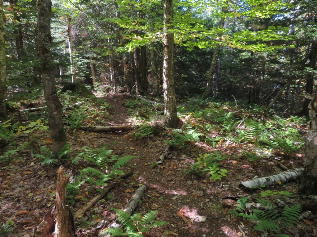
The herd path is a pleasant birch-lined dirt footway in its lower section.


Partway into the bushwhack I came upon a massive cliff hidden in the forest.


I considered going up this steep little gully, but decided it looked too sketchy.


The rock wall extended some distance to the left.


I skirted around its far end and continued up the slope...


...steeply.


Above here the grade moderated and I enjoyed pleasant whacking through an open forest of birch, hardwood and ferns. This whole area was burned in a great 1903 forest fire.


My objective was one of the many ledgy fire-scarred knobs near the North Fork of the Boquet. This balcony offers a grandstand view of the Dix Range.


 Spotted Mountain, Grace Peak (formerly East Dix), South Dix, Pough and Hough Peak rim the upper valley of the Boquet's South Fork. The herd path along the river leads 4 1/2 miles up this valley to the Great Slide on Grace Peak.


 The summit of Nippletop just peeks over a col in that ridge.


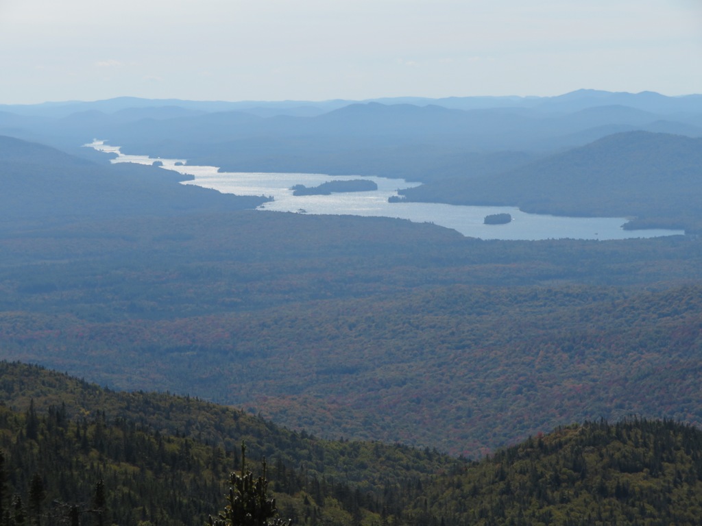
A placid stretch of the North Fork could be seen in the valley below.


A closer look at Dix Mountain (4857 ft.), 6th highest of the ADK 46.


The Beckhorn Slide, named after the sub-peak above the left fork of the slide..


The long northeastern ridge of Dix looks like an interesting bushwhack route. Dial Mountain peers over in back on the right.


Distant view to the south.


Noonmark Mountain's distinctive cone rises to the northwest beyond a nearer nameless peak.


Lots of dry bedrock bared by the 1903 fire.


 Early fall colors below.


I sat here for a long time gazing into this vast mountain amphitheatre. A captivating view.


I skirted the big rock wall again on the way down.


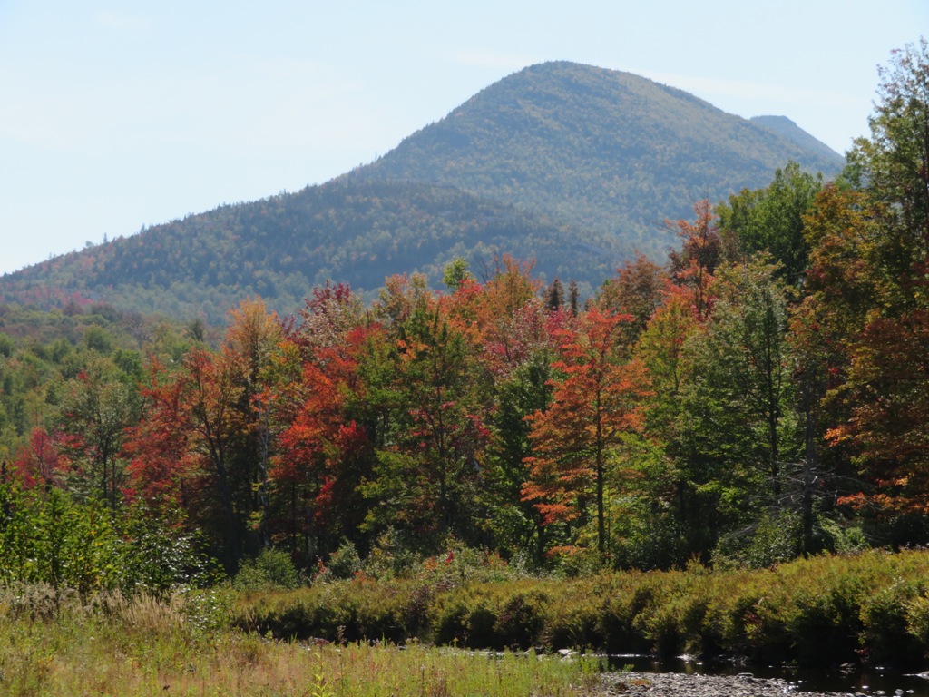
Spotted Mountain presides over a peaceful scene on the North Fork.


Grace Peak peers over on the right.


Just downstream a side path off the North Fork herd path leads down to a remarkable area of ledges, cascades and pools on the river.


Sculpted ledges.
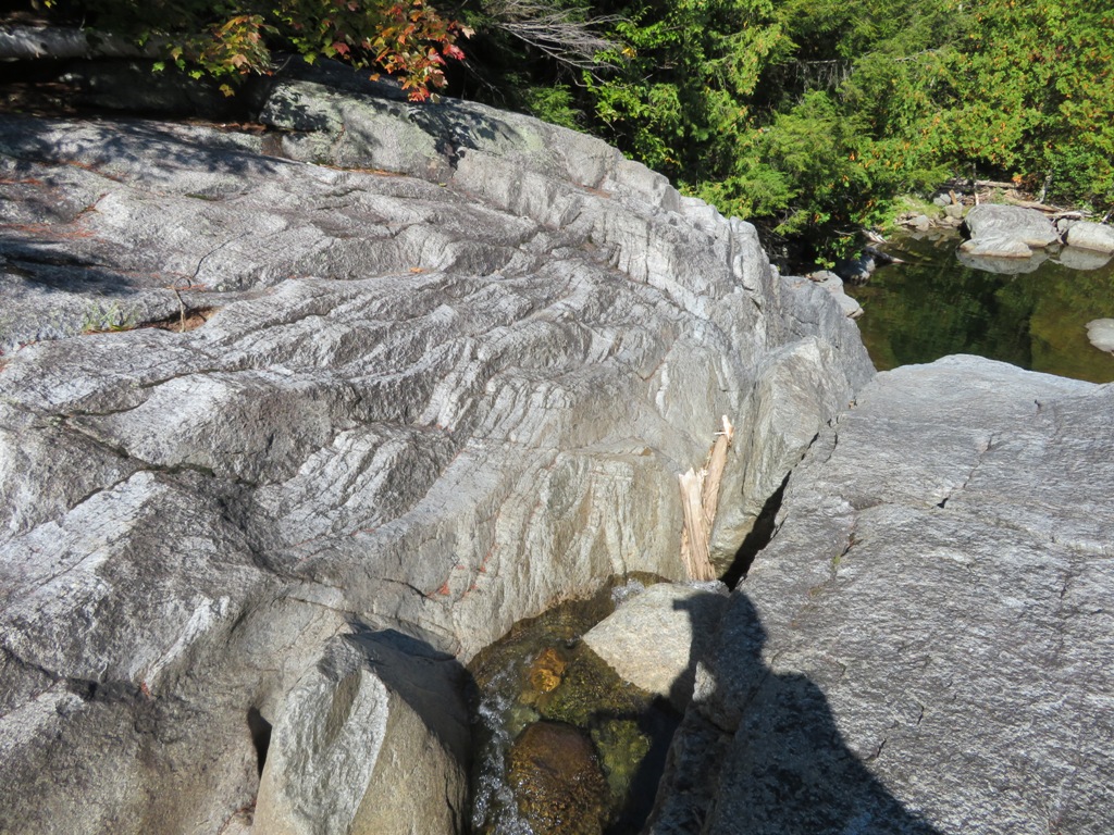

A popular swimming hole, one of many treasures in the Dix Range.


Adirondacks: Haystack Mountain (Saranac), 9/19/19


The afternoon after hiking Donaldson and Emmons, I headed up to Haystack Mountain (2878 ft.), one of the popular "Saranac 6" list. I chose the easier "back-door" route from Lake Placid via the Jackrabbit Ski Trail and a herd path created by Saranac 6-ers bagging Haystack and McKenzie Mountains on the same hike. The "front-door" route is significantly steeper.


This area is within the 37,616-acre McKenzie Mountain Wilderness - about the same size as the Sandwich Range Wilderness in the Whites, but with far fewer trails. The mileage given for Haystack Mtn. on the sign is for a longer route (actually about 4 miles, not 6.2) involving all maintained trails and not the route I took using the herd path, which was only 2.7 miles one-way.


The Jackrabbit Trail was mostly pleasant, easy walking on an old woods road.


The Lake Placid Lean-to, one of many Adirondack shelters scattered throughout the high peaks.


This cairn marks the start of the herd path up the back side of Haystack.


A glimpse up to McKenzie Mountain, 1000 ft. higher than Haystack.


After a few years of Saranac 6 action, the herd path is well-beaten.


Haystack Mountain is a gem. The view here from its open summit ledges looks southwest to Scarface Mountain, the trailless Sawtooth Range, the Seward Range and Ampersand Mountain.


The Seward Range in profile.


A wide open, peaceful setting up here.


A good look at the wild Sentinel Range to the east.


Big Burn Mountain rises beyond a hardwood valley.


Looking south to the high peaks. I spent a long time here lounging in the sun.


Descending through nice birch forest on the herd path.


Sunday, September 22, 2019

Adirondacks: Donaldson Mountain and Mt. Emmons, 9/18/19


The biggest hike of the trip was a ~14 1/2 mile round trip with ~3400 ft. elevation gain from the Coreys Road trailhead to Donaldson Mountain (4140 ft.) and Mt. Emmons (4040 ft.). These are two of the four peaks in the Seward Range, the westernmost of the High Peaks. They are officially "trailless" but have heavily beaten, unmarked herd paths leading to their summits. I opted for the easier western approach via the herd path along Calkins Brook. The start of the path is reached by an easy 3.3 mile approach on the Ward Brook Trail...


... and Calkins Brook Trail.


Nice color at a beaver pond near the junction of the Calkins Brook Trail and the Calkins Brook herd path that leads up to the Seward Range.


This artifact-enhanced cairn marks the start of the herd path.


The herd path provides pleasant walking in its lower section.


Low water at Calkins Brook.


Generally good footing continues well up onto the side of the ridge.


The path gets rougher after crossing this tributary at 3300 ft.


The herd paths do receive some maintenance, as there was virtually no blowdown along the route. Thank you!


Root washouts are typical on the steeper sections of the herd paths.


This section is a typical rough, eroded Adirondack herd path, though still better overall than many others.


The Calkins Brook path reaches the ridgecrest herd path just a short distance north of the summit of Donaldson, but right away there are a couple of ledge scrambles that are awkward with a big pack. For this one I tossed my pack up on top and pulled myself up with a sturdy root.


Looking north to the wild humps of Seward Mountain (4361 ft.), the highest peak in the Seward Range. I opted not to add this peak to the day's itinerary (an additional 1.6 miles round trip and 900 ft. of elevation gain) as Donaldson and Emmons were enough for me.


This one was tricky as muddy boots didn't grip well on the smooth ledge.


Above the scrambles an overgrown side path leads to a great west-facing ledge perch.


To the north, Ampersand Lake and Mountain.


Here you look down into the valley of Calkins Brook, with vast western horizons beyond.


Summit sign on Donaldson. A few years ago the traditional canisters were removed and replaced with plastic discs and then these wooden signs.


Seymour Mountain, the fourth peak of the Seward Range, stands apart from the others and is usually climbed separately.


From the summit ledge, looking over to wild Ouluska Pass, "place of shadows," between Seward Mountain and Seymour Mountain.


Long view south to peaks in the Siamese Ponds Wilderness.


The Santanoni Range - Panther, Santanoni and Couchsachraga - seen beyond the broad Cold River valley. This is some of the most remote backcountry in the Adirondacks.


Beaver meadows in the Cold River valley.


An array of high peaks seen to the east. The remote Allen Mountain is on the far right.


The herd path across to Emmons features plenty of Adirondack mud.


From an opening along the herd path to Emmons, a look down at isolated beaver ponds at the head of Boulder Brook, high on the west slopes of the range.


After a dishearteneing 350-ft. descent well below the ridgecrest, the path ascends across the top edge of this ledge with Mt. Emmons in sight above.


This ledge offers a fine view to the southwest.


A shimmering vista of Long Lake. I paddled the length of this lake on a week-long Boy Scout canoe trip around 1967.


One of several awkward little scrambles along the ascent of Emmons.


Summit sign.


Summit clearing. No view here.


On the way back across to Donaldson I took a break at the southwest view ledge.


A set of scrambles heading back up Donaldson.


Looking back at Emmons from the south end of Donaldson.


High peaks view back at Donaldson's summit: Giant, Wright, Algonquin, Iroquois, Colden and Marcy.


Nice afternoon light on the Santanoni view.


Back on Donaldson's west ledge, a boot shot, Adirondack-mud style.


Side view of a scramble and a monster ledge.


In case you're lost, D is for Donaldson and S is for Seward.


Descending a tight section of the upper Calkins Brook herd path. It was a rewarding long hike for an introduction to the Seward Range.


GPS track for the Donaldson-Emmons hike.