Saturday, January 23, 2016


FOOL KILLER LEDGE: 1/22/16

On a cold, crisp day I enjoyed a sunny snowshoe bushwhack with Cath Goodwin from the Sabbaday Brook Trail to a favorite ledge on the northern spur of the Fool Killer. The top of this large, open slab offers a unique perspective on the Sandwich Range Wilderness.

In the photo below taken earlier in January from Mount Passaconaway, the Fool Killer Ledge is the snowy patch in the foreground, lower right.


We walked 0.7 mile up the Sabbaday Brook Trail to the first crossing of Sabbaday Brook. On previous trips to this ledge I had shortened the bushwhack by following the trail for about 1.5 miles. Today the brook did not look safely crossable here, and that was likely to be the case for three more crossings. So we left the trail here and bushwhacked along the west side of the stream. After some annoying sidehilling at the start, we found pretty good going.


We set a leisurely pace, pausing often to admire interesting sights in the forest, such as these snow-capped shelf fungi.


We passed the Wilderness boundary beside a tributary brook.


Open hardwoods!


Cath spotted this unusual intertwining of a maple and a beech.


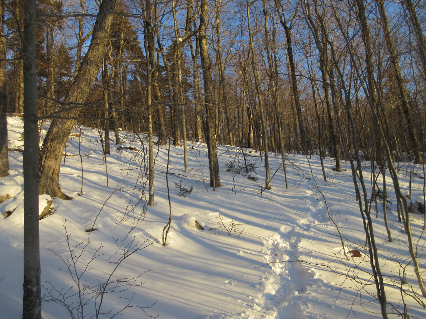
Good snowshoeing was enjoyed in the sunny woods.


Another interesting tree, getting a grip on granite.


Consistent with previous trips in this area, the woods were predominantly open.


Cath admiring a towering hemlock.


This is a big tree!


Park-like bushwhacking.


We passed through an extensive open stand of hemlock and spruce.


Getting steeper.


The final approach took us on a steep ascent through open spruces followed by a fairly strenuous sidehill traverse on a slippery crust.


The sun-washed ledge opened an unusual view up the Sabbaday Brook valley to East Sleeper, with Mounts Passaconaway and Whiteface beyond - the heart of the Sandwich Range Wilderness.

Looking east to Potash Mountain, Mount Chocorua and Mount Paugus.


Zoom on Potash and Chocorua.


Cookie time!


The great wooded dome of Mount Passaconaway.


The big snowy ledge slab below.


The sun was amazingly warm here, with no wind. We were able to lounge comfortably for more than an hour.


Parting shot of Passaconaway & Whiteface.


It's hard to beat these woods!


Late afternoon light on "South Potash."


The ice is slowly building up on Sabbaday Brook, but it will take another week or two of cold weather to build solid snow and ice bridges.


Thursday, January 21, 2016


BLACK MOUNTAIN (SANDWICH): 1/20/16

On a cold, windy day I headed into the Smarts Brook area for a snowshoe bushwhack to the 2732-foot Black Mountain on the SW ridge of Sandwich Dome. The major part of the whack involved climbing from the Smarts Brook Trail to the Algonquin Trail on the south side of Black, an idea inspired by a trip John "1HappyHiker" Compton did a few summers ago. The cover was thin in the conifers, but great snowshoeing was found in the open hardwoods.


Smarts Brook, starting to freeze over, seen from the Yellow Jacket Trail.


I took a look at the day's objective from the beaver pond along the Smarts Brook Trail.


A frozen cascade on the brook I followed up to the ridge. Will have to come back and check it out in summer.


After skirting several old logging cuts, at 1750 ft. I emerged in an expansive open hardwood forest that extended all the way up the slope. 


An interesting assortment of trees.


Good snowshoeing!


More hardwoods.


Near the head of this little valley the wind was ripping pretty good and there were some snowdrifts.


Nearing the top of the broad ridge south of Black Mountain.


Looking for the Algonquin Trail on a 2400-ft. plateau.


Somehow I crossed the Algonquin Trail without realizing it, so I ended up bushwhacking to the col on the east side of Black, following this little drainage for the final pitch.


The Algonquin Trail, at last, in the col.


A neat open glade in the col.


Whacking up the ridge to Black.


After tussling with some dense snow-laden scrub, I emerged on the great view ledge on the south side of the summit. I had been to this view ledge once in summer, but the vistas were limited by fog. Today the views were endless, with Mount Monadnock easily visible far to the south. The closer south view looks at the Campton Range with Lower and Upper Hall Ponds at their base.


Wild country on the NE side of Sandwich Notch. The area in the foreground is within the Sandwich Range Wilderness. The Belknap Range is on the horizon left of center through the "other" Sandwich Notch, between Dinsmore Mountain and the Squam Range.


Mount Israel and the Ossipee Range.


The massive shoulder also known as Black Mountain looms close at hand, with the snowy summit of Sandwich Dome behind on the left. The Algonquin Trail climbs very steeply up this shoulder, with excellent views. It would be a tough climb in winter. Perhaps the first traverse of this rugged ridge was fashioned in 1876 by AMC members Charles E. Fay and G.C. Anthony. On their way down they ascended the lower Black Mountain. Wrote Fay in Appalachia: "This method of descent offers nearly every variety of style and difficulty: long reaches of windfalls among tangled growth where progress is reduced to a minimum; reaches of rapid transit over the bare crest; and withal some extremely difficult clambering down through the small growth (deciduous and evergreen) that finds a scanty foothold on the rocky southerly side of this ponderous spur. The views are fine save to the north and northeast."


A Boreal Chickadee stopped by for a visit with a few pals.


Down-look.


A cairn at the summit.


On the way down, a peek at the Osceolas.


Cliff-faced Sachem Peak with the Osceolas beyond.


Sachem Peak and Jennings Peak.


Back on the Algonquin Trail - looks like winter up here.


Rough snowshoeing on the steep pitch down from the col.


 Here is where I crossed the Algonquin Trail on my upward bushwhack. Don't know how I missed it!


Late afternoon in the hardwoods.


Golden light towards the end of a fine day.