STARK FALLS BROOK EXPLORATION: 1/21/14
On a very cold but relatively windless day I strapped on the snowshoes for a meandering bushwhack exploration centered on the valley of Stark Falls Brook, on the flank of Mt. Blue to the north of the Beaver Brook Trail and Beaver Pond in Kinsman Notch.
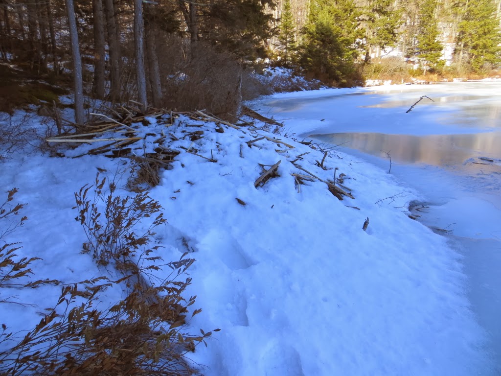
The Beaver Brook trailhead was the best place to park, so I set off from there late morning with the car thermometer reading -1 F. I went up the Beaver Brook Trail past the first crossing of Beaver Brook, then headed into the woods. I snowshoed through this nice hardwood glade behind the SW corner of Beaver Pond.

I continued through the conifer woods behind the west shore of the pond, where the cover was much thinner than in the hardwoods - a trend that would continue through the day. I scooted out to the big ledge along the west shore for a look at the pond, Mt. Waternomee and Mt. Jim.

I continued north past the pond, coming out on a logging road at the base of an old clearcut, with a good view of snow-caked South Kinsman, and the Beech Hill ridge in the foreground.

South Kinsman.

I dropped down to Stark Falls Brook and continued down to the base of frozen Stark Falls.

A side view.

A closer look at part of the falls.

Stark Falls Brook above the falls.

As I was bushwhacking up the slope on the north side of the brook, I stumbled upon what is apparently a climber's path heading up the valley.

I continued up the slope to a plateau north of the brook valley, passing several bear trees.

This is an old, well-used bear tree.

The plateau is a lovely, secluded area.

I had a peek at the precipitous slope rising on the west side of the plateau, one of the steepest areas in Kinsman Notch.

A closer look at the crags above.

I pushed my way through some fairly dense conifers, where a dusting of snow barely covered the ground, seeking a possible clifftop viewpoint facing east and NE. I spotted a little shelf down below.

From here there was a view of the southern Kinsman Ridge, Mt. Wolf and South Kinsman trailing away to the NE.

South Kinsman and its SE spur peak.

A good dropoff below.

Rt. 112 and the southern end of Kinsman Ridge.

I worked around to a lower spot for a look across the cliff face towards Kinsman Notch.

I retraced my tracks southward across the plateau and then swung west to head up the north side of the Stark Falls Brook valley through hardwood forest. I soon passed this enormous old yellow birch stub.

Good whacking.

Looking up to the steep northern wall of the valley.

Great snowshoeing in here - 6" of powder atop a firm crusty base.

More bear trees.

Looking across the valley to a high knob on the south side. Perhaps that is where the remains of an old donkey steam engine lie rusting in the forest. As described in the publication Forest History of Mount Moosilauke, by J. Willcox Brown, when lumberman G.L. Johnson was stripping the timber from the slopes of Kinsman Notch in the early 1900s, there was a patch of old-growth spruce that seemed well-nigh inaccessible up behind this steep-sided spur. But woods boss James "Jakey" McGraw was able to cut a road up into the valley and devise an ingenious scheme for sliding the logs via cable down to the floor of the notch. For more on this, see this article by Dave Anderson, Education Director for the Society for the Protection of NH Forests.

I snowshoed up through the hardwoods to about 2450 ft., then I found the climber's path again and followed it up to this ice cliff on the north wall of the valley at 2650 ft. A neat spot, though it seems like a pretty short climb for a mile-long approach with a 1000-ft. ascent from the road.

I passed this glacial erratic on the way back down.

Another look at Stark Falls, in fading daylight. I finished my day's wanderings with a crossing of Beaver Pond at dusk, returning to my car at a balmy temperature of 1 above. We're deep into winter this week, for sure.