Saturday, February 8, 2025

Franconia Brook Beaver Ponds: 2/7/25


With snow squalls creating sketchy driving conditions, I decided to stay close to home and head over to Lincoln Woods for a snowshoe jaunt into the Franconia Brook valley in the western Pemigewasset Wilderness. If snow conditions permitted, I would visit two beaver wetlands with interesting views of Owl's Head Mountain and other surrounding peaks.
 
Thanks to five weeks of consistently cold weather, the East Branch of the Pemigewasset was locked in with snow and ice, as seen here looking upstream from the suspension foot bridge at the start of the Lincoln Woods Trail.


With a four-inch snowfall the previous day, there was nice soft snowshoeing on the old railroad grade - a relative rarity at Lincoln Woods. There were just three snowshoers ahead of me, one of whom turned back after a mile.


A view over the river from the washed out area at 0.7 mile.


A side path (caution needed at the edge of a steep bank) leads to an impressive view of Scar Ridge to the south.


The two snowshoers ahead of me veered off onto the Osseo Trail. From here on I had first tracks in the new snow.


A glimpse of slide-scarred West Bond from the river's edge.


Looking upstream to Bondcliff and its sharp south peak.


The long straightaway beyond the riverside views.
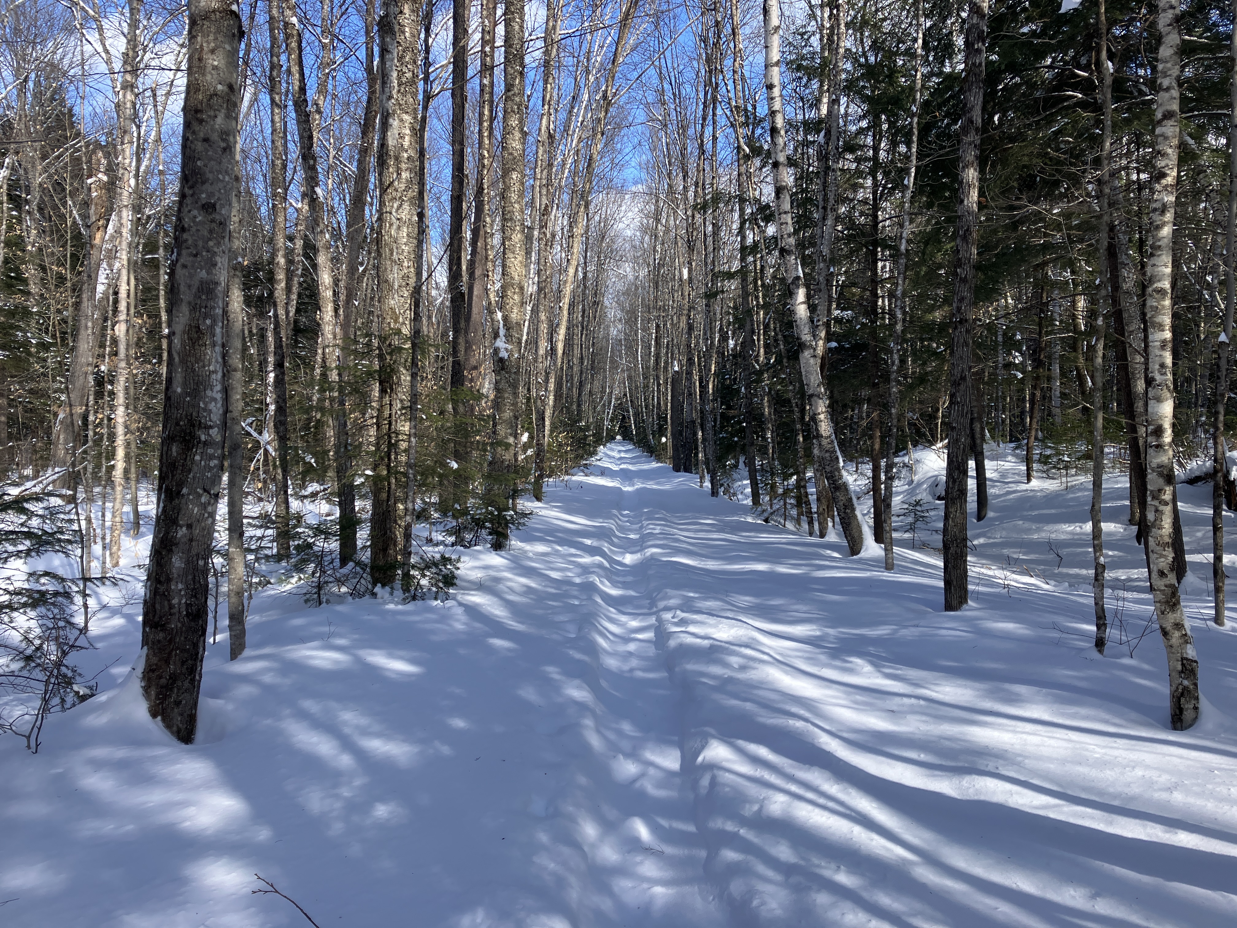


Old tracks on the bridge over Franconia Brook.


From the bridge, a view of Mt. Flume upstream.


Into the Wilderness. No old tracks beyond the bridge.


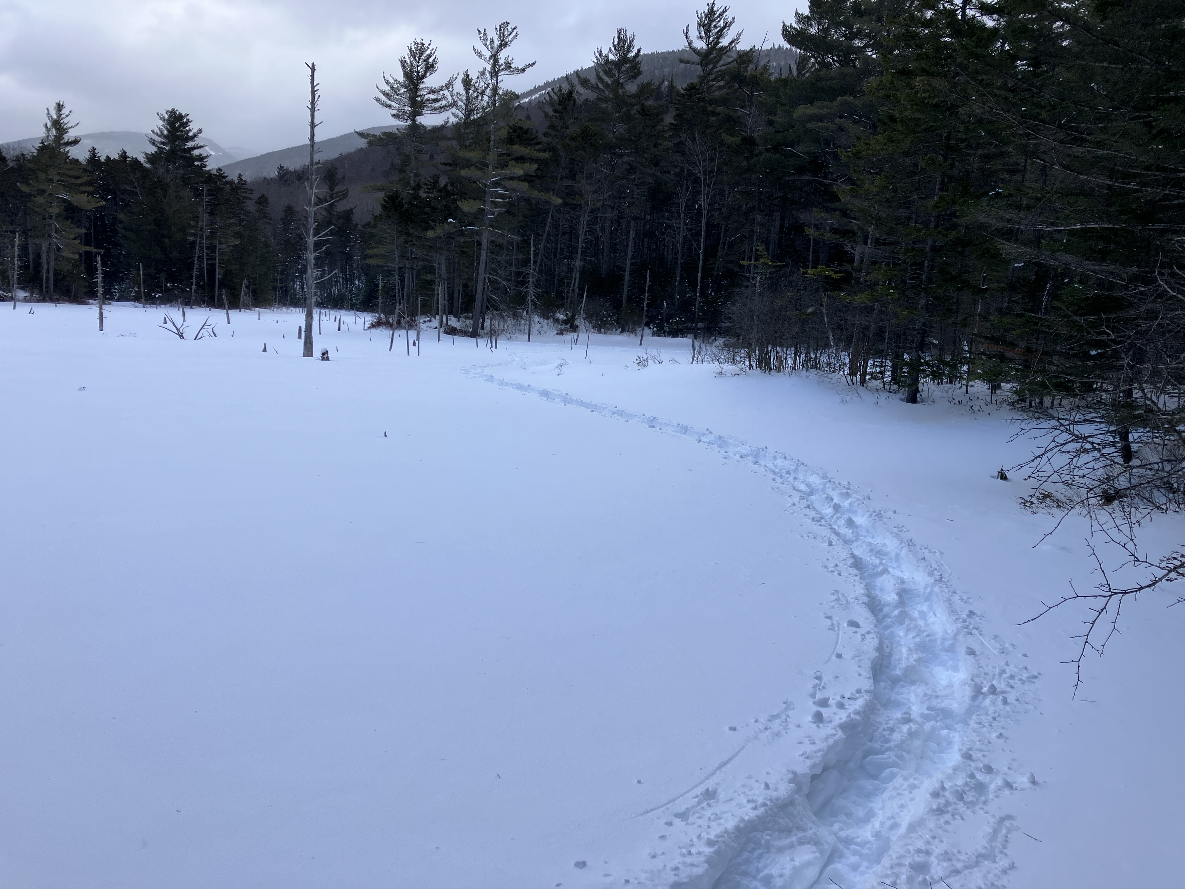
A left turn onto Franconia Brook Trail, which is seldom traveled in winter. What would the trail-breaking be like?


As it turned out, there was a faint trough on the trail that indicated it had been broken out sometime in January.


There was a foot of powder in the trough.


Breaking trail was slow going, but easier than plowing through the 18+" of snow on either side.


Looks like a railroad grade.


Looking back.


The second of three crossings of Camp 9 Brook. I thought the little trough running along the brook might have been made by an otter [?].


There are some large white pines in this part of the valley.


It took more than an hour to travel 1.1 mile from the Franconia Brook bridge to my first objective: an extensive beaver wetland on the west side of a trail relocation that leaves the railroad grade for 0.2 mile. The impressive view of the south end of Owl's Head Mountain is more accessible when the wetland is frozen.


I wandered around the wetland, plowing through knee and thigh-deep soft snow.


Camp 9 Brook meanders through the area. This vicinity was the location of Camp 9, occupied by the loggers of J.E. Henry's East Branch & Lincoln Railroad in the early 1900s. Part of the camp location was later inundated by beavers.


From another spot I found a good view of Mt. Flume, with Mt. Liberty peeking out on the right.


After a sketchy third crossing of Camp 9 Brook, I followed the trail as it rejoined the railroad grade and headed north to the Lincoln Brook Trail junction.


The junction, 4.6 miles from the parking lot.


I continued north for 100 yards on Franconia Brook Trail to a large trailside beaver pond, seen as the bright opening ahead.


It's a wonderfully desolate spot in winter.


The trailless peak of Southwest Twin was briefly illuminated by the sun.


The pond was solidly frozen, allowing a leisurely traverse of its snowy expanse.


From a previous winter visit, I knew there would be an excellent view of Owl's Head from the south side of the pond.


 Zoom on the sharp south peak and the cliffs on the SE spur.


I continued across to the east end of the pond for a view of Flume and Liberty.


Looking back as I returned to the trail.


It was easier going back, slightly downhill with one set of tracks, but still a slog for the first 1.8 miles.


The sketchy northernmost crossing of Camp 9 Brook.


A fuzzy view of Bondcliff and its south spur from another beaver wetland. Upon returning to the Lincoln Woods Trail, I noted no new tracks on either the Bondcliff Trail or Black Pond Trail, so I had the western Pemi Wilderness to myself on this midwinter day. I shuffled the last 1.5 miles by the intermittent light of a 5/8 moon overhead.


Thursday, February 6, 2025

Flat Top Slide: 2/5/25


Another cold day in this "old fashioned New England winter." Despite the low single number temperature and morning wind, I was going to give Mt. Pierce a go. But when I pulled in to the Crawford Path parking lot I saw six microspikers heading in, with not a snowshoe in sight. I've climbed Pierce often enough that I didn't need to slog up three miles of rototilled trail! So I drove back to the Beaver Brook Ski Trails for a slide bushwhack in the Gale River valley, one of my favorite winter playgrounds. I had stopped there on the way to Crawford Notch and noted several vehicles and fresh snowshoe tracks. After 0.7 mile on Beaver Loop X-C Ski Trail and 0.35 mile on snowmobile-groomed Gale River Loop Road, I arrived at the trailhead for Gale River Trail.


The trail had an excellent packed powder snowshoe track, thanks to peakbaggers Joanna, Ilse and James, who were headed to Galehead and the Twins.


After a long, gentle stretch through hardwood forest, the trail briefly comes beside the North Branch of the Gale River.


An inviting softwood corridor.


One of my favorite sections of the mile-long relocation made by the WMNF in 2011.


Garfield Stream, frozen and buried where the trail crosses it.


On the far side of the crossing I headed off-trail into the woods, following Garfield Stream up to the base of the slide on Flat Top Mountain. The deep, soft snow looked daunting as I left the packed track.


I knew this would be a slow-moving workout in the 20-24 inches of unconsolidated snow with no base.


Coming down from an upslope bypass of some rough ledges.


With each successive snowfall the bushwhack trail-breaking gets more difficult.


In places I could follow the corridor of the original Gale River Trail, which once led up this valley to the Garfield Ridge Trail in the deep col east of Mt. Garfield. This was part of the first trail route to Mt. Garfield, cut for the AMC by Franklin Clark in 1897. The section in the Garfield Stream valley was abandoned by the WMNF in the late 1950s.  Most of this route has been reclaimed by the forest.


Hobblebush traps lurking ahead.


Looking back.


A peek up at the wild SE-facing cliffs of Flat Top Mountain (3,248 ft.), a northeastern spur of Mt. Garfield.


It took more than an hour for this old guy to break trail 0.35 mile to the huge snowy granite slab along Garfield Stream at the base of the Flat Top slide. Perhaps the first to visit this spot were Benjamin J. MacDonald and local guide Allen Thompson, who ascended the valley of Garfield Stream (then called Deep Hole Brook) in 1880 as part of a multi-day  exploration of the Mt. Garfield area. "For at least one hundred and fifty feet the water flows swiftly over an immense granite floor nearly fifty feet wide, rivalling, if not surpassing, the far famed cascades in the Franconia Flume," wrote MacDonald in one of his series of hike descriptions entitled "Echo Explorations" in The White Mountain Echo, a leading tourism newspaper published in Bethlehem, NH.  


At the lower end of this slab is a multi-tiered cascade that MacDonald and Thompson named "Eaton Falls," in honor of a local farmer they had visited with on the way to their exploratory trek.


A beautiful wintry scene here.


Out here in the open, the snow was deep. This is the point where, during Hurricane Carol in 1954, the three-pronged Flat Top slide came crashing down to Garfield Stream and made a 90-degree left turn into its bed.


Only the central section of the middle prong of the slide, and one small patch on the northern prong, remain open today. To access the largest open area, I headed up into prickly conifers on the slope between the middle and northern prongs.


Thickets of small snow-laden spruces made for a slow ascent, with constant branch-banging to minimize the number of cold showers of powdery snow.


Farther up, the woods were more open, but the climbing was steep.


I arrived at the open slide section - in summer a spine and gully formation of gravel and loose rock - at mid-afternoon, looking across to a spur of Garfield Ridge. Mindful of the morning's "moderate" avalanche forecast for the east side of Mt. Washington, I used lower angle slopes to get out to the middle of the slide.


First look across the valley to the Twins.


Out on the spine, I could look up to the frosted cliffs of Flat Top Mountain.


A snow-crusted white pine at the edge of the slide.


An advantage of my late morning start was that the day's wind-driven clouds had finally melted off the Twins, revealing them in their full winter glory.


South Twin and part of its prominent SW ridge.


The massive bulk of North Twin.


Looking back at part of the steep descent from the slide.


Late afternoon on the big ledge slab along Garfield Stream.


Dusk drawing on in the hardwoods along Gale River Trail. For the last mile I was aided by both headlamp and the light of a half moon high overhead. The temperature was a balmy 3 degrees when I got back to my car.