Saturday, May 6, 2023

Tripyramid Variety Pack: 5/5/23


One more spring trip out to the wild and beautiful country on the west side of Mount Tripyramid. This one provided a great variety of features: a beaver pond, several cascades, two logging camps, a hidden cliff, two slides and endless ranks of open hardwoods. And a favorite spring wildflower, too.

From Depot Camp I could see that there was freshly fallen snow on the upper slopes of Tripyramid, especially on the North Slide, glimpsed through the trees on the left.


There were several artifacts visible at the site of the early 1900s Swazeytown logging camp, including this bed frame.


And this bucket, now serving as a planter. As always, note that these artifacts are protected by law and should not be removed.


This was the site of the Swazeytown Dam on Slide Brook, used to build up a head of water for log drives down the Mad River in the early 1900s. The site was named for Ebenezer Swazey, who homesteaded here from 1840 to 1849.


This old postcard shows the view of Tripyramid from Swazeytown during the log-driving era. At that time there was a pond behind the dam.


A century later the site of the pond is grown up to brush and trees, with just a glimpse of North Tripyramid in the distance.


Beavers have recently been active on a tributary stream.


Just upstream on the tributary is an older beaver pond, a serene spot. Here I stirred up a Belted Kingfisher and a Wood Duck.


Nice day for a stroll up the wide and winding Livermore Trail.


White Cascade was still surging five days after the big rain.


A few years ago Waterville tramper Daniel Newton spotted this old metal Forest Service sign being swallowed by its tree.


Slide Brook scenery.


I went off-trail to a known location for Dutchman's breeches, a relatively uncommon flower in the Whites. They prefer an enriched soil, such as is found at the base of this sugar maple.


A few of the many plants in this location were in bloom.


At another location, not far off-trail, I visited what may have been the site of the first Avalanche Camp in the early 1900s. (The location of the second Avalanche Camp is an obvious clearing a half-mile farther up Livermore Trail.)


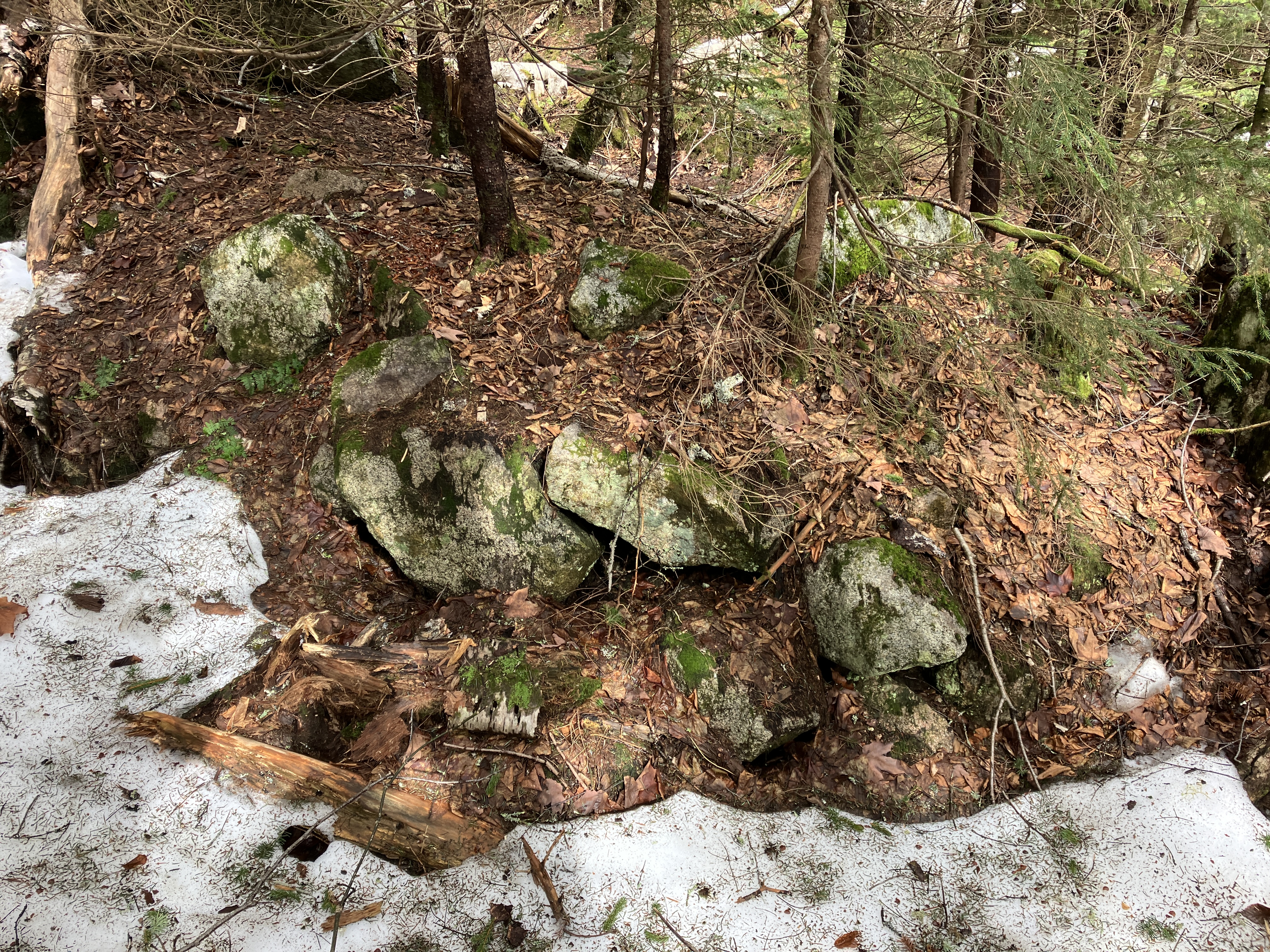
The few artifacts here are partly buried.


From here I switched to Crocs for a crossing of Avalanche Brook at a pretty spot.


On the far side I was greeted by this giant maple, and then more Dutchman's breeches.


Old gnarled trees populate this spacious bottomland.


This old logging road may have been part of an older route to North Tripyramid, when the trail was a true loop starting beyond where the south end of the trail crosses Avalanche Brook.


I cut across to the south link of the Mount Tripyramid Trail and headed up along Slide Brook.


I headed off trail again before the crossing of Cold Brook. I thought this image could be titled "Coexistence."


A long, sliding cascade on Cold Brook.


The old logging road Ray Caron and I had traversed a week earlier.


Cold Brook is a lovely stream, even if it was snubbed on the current USGS Mount Tripyramid quadrangle and some of the trail maps derived from it.


Dreamy open hardwoods on the north side of Cold Brook.


Nice spot for a break.


A looming spur of South Tripyramid.


Ascending towards the spruce line in search of a hidden cliff.


The terrain gets steep and gnarly in the spruces.


There's the cliff, which I first visited three years ago.


The "Tripyramid Wall" is really tucked into the forest. It resembles some of the cliff faces in the Square Ledge area near Mount Passaconaway.


Back down to the sweet hardwoods.


One of the higher old logging roads on this slope, at ~2950 ft.


Birch graveyard. I followed this old road most of the way back to the Mount Tripyramid Trail.


The snowfield below the South Slide had diminished somewhat from a week ago, but was still more than a foot deep.


While bushwhacking across to the "Third South Slide," which fell during Tropical  Storm Irene in 2011, I crossed this rocky spine. This is likely what geologists call a "debris flow levee," deposited alongside the track of the 1869 slide (the "First South Slide," the one the trail ascends).


Approaching the open swath of the 2011 slide, which is considerably shorter than the 1869 slide that forms the route of the trail. It appears that this recent slide "refreshed" one of the three tracks of the "Second South Slide," which fell in 1885. The Kate Sleeper Trail crosses the top of the 1885 slide.


This slide has a bit of a half-pipe shape to it.


I wondered if this was fresh gouging from the big rain five days earlier.


Good exposure of monzonite bedrock.


A thin aplite dike cuts across the ledge. Aplite is a fine-grained, intrusive igneous rock.


View to Sandwich Dome and Lost Pass.


Mount Tecumseh, with Mount Moosilauke peeking out on the right.


I then bushwhacked across the slope, traversing an open slide patch that may represent one of the three tracks of the 1885 slide.


A brief sprinkle misted over this view towards Mounts Tecumseh, Moosilauke and Osceola.


There were a few lingering patches of snow that had fallen over the previous couple of days. A far cry from the two feet that Mount Washington received.


Emerging on the 1869 slide and the Mount Tripyramid Trail.


Long view to the southwest.


Other than the snowfield just below the slide, the Mount Tripyramid Trail was 99% snow-free on the way back down - though still wet in places from the big rainstorm.


Veiled view of Black Cascade.


Cold Brook tumbles down to the trail crossing.


Until next time.


Tuesday, May 2, 2023

High Water in Waterville: 5/1/23

Holy cow, the Whites had some rain on Sunday night! The East Branch of the Pemigewasset, seen here from the Loon Mountain bridge, peaked at ~12,100 cfs Monday morning. Still not even close to the 30,000 cfs of Tropical Storm Irene in 2011, when the big rock in the river was underwater.


After a wet and dreary morning, I headed down to Waterville Valley in early afternoon to see how some familiar water features looked with the high water. Signs of clearing appeared as I crossed the Depot Camp clearing on the Livermore Trail.


The Mad River was looking pretty angry.


The Boulder in Slide Brook was marooned.


Every little stream was surging with whitewater.


Along the Livermore Trail I met Cam Francisco from the The National Center for Outdoor & Adventure Education (NCOAE), based in Wilmington, NC. Cam and his co-leaders were guiding a backpacking trip for students from a high school in Rhode Island. He had made a trip to bring some dry gear in to the group following the overnight torrential rains. Appropriately, Cam's recent blog post on the NCOAE website (ncoae.org) was entitled, "Managing Backcountry Rain by Adopting an Expedition Mentality."


I made the short side trip on Norway Rapids Trail to gawk at the raging Norway Rapids on Slide Brook. Yikes!


The school group was heading up the Livermore Trail for an afternoon hike.


This is normally a placid pool at the base of White Cascade on Slide Brook.


No light-colored ledges to go out on at White Cascade today.


Name temporarily changed to Whitewater Cascade.


A brimful Slide Brook above the cascade.


The confluence of Avalanche Brook (L) and Slide Brook (R).


The crossing of Avalanche Brook at the south end of the Mount Tripyramid Trail is normally fairly easy, but not this day.


Continuing up the Livermore Trail towards North Tripyramid.


A new washout just below the clearing at Avalanche Camp.


Avalanche Camp (the second of two to go by that name), used by loggers in the 1930s and 1940s.


Artifacts.


A new blowdown, snapped off by the previous night's high winds.


Beautiful maple glade beside the trail.


Looking down at the Avalanche Brook crossing at the north end of Mount Tripyramid Trail. Nope.


I left the trail and headed up a familiar old logging road on the north side of Avalanche Brook.


A pretty little stream lined with mossy rocks.


Water, water, everywhere!


Blue skies over a favorite maple glade.


Dutchman's breeches and trout lily emerging.


Time for a very late lunch break.


From my seat, North Tripyramid through the trees.


I had hoped to visit the East Fork of the North Slide to see what would surely have been a powerful cascade. But the brook draining the little ravine below the Scaur Ridge Trail was frothing - no way to cross without wading in my Crocs - and there was significant rotten snow lurking on the shady far side.


Instead, I made my way up this lovely little valley, which I refer to as Scaur Ravine.


Old yellow birches shelter the stream.


Another old logging road runs up the valley.


This was my favorite scene of the day.


Climbing a steep slope to the Scaur Ridge Trail.


Random boulder.


I found a spot with a view of the North Slide and sat for a while, then continued whacking up to the trail, meeting it at the top of its hardwood section.


This trail is well-maintained by Dennis Follensbee, Jr., and the drainages were doing their job.


The hardwood section of Scaur Ridge Trail, which follows a well-built old logging road, is a joy to descend.


A nice framed view of North Tripyramid, the North Slide, and the narrow East Fork (on the left).


Moss-encased trunk.


The largest of several runoff streams coursing across the trail and down the slope below.


Bear tree.


Leaving the Wilderness.


Livermore Trail curves towards South and North Tripyramid.


The waters of Slide Brook did not recede during the afternoon. They were still roaring!