Thanks!
Getting ready to head out from the Livermore trailhead.

Checking out the tall white pines at the end of the Big Pines Path.

Low water on the Mad River.

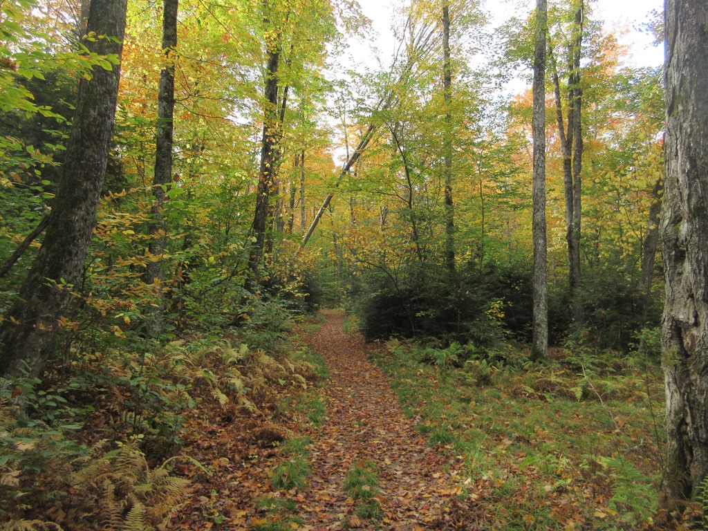
Along the Livermore Trail.

Ascending a sidecut relocated section of the Kettles Path, fine work performed by the Waterville Valley Athletic & Improvement Association.

Geology professor Thom Davis checks out one of the three deep depressions known as "kettles," reputedly of glacial origin, along the Kettles Path.


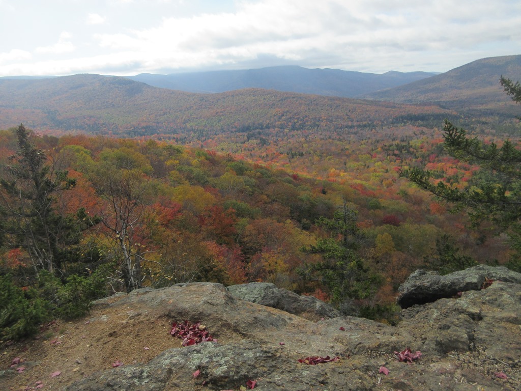
We took a long break at the fine ledgy viewpoint known as The Scaur.

Thom surveys the scene from a lofty perch.

Foliage below The Scaur.

The sun began breaking through, opening up the views. It soon turned into a gorgeous sunny, mild October day.
Group photo taken by Gary Tompkins on The Scaur. Left to right: Roger Doucette, Candace Morrison, Mary Ann McGarry, Steve Smith, Thom Davis, Dennis Lynch, and Gary Tompkins.

Looking towards Thornton Gap.

Next up was Irene's Path, a great new trail opened in 2014 to replace the washed-out Flume Brook Trail.

Along Irene's Path.

Prow-like ledge beside the trail.

Nature's sculpture.

Beech color along the ridge.

Fine rock step work crafted by OBP Trailworks. The construction of this trail in very rugged terrain was quite a feat:
https://www.obptrailworks.com/hand-built-trails/irene-s-way/

As the trail descends towards Flume Brook, it passes this unique view towards Mad River Notch.

Mt. Osceola and East Osceola, with the prominent Painted Cliff in the center.

The western knob of Mt. Kancamagus, with the K1 Cliff (in back).

A towering fractured rock wall at the Waterville Flume.

Hanging out at the edge of the Flume.

Flume Brook slides down through the chasm.

Looking back from within the Flume.

The geology prof gives a brief lesson.

Ascending the Old Skidder Trail.

Big rock slab above the Old Skidder Trail.


The wild upper section of Old Skidder Trail. Lots of hobblebush.

On to the Livermore Trail. Having lingered at several locations, we were running late and skipped a planned side trip out to the Flume Brook Camp clearing.

Descending the upper Livermore Trail was pure delight on this golden October day.

Beautiful corridor.

One of the best parts of the hike. North Tripyramid could be glimpsed through the trees.

Taking a break at the Scaur Ridge Trail junction.

Apple tree at the Avalanche Camp clearing, a logging camp used in the 1930s.

Artifacts.

The camp clearing.

Interesting split on this boulder.

Roger and Gary looking serious at White Cascade on Slide Brook, next to the Livermore Trail.

Beautiful pool below White Cascade.

One of a half-dozen cascades along the Cascade Path.

Admiring the water-sculpted ledges along Cascade Brook.

Two towering pines frame the ledges at the top of another waterfall.

Veiled waterfall vista.

Bird's eye view of the lowest cascade.

Lowest cascade from below.

Along the quiet Norway Rapids Trail.

Crossing Slide Brook at the Norway Rapids. This crossing is normally difficult, but the current low water level made it fairly easy.

The lower section of the scenic Norway Rapids. From here we took the Livermore Trail back to the trailhead, concluding a fine fall day in the Watervlle backcountry.