
I hiked up to this ledgy spur of North Kinsman for some fine foliage views and to check on a geocache I'd placed there in 2015.
On the way to the trailhead I made a quick stop at Beaver Pond in Kinsman Notch, a favorite foliage spot, looking across at Mt. Waternomee and Mt. Jim.

Trail closure notice posted at Mt. Kinsman Trail for southern section of Kinsman Ridge Trail, due to the Dilly Cliffs fire.

This old sugarhouse has stood beside the Mount Kinsman Trail for many years.

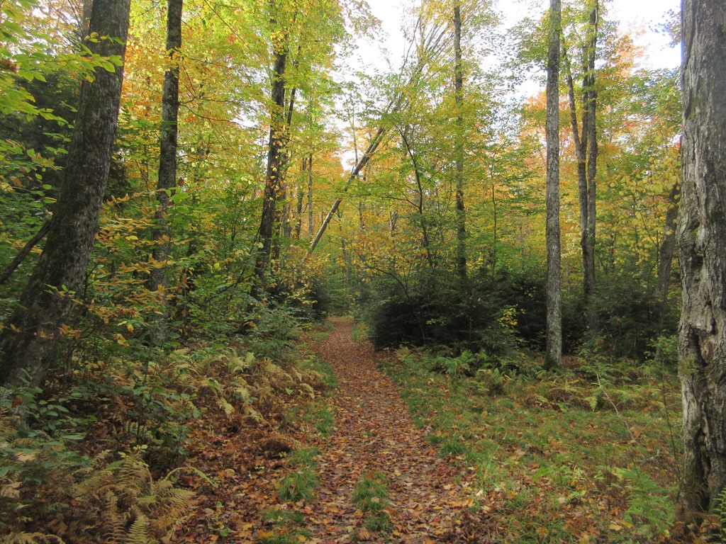
Fine fall walking through the hardwoods.
First stream crossing, near the site of the old Kinsman Shelter.

Mossy Falls Brook.

The Mount Kinsman Trail is in excellent shape due to the dedication of adopter Bruce Richards. Rock steps and other improvements have been made over the last few years by Bruce and his fellow Trailwrights volunteers.

The trail traverses up across the slope through nice yellow birch forest.

A fine rock waterbar, built to last.

Excellent rock work at the last stream crossing, where a side trail leads down to the edge of the Kinsman Flume.

Junction with the Bald Peak spur trail.

Along the spur trail.

Arriving at Bald Peak, no one around.

Looking south to Mt. Moosilauke, Mt. Clough and the Benton Range.

Moosilauke and Clough.

Good color in the Easton Valley, with Cooley Hill and Cole Hill beyond.

After an initial flurry of logs, my geocache hasn't been found in two years, but it's still there.

Looking across to North Kinsman, its slopes speckled with gold.

I took a prolonged break at this spot, and had the place to myself on this midweek day.

On the way home I made the short, steep descent to Mud Pond (tucked into a secluded pocket near Rt. 116) on a well-used herd path.

South Kinsman rises in the distance.

Stashed canoe, but no paddle.


No comments:
Post a Comment