
Saturday, February 6, 2016


DICKEY NOTCH: 2/5/16

Following a light snowfall through lunchtime, I headed out for an afternoon wander. With a 2:00 pm start I couldn't go too far, so I opted for an old favorite: a walk through Dickey Notch between Dickey Mountain and Cone Mountain, then a bushwhack loop back over a spur of Cone Mountain for some windswept vistas. The snow cover was miniscule after Wednesday's rain and warmth, in some places consisting of a half-inch of new snow atop bare ground, so the snowshoes went for a free ride today.

From the Dickey side of the Welch-Dickey Loop Trail, I followed the Brown Ash Swamp Bike Trail into Dickey Notch. Back in the 1930s and 1940s this section of trail was described as the Dickey Notch Trail in the AMC White Mountain Guide, but after World War II it slid into oblivion. The floor of Dickey Notch holds a chain of small beaver ponds, with a rocky knob - the northeastern spur of Cone Mountain that I would climb - presiding above.


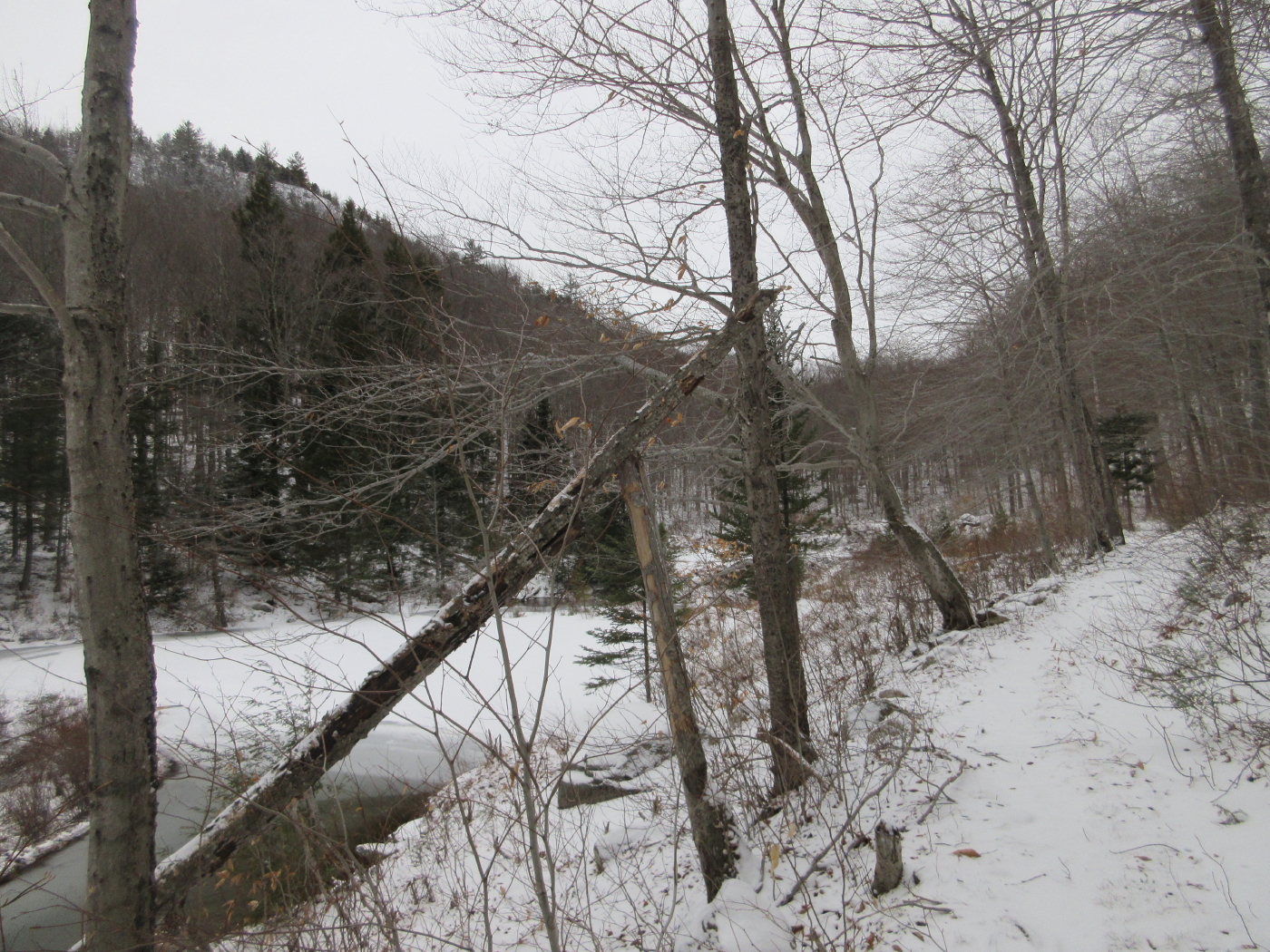
This is a scenic stretch of trail.


An example of beaver clear-cutting.


A beaver lodge with a dam beyond.


Looking back down the chain of ponds.


A stately stand of hardwood in the heart of the notch.


Boulders along the trail.


This stand includes some tall specimens of white ash.


A big yellow birch along the bushwhack route.


Cone Mountain through the trees. The beech in the center is a good bear tree.


Approaching the long saddle that joins Cone with its northeastern spur.


A frozen mini-pond on the saddle.


The semi-open summit of the northeastern spur. Lots of lichen up here, I tried to step carefully.


A strong NW wind was clearing the skies.  This view looks towards Mounts Kineo and Cushman.


Mount Moosilauke beyond the fields of the Mill Brook valley.


Mounts Flume and Liberty emerged from the clouds, while Lincoln and Lafayette remained smothered in grey.


Peering north to spurs of Mount Tecumseh: Bald Mountain, West Tecumseh, ledgy Fisher Mountain, SW Green, and Green Mountain. The wind was fierce at this viewspot.


Zoom on Fisher and the Green peaks.


Dickey Notch and the Black Mountain ridge of Sandwich Dome.

The two Black Mountains, with the summit of Sandwich Dome just visible on the L.


The west face of Dickey Mountain, seen across the notch.


Looking up at Cone Mountain and its north-facing ledges.


Big twin oaks on the saddle.


Starting the descent in late afternoon.


Wednesday, February 3, 2016


HOGBACK MOUNTAIN: 2/2/16

It was a fine sunny and comfortable day for a snowshoe bushwhack with Mark Klim to Hogback Mountain, a wild, ledgy SW spur of Mount Tecumseh. We saw lots of interesting stuff in the woods and enjoyed great views at the top.

Early in our bushwhack we came across what we thought might be bobcat tracks.


And there were many deer tracks as we meandered through an extensive hardwood forest.


Wild Turkeys had also moved through the area.


We stopped to admire this great old bear tree.


Bracket fungus adorned the lower trunk of this old giant. 


 Woodpeckers have been working diligently on this weathered trunk.


Mark leads across the first of two small brooks we crossed during a long traverse across the slopes of Fisher Mountain.


This was one of the biggest burls we've ever seen.


This looked like a "bear's nest" in the top of a tall beech.


Open hardwoods were the rule for much of the bushwhack. The snow was shallow and crunchy but actually provided some decent 'shoeing.

Our route led us up through a portal of sorts past this interesting boulder.


This looked like coyote tracks and scat, at an elevation of about 2400 ft.


An unusual rock formation on the flank of Hogback Mountain.


After one false start that dead-ended in impassable rocky terrain, we found a good route up onto the ledges of the northern summit of Hogback (2754 ft.).


We made our way out to a spectacular west-facing perch, where we could look over nearby Fisher Mountain to many distant ridges.


Mark takes in the views to the Carr-Kineo-Cushman region, with the fields of Mill Brook valley visible on the left.


A great spot to relax in the sun for lunch.


A stellar view of Mount Moosilauke, wearing a small cloud-cap and displaying the ice cliffs on the Jobildunk Ravine headwall.


A happy bushwhacker.


We made our way to a secluded north-facing ledge. Here we could study the long SW ridge of Mount Tecumseh rising above the Haselton Brook valley, a wild and trailless area. This region, now largely forgotten, was extensively described in Moses Sweetser's comprehensive 1876 guidebook to the Whites. Sweetser personally ascended Mount Tecumseh (whose pointy summit is seen at the top right corner) by two routes from this area and reconnoitered a third. "The Hogback" he described as "a massive pile of white rocks fringed with trees."


The view also takes in the SW spur of Green Mountain (L) and Foss Peak (R). This scrubby, ledgy area was apparently burned in a large forest fire around 1820.


 The view to the northwest.

 
The ledgy lower ridge of Tecumseh's Bald Mountain.


The Kinsmans, the Cannon Balls and Cannon Mountain.


The snow was deeper in the scrub on this north-facing slope.


Sandwich Dome and a shadowed Jennings Peak.


This is the wild side of Tecumseh.


Next we whacked across a broad scruffy saddle to the open ledges of Hogback's southern summit (2770 ft.).


From here we could see the dark side of Dickey Mountain.


King of the hill!


A different perspective on the Tecumseh ridges.


Looking over Fisher Mountain's broad dome.


A nice expanse of ledge hidden away from civilization.


A last look before heading down.


Weaving through the spruces on the flat saddle.


Descending through open glades.


Afternoon shadows in the hardwoods. It was an excellent bushwhacking journey.