
On still another hot, humid day, pushing 90 degrees in the valleys with a dew point around 70, I took a long walk into the beautiful valley of Sabbaday Brook. Once well into this secluded basin, I bushwhacked to two slides - one old and one recent - for unusual views of the enclosing mountains.
Thanks to low water flow, the three big crossings of Sabbaday Brook along the Sabbaday Brook Trail were about as routine as they get, though I still wouldn't call them easy.

Into the Wilderness at 1.3 miles.

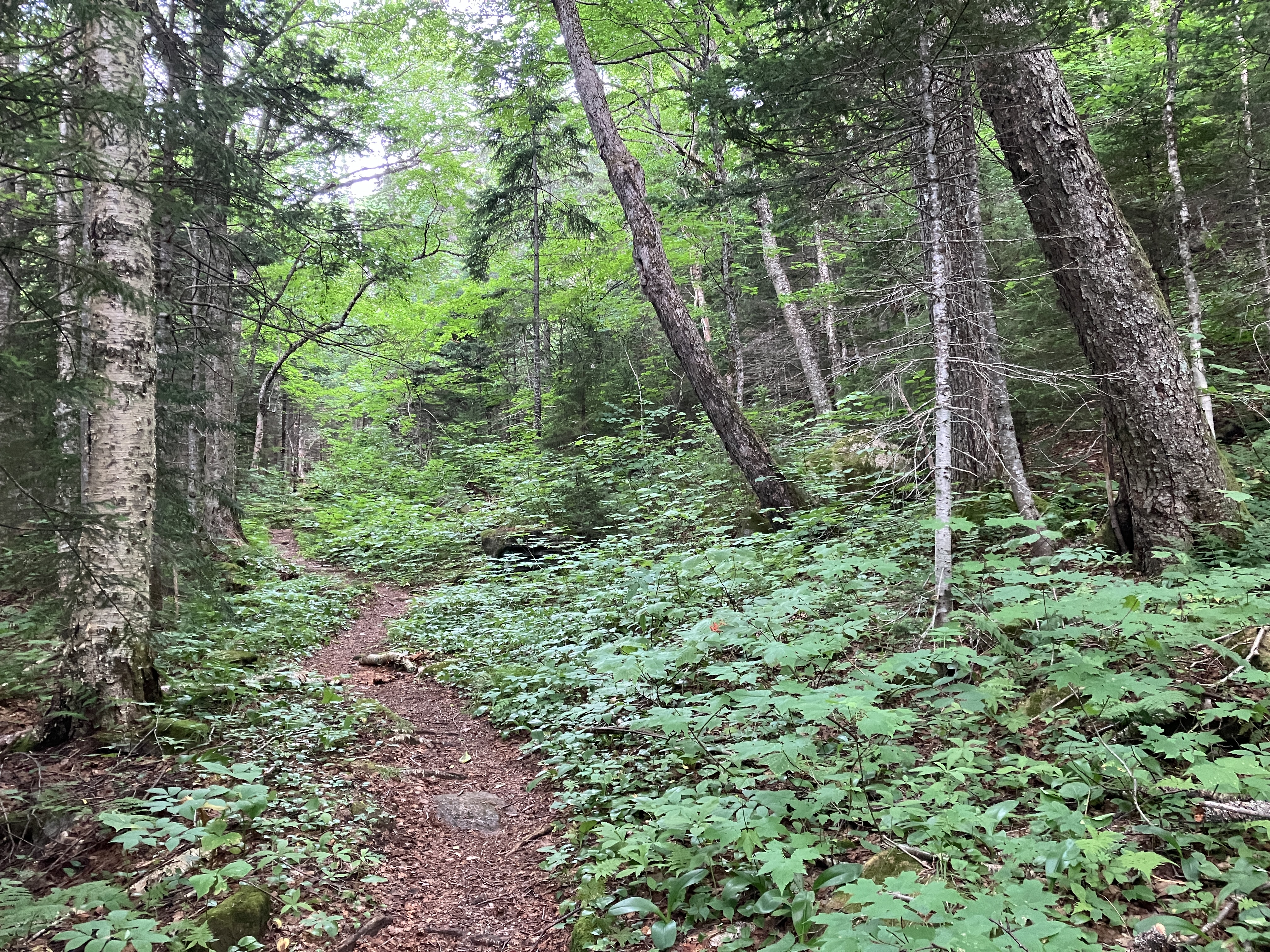
Good footing prevails on most of the 1.5 miles of trail that follows a century-old tote road up the east side of the valley.

Sled runners beside the trail near the site of the Monahan Camp, a logging camp used by the Conway Lumber Company's Swift River Railroad (1906-1916).

The trail meanders through a beautiful hardwood glade as it enters the "inner sanctum" of the valley after the fourth crossing of Sabbaday Brook.

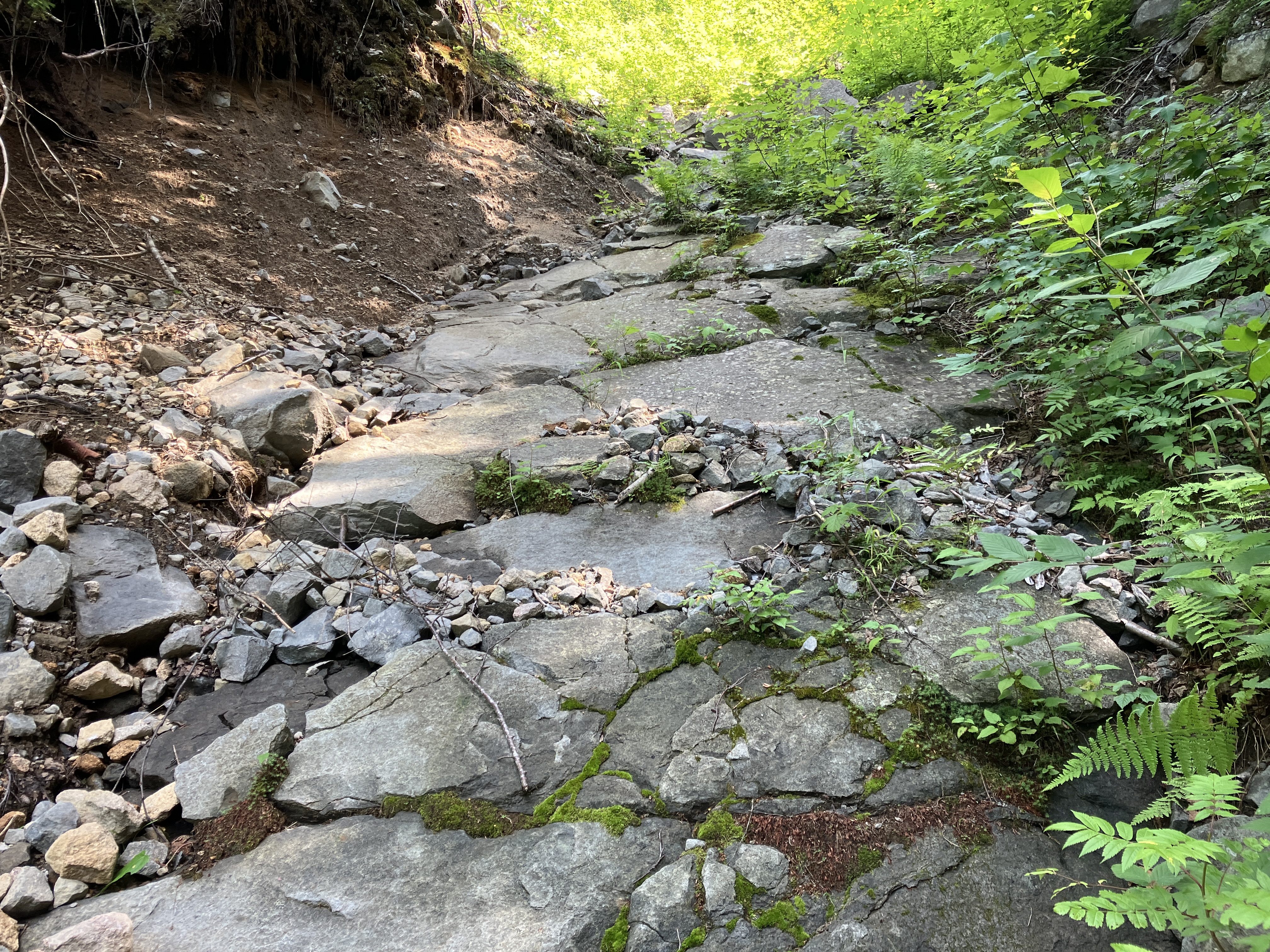
Erosion that might be attributed to the epic December 2023 rainstorm.

Artifacts near the site of another logging camp, farther up the valley. As always, note that these are protected by law and should not be removed.

Another artifact, this one exposed by the recent flooding.

Picturesque scene along Sabbaday Brook.

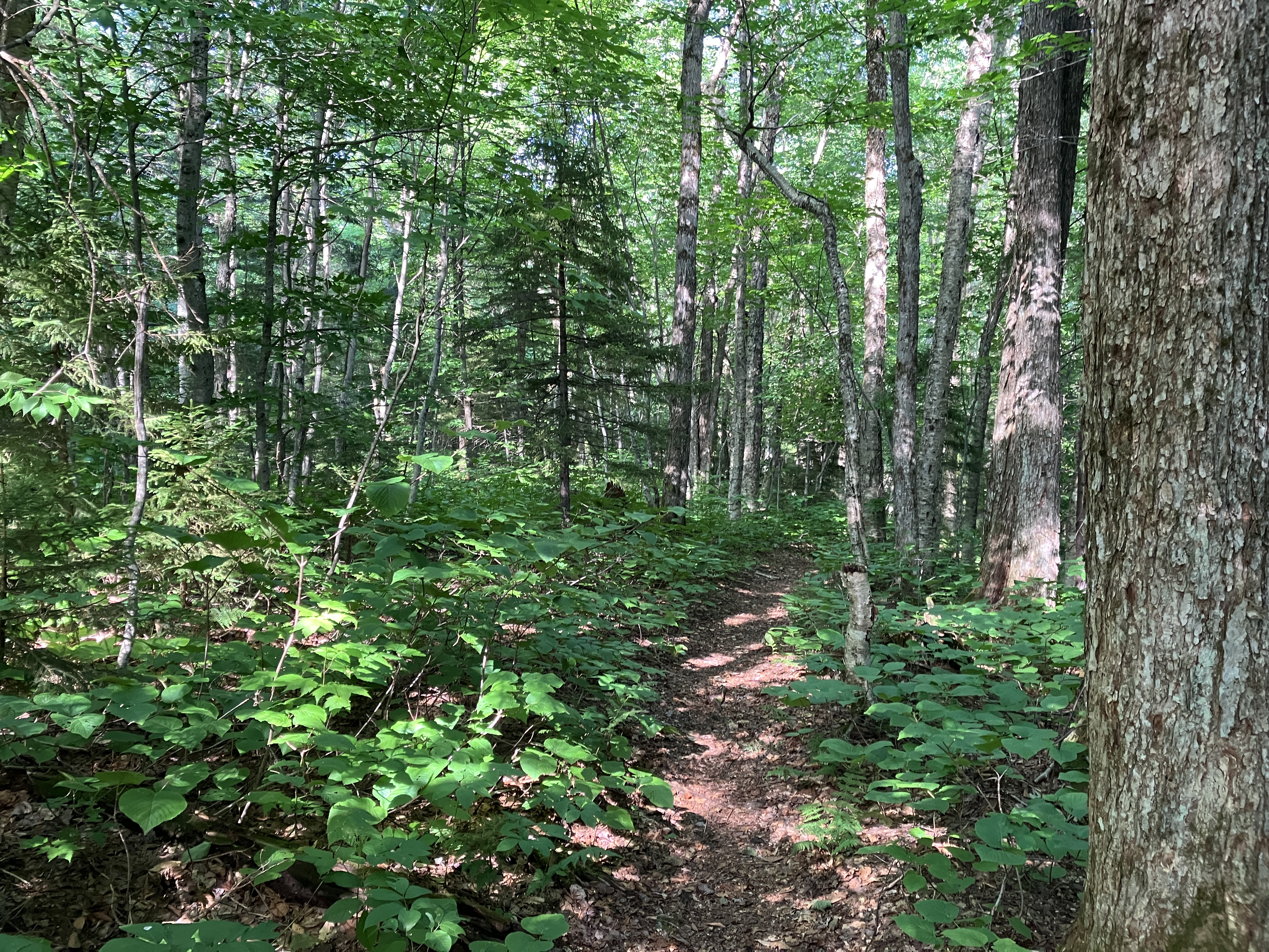
Sabbaday Brook Trail, deep in the valley.
A mossy reach of the brook.

Shinleaf in bloom beside the trail. I'm guessing it's the species Pyrola elliptica.

About four miles up the valley I launched a bushwhack to the northern of two old slides on the steep SW slope of The Fool Killer, a prominent spur peak of Mount Tripyramid. Though this slide is mostly revegetated, several open patches remain on its upper reaches. Not far up I passed through this luxuriant birch and hardwood glade.

The woods soon transitioned to prickly conifers. In places I climbed directly up the track of the slide.

Slide debris settled in place and blanketed in moss.

The first of two steep, smooth slabs well up on the old slide. The slope here is about 32 degrees. I bypassed these in the woods.

The second ledge slab. It's uncertain when this slide fell, but two prongs of it were largely open in a 1956 aerial photo.

A look up at South and Middle Tripyramid from the upper end of the second slab.

I continued up to a gravelly open patch near the top of the old slide (3200 ft.), with a clearer view of the looming mass of Tripyramid.. I had visited this spot four years ago and thought it was worth a return visit. The long strip of dark spruce in the center marks the track of the older of the two revegetated slides on the east slope of Tripyramid. Until a relocation was made in the 1980s, the Sabbaday Brook Trail followed this slide track from bottom to top. The current trail route still uses the uppermost section of the old slide.

The rounded summit of West Sleeper is seen on the left. I took a nice leisurely lunch break in the sun here.

Typical steep descent alongside a slide.

I cut over to this patch of ledge...

..for a different perspective, with more of the crest of North Tripyramid visible to the right of Middle Peak.

On the lower part of the descent I angled over to a gorgeous hardwood glade I had traversed on my previous visit.

Since it was early in the afternoon, I decided to pay a visit to another slide, a small narrow cut on the NW side of West Sleeper, which I had climbed five years ago. I descended a half-mile along Sabbaday Brook Trail, then ascended SW up a tributary valley.

When the valley closed in a bit, I clambered up the rocks of the bone-dry tributary.

Red elderberry along a track scoured out by the slide.

The cut of this narrow slide is visible in older aerial photos, but it was "refreshed" and opened anew during Tropical Storm Irene in 2011.

The footing was a bit sketchy on this 33-degree pitch.

Ledges bared by the slide.
From the upper end of the slide, the flat-topped Fool Killer actually looks like a sharp peak.

Top of the slide.

Here there is a unique view up to the headwall of the Sabbaday Brook valley, between Tripyramid on the left and The Fool Killer on the right. Dark conifer stripes mark the tracks of three old slides: two on the Fool Killer (including the one climbed earlier in the day) and one on Tripyramid.

Like the huge 2011 slide on the other (NE) side of West Sleeper, this slide is being revegetated primarily by yellow birch saplings.

Peering up to the high crest of South and Middle Tripyramid.

Both times I've climbed this slide I've deemed it too treacherous to descend. On the previous visit I went down through the woods alongside the slide, which weren't much better as there were numerous rocks and holes on the steep slope. This time I followed the ghost of an old sled road some distance to the NE before dropping down the slope.

This slope was infested with hobblebush, but it was better than the dangerous hidden holes near the slide.

I came down to Sabbaday Brook at a point where the bed was dry and the water was apparently running underground.

The water reappeared a bit farther down the valley.

Late afternoon sun dappling the trail.
Spotted this on the back of the Wilderness boundary sign.

Since I had the time, I made the loop down past Sabbaday Falls and its gorge. The two couples I saw here were the only people I saw all day. I got back to the car a bit less than an hour before predicted thunderstorms rolled through.


No comments:
Post a Comment