
The December 18th rainstorm was certainly one of the most impactful in recent decades. Here's hoping those affected by it are on the road to recovery. This photo shows the East Branch of the Pemigewasset as seen from the Loon Mountain bridge around noontime, shortly before its peak flow was reached. Waves were washing over a huge midstream boulder, as seen in lower center of the photo.

The East Branch peaked at 22,600 cubic feet per second (cfs), which I believe was just slightly higher than the peak of the 2017 Halloween storm, but still below the 30,000 cfs recorded during Tropical Storm Irene in 2011. Normal flow for this time of year might typically be 200 or 300 cfs.

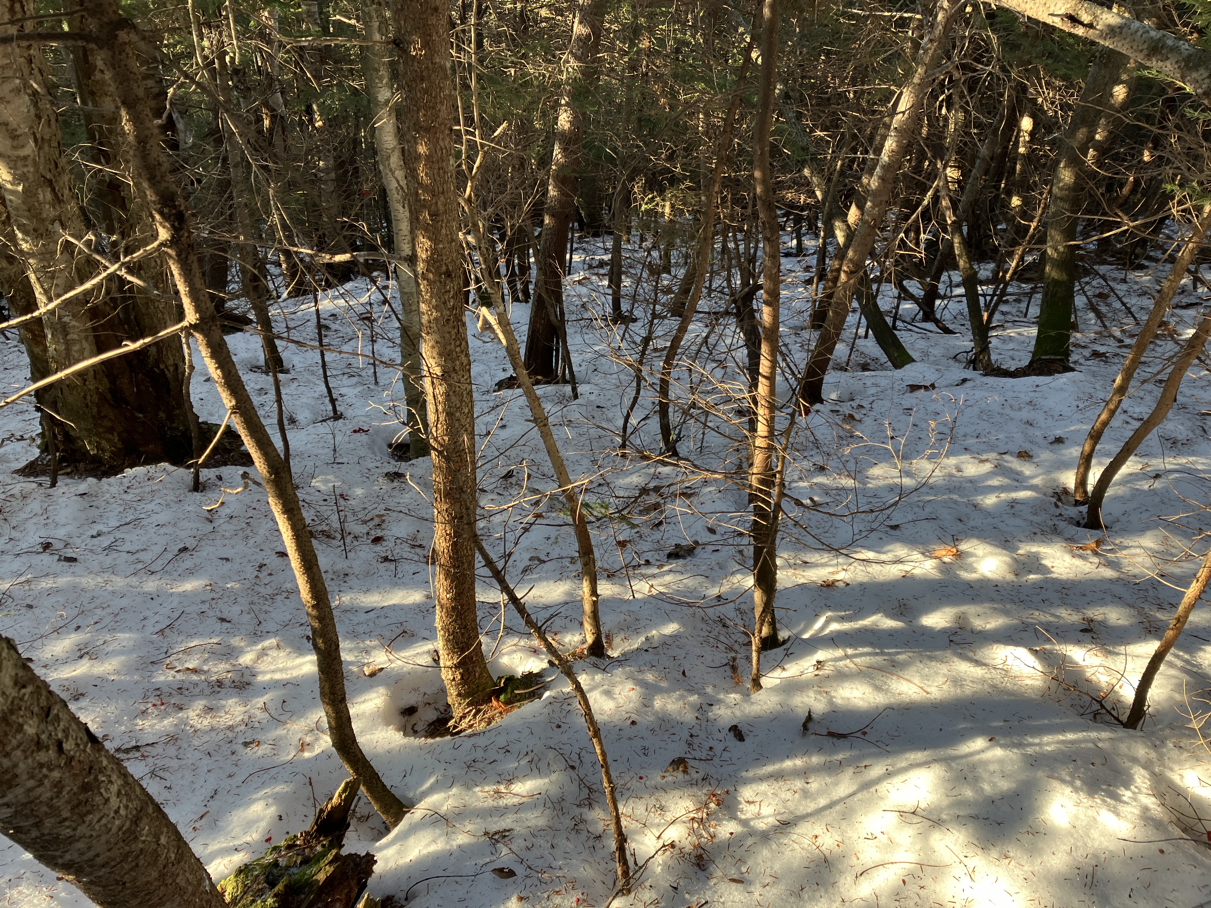
The next morning, December 19th, Carol and I took a walk on the Lincoln Woods Trail to check for damage. The East Branch was still ripping as seen from the suspension footbridge. The flow at this point was about 4,000 cfs.

The Lincoln Woods Trail was reportedly "a sheet of ice" before the storm. The warmth and rain
disposed of that, and the trail was 98% ice-free in its first two miles.

There did not appear to be major new erosion at the fenced washout 0.7 mile up the trail. The bank probably did get eaten into a bit more. This is scheduled for repair by the Forest Service in the next year or two.

Osseo Brook, the tributary that drains the valley followed by the Osseo Trail, was running strong. Along our walk we ran into two solo hikers who had turned back at their respective first stream crossings - one had hoped to go to Bondcliff, the other to Thirteen Falls. Not this day.

The first few yards of the Osseo Trail was underwater.

At mile 1.7/1.8, where the trail runs close to the river, the storm surge had washed over the trail.

A pretty good washout here.

High water view of Bondcliff and its sharp south spur upstream.

On December 20th I headed down to Waterville Valley to take a walk on the Livermore Trail and check out the post-storm scene out towards Mount Tripyramid. Due to a road washout, there was no vehicle access to the Livermore trailhead parking area, so I parked at the Snows Mountain lot and walked West Branch Road and the Connector and Greeley Path XC Ski Trails to the Depot Camp clearing on Livermore Trail. This added 1 1/2 miles round trip to the hike. The damage to the Connector trail was extensive where it runs alongside the Mad River.

Whoa!

One of the things I wanted to check on was the first 100-yard section of my adopted Kettles Path, which routinely floods during high water, when a vagrant stream takes over the footbed. Today was no exception. I'm hoping we can do a relocation of this section next year.

There was moderate erosion in a few spots along the Livermore Trail, such as this section where it ascends alongside a field.

After a few icy spots down low, the mostly smooth Livermore Trail was dry and 100% ice and snow free as far as I followed it. I find it a good choice for a long woods walk when the steep, rocky trails are in tough shape as they are during this renewed shoulder season.

An erosion channel by the junction with Upper Snows Mountain X-C Trail.

Slide Brook was surging at White Cascade.

The storm caused a significant rearrangement of the Avalanche Brook crossing at the south end of Mount Tripyramid Trail. In recent years the crossing has been wide, shallow and stony. Now the west side of the crossing is a new bar of gravel and stone. The brook channel is half as wide as it was but deeper. No way to cross here today without wading.

En route to looking for a possible alternate crossing to access some hardwood bushwhacking in the Cold Brook valley, I passed by an artifact from the first of two Avalanche Camps used to log the western slopes of Tripyramid in the early 1900s.

A beautiful hardwood flat on the floor of the valley.

I probably could have navigated a crossing here, but I might have ended up with wet feet due to ice-coated rocks.

So I retreated to Livermore Trail and continued upward, passing more storm erosion.

This washout was gouged by the storm at the end of April. It may have been enhanced by the recent storm.

I must say that this bare-ground stroll through the sun-washed hardwoods was quite enjoyable, reminiscent of late October/November tramping. Just five days earlier I had been snowshoeing through here.

At the junction with the north end of the Mount Tripyramid Trail, I decided to reprise my favorite bushwhack route into Avalanche Ravine, following the old logging road along the north side of Avalanche Brook. The first part of the old roadbed was mostly melted out, revealing a not-so-historic artifact.

Five days earlier I had been snowshoeing through nearly a foot in this gorgeous hardwood glade.

Farther up the ravine, a layer of crunchy snow remained in this "inner sanctum" glade.

Avalanche Brook was easy to cross here.

At the base of the East Fork of Tripyramid's North Slide, a stream was cascading down the ledges into a cold pool.

It was a crystal-clear day and I wanted a view, so I decided to make the steep 450-ft. bushwhack climb to the first area of open ledge on the East Fork. The crunchy snow provided good traction for my boots.

This mossy slope was once an open part of the East Fork, which was as massive as the main part of the North Slide when it fell in 1885.

This photo of the North Slide shows the extent of the East Fork, on the left. It was taken from the south slope of Scaur Peak (aka the "Fourth Pyramid") and accompanied an article, “Geology of Tripyramid Mountain,” by L.V. Pirsson and Wm. North Rice that appeared in The American Journal of Science in 1911.

When I reached the open area, I found hard crusty snow. Time to put on the spikes.

Nice view up here of Mount Tecumseh, Mount Moosilauke and the Osceolas, with parts of Scaur Ridge in the foreground. The rounded top of Flume Peak is seen under Mount Osceola.

Zoom on the Osceolas, with the Kinsmans just peeking over on the right.

A good-sized solitary white pine was thriving up here among the spruces at 3240 ft.

I found a flat spot to sit and enjoy a late lunch with a view.

Steep terrain up here, probably a pitch of about 34 degrees.

Heading back down to the floor of the ravine.
Though these were distorted by melting, I kept my string of bear track sightings going.

Partway down I popped out for a look at the open, flowing strip of the slide.

Back down at the base of the East Fork, I spotted a half-moon just above the sunlit slope of North Tripyramid.

There it is!

The top of the North Slide was looking bony.

Late day sun in the hardwoods.

Homeward bound on Livermore Trail. Thanks to the half-moon I never had to pull out the headlamp.


No comments:
Post a Comment