
On a gray, foggy day when views would be minimal, I headed back to the western slopes of Tripyramid for some off-trail snowshoeing in the new powder we were blessed with over the last week. My plan was to bushwhack into the basin of Cold Brook, a secluded enclave enclosed by spur ridges of North and South Tripyramid, with Middle Tripyramid at its head. My destination was a small meadow in the forest marking the point where the two forks of Cold Brook meet on a tiny plateau. A shadow highlights the ravine in this photo taken from Mt. Tecumseh. I had made this same trek at the end of May last year on a 90-degree day. The experience was a tad different in January.

Carol and I set off from a very busy Livermore trailhead late in the morning. She joined me for the first mile, and headed back after we paid a visit to the Swazeytown logging camp site.

A rusted bed frame poking out of the snow.

I assume this pipe was part of a water system, though Slide Brook is downhill from the site.

Last week Livermore Trail was covered with just a slight dusting of snow. Looking more like winter now.

Obligatory stop at White Cascade (the upper part is seen here) on Slide Brook.

After wading across the shallow, stony crossing of Avalanche Brook, I entered a portal into the Sandwich Range Wilderness. The snowshoeing was so-so on a track chewed up by bare boots.

Slide Brook in its winter guise.

Delicate ice art.

Christmas tree corridor.

Before reaching the crossing of Cold Brook, I headed off-trail into open hardwoods through ~8 inches of dense powder, making for excellent snowshoeing. This was the first journey for a new pair of MSR Evo Ascents.

A wide old logging road, vintage 1940s, parallels Cold Brook.

Snowy scene along Cold Brook.

Mossy waterslide.

A picturesque stream that for some reason is not shown on the 7 1/2 minute USGS Mount Tripyramid quad, and thus is also absent from some hiking trail maps.

Knotted.

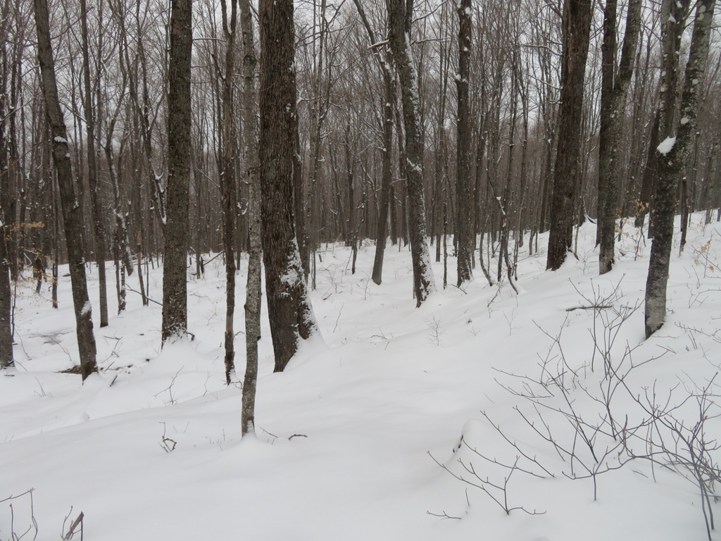
Wonderful open hardwoods.

Catskill-like maple glades.
Small conifers huddling on an old logging road that runs across the slope.

At 2700 ft., spruces begin mixing with the hardwoods, giving the forest a park-like appearance.

Making tracks.

A snowshoe hare was doing the same.

Typical woods at 2850 ft.

Descending to the meadow, as a spur ridge of South Tripyramid looms above.

At the upper end of the meadow, the north fork of Cold Brook descends off the slopes of North Tripyramid.

There was a good foot of powder in this small opening.


This upper basin is enclosed by steep ridges on three sides - an inner sanctum of the mountain. To the east is the crest of Middle Tripyramid.

To the north is a steep SW spur of North Tripyramid.

To the south is the west ridge of South Tripyramid.

I took a slightly different route on the upper part of the descent, encountering some hobblebush tangles.

Happy to get back down to the open hardwoods and snowshoe nirvana.


Happy New Year!

No comments:
Post a Comment