With
a late morning start, explored close to home with two bushwhacks off
the Tunnel Brook Trail. First to a ledge with a unique view of
Moosilauke's big Tunnel (Benton) Ravine, then a scramble up onto the
northernmost of the eight slides on Mt. Clough.
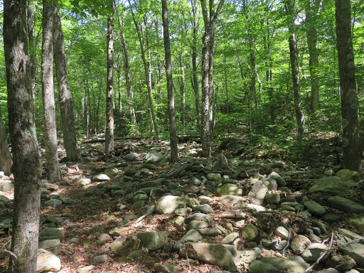
Flood outwash from the brook that drains Tunnel Ravine, a combination of Tropical Storm Irene in 2011 and the Halloween sttorm in 2017.
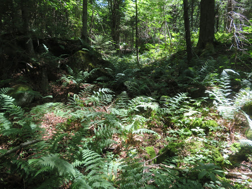
Ferny woods.
A big ledge hidden in the forest.
This appeared to be the remnant of a logging sled road from the early 1900s.
As usual, the woods thickened when approaching the ledge.
I first visited this needle-in-a-haystack ledge with John "1 Happy Hiker" Compton on a November day in 2014.
The perch offers a marvelous vista up the curving valley to the headwall of Tunnel Ravine.
Zoom on the headwall.
Three slide tracks converge at the base of the headwall. On the right is the massive Irene slide.
The ledge also provides a good view of the northern slides on Mt. Clough.
Later in the day I would visit the farthest right slide
Leaving the ledge after a snooze in the sun.
The brook that drains Tunnel Ravine.
Beautiful hardwood glade.
One of several gravelly deposits at the base of the northern Clough slide.
Open slope.
Beautiful
exposure of metamorphic bedrock of the Littleton Formation, showing
glacial polish and striae (per geologist Thom Davis).
Hazy view to the north.
Sloping slabs, grippy when dry but beware when wet.
Southern section of the northern slide. From the ledge earlier in the day these slabs looked impossibly steep.
They are steep enough, in places!
South Peak of Moosilauke.
Meadowsweet, a common slide bloomer.


No comments:
Post a Comment