
Firm snow conditions were ideal for a bushwhack to the 1938-vintage slide on the east flank of Mount Passaconaway.
The
East Slide shows as a white slash in this view from Mt. Chocorua. The
thin strip to its right marks the track of an older slide that is mostly
revegetated.

White frosting on Oliverian Brook.

A place with many interesting nooks and crannies.

From the Passaconaway Cutoff I bushwhacked to a familiar beaver pond/bog for a look at my objective. The upper part of the slide is the bright white patch on the left.

Profile of Square Ledge.

I skirted around the edge of the wetland on hard-frozen snow.

Beaver sign from years gone by.

Fresh moose sign.

I visited the site of a Swift River Railroad (1906-1916) logging camp that I had stumbled upon earlier this winter.

Embedded sled runner.

This brook was the camp's water source.

Many boulders are scattered through the forest.

The long bushwhack up the slope was mostly through hardwood forest. These sugar maples stood tall.

Wandering at will on the solid snowpack.

Into the conifers.

I knew I would have to get across this gully - the lower track of the older slide - to reach the 1938 slide. It required a steep scramble up the bank on the south side.

Wild woods on a little ridge between the two slide tracks.

Double-decker.
A random mini-birch glade.

Onto the lower of two open sections on the 1938 slide.

This slide came crashing down during the 1938 hurricane, wiping out parts of the Passaconaway Cutoff far down the valley. That trail was subsequently closed, and was not reopened until 1965.

Looking east to Square Ledge, Mt. Paugus and Mt. Chocorua.

Making tracks up the brushy section between the two open parts of the slide.

Looking up at the upper open section.

It's steep enough. In his 1958 dissertation, "Landslides and Their Revegetation in the White Mountains of New Hampshire," Edward Flaccus measured an average slope of 33 degrees and a maximum slope of 45 degrees, a length of 400 yards for the slide proper and 1,190 yards including the runout, an average width of 40 yards, and an area of 3.3 acres, with 17,279 tons of debris moved.

Up on the west edge, I stomped out a seat in the snow and took in the sweeping view across the Albany Intervale to Bear Mountain, the Moats and Chocorua.

Peering down at the beaver pond I had visited earlier in the day.

Mt. Washington was engulfed in cloud, but the Southern Presidentials were visible beyond Mt. Tremont.

Balsam fir and red spruce are among the "pioneer trees" eking out a living on the slide.

Sweeping mountainscape.

Descending the lower part of the slide.

Square Ledge and Mt. Paugus.

The Sisters and Chocorua.

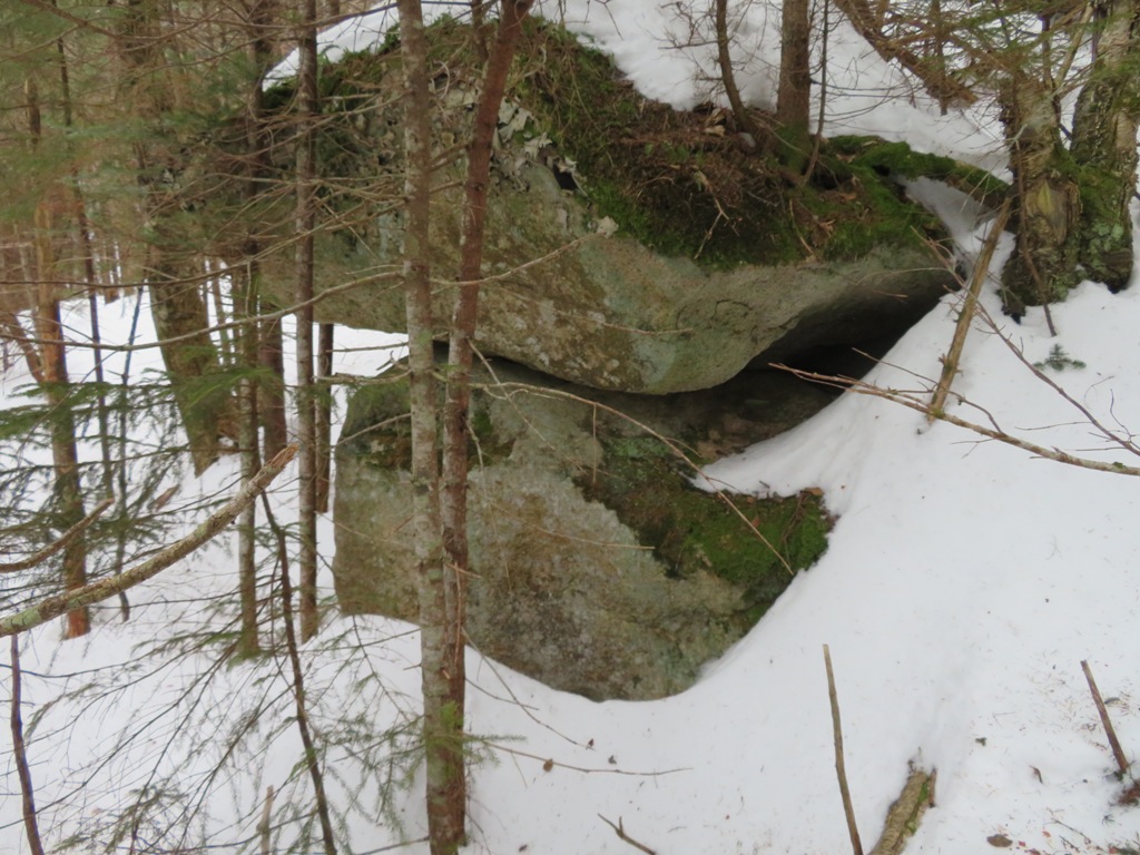
Boulder cave in the woods between the slide tracks.

I dropped into the track of the older slide...

...and followed it down for a ways. In summer this would be a deep, dark and spooky place.

Looking gnarly below, time to take to the woods.

Rugged terrain on the steep flank of Passaconaway.

It was a joy to swoop and whoop back down through the open hardwoods.

I wondered if this open shelf might be a fern glade in summer.

Chunks of stone take many forms.

The last pool of open water in the beaver pond.

Looking back to Passaconaway and Nanamocomuck Peak, which has its own slide from the 1938 hurricane - seen along the Square Ledge Trail.


No comments:
Post a Comment