Sunday, April 27, 2025

Saco River Trail: 4/24/25

On a very warm spring afternoon Carol and I headed over to Crawford Notch State Park for some easy walking along trails on the floor of the notch. Along the way we made the obligatory stop for the classic view of the Mount Washington Hotel and the Presidentials.


We parked at the Willey House site and looked across at the location of the notorious 1826 Willey Slide.


The seasonal Willey Pond had not yet been dammed up, but the view of the Webster Cliffs was as good as ever looking across the flowing Saco River.


A sign at the start of the Sam Willey Trail gives you the rundown.


Heading onto the gentle Sam Willey Trail.


Near the start the Sam Willey Trail crosses the gravelly and rubbly outwash from the slide in Landslide Gully, which was reactivated by the big rainstorm in December 2023.


A short spur path opens a beautiful view downstream along the Saco River.


One of the smoothest trails in the White Mountains.


The western side of the short loop on the south end of Sam Willey Trail passes this beautiful wetland view of the notch.


A serene section of the Saco.


On to the Saco River Trail, which makes a 2.4 mile traverse along the floor of the notch to the Dry River Trail.


More views of the river.


A trailside bear tree.


Where the trail turns right at a boulder, there appeared to be fairly fresh landslide deposits up to the left.


I climbed up a little way to investigate. It appeared that the narrow slide track in Shoestring Gully had been reactivated, perhaps by the same December 2023 storm that flushed out Landslide Gully.


Farther along the trail passes by a scenic wetland.


A nice view of Mount Willey.


Enjoying the spring sunshine.


Where the Saco River Trail meets the Webster Cliff Trail/AT, Carol turned back and generously agreed to pick me up at the Dry River trailhead so I could complete the traverse.


After climbing 0.1 mile along Webster Cliff Trail, the Saco River Trail descends through wild coniferous woods to the floor of the valley and then leads through an area of rock rubble to a crossing of Webster Brook.


Though this brook can sometimes be dry in late summer, the crossing was a little awkward this day.


Looking up Webster Brook towards the south end of Mt. Webster.


The rest of the Saco River Trail passes through a predominantly hardwood forest, but along the way it weaves through this attractive glade of hemlocks.


Farther along it skirts a large beaver wetland. A short bushwhack through open woods revealed this view of lower spurs of Montalban Ridge.


A beautiful open hardwood glade here.


A profile of Frankenstein Cliff through the trees.


As it approaches the Dry River Trail, the Saco River Trail passes through an area of old growth hardwood that was identified by ecologist Tom Wessels a few years ago. From the junction there was an easy half-mile exit on Dry River Trail to Route 302.


On the way home I made the short climb to the observation platform above the Willey House site for a good look at the fresh scar in Landslide Gully.


Friday, April 25, 2025

Deep Into Tripyramid: 4/23/25

On a glorious sunny spring day I teamed up again with Waterville sage Daniel Newton for a bushwhack probe to the inner recesses of Mount Tripyramid's broad western slopes. We ventured into the ravine of Cold Brook to a secluded enclave where the two forks of the stream join, and followed that with a bit of gnarly whacking to a hidden cliff we call the "Tripyramid Wall." It was a great day to be wandering in these quiet, remote woods.
 
There were still extensive stretches of hardpacked snow and ice in shady areas along the first mile of Livermore Trail.   Beyond there the trail was snow-free.


The upper section of White Cascade on Slide Brook was surging.


Daniel checks out the lower drop of White Cascade.


A few years ago Daniel discovered this old (1940s?) metal USFS sign, presumably with a mileage on it. It is now almost completely swallowed by its host tree.


This detached piece of water piping may be a relic from one of the two logging camps along Avalanche Brook, each known as Avalanche Camp in turn. The first Avalanche Camp, used in the early 1900s, was located near the confluence of Avalanche Brook and Slide Brook. We have not been able to determine its exact location. The second Avalanche Camp, used during the 1930s/1940s, is a clearing a half-mile farther up the trail.


This bucket is an artifact from the first Avalanche Camp.


We unearthed, and then re-buried, what appeared be an unusual design for a stove door.


This might be a clue as to the age and origin of the stove.


Avalanche Brook, where we crossed it.


Daniel takes a panorama of a giant sugar maple, maybe one of the largest in Waterville Valley.


It's a big one!


We followed the south end of Mount Tripyramid Trail for a while, then bushwhacked up the slope to the north of Cold Brook, passing this many-tentacled yellow birch.


Following an old logging road, we came upon an artifact that probably dates to the 1940s or 1950s, when there was extensive logging on the west slopes of Tripyramid.


This logging road remains remarkably open.


A tenacious tree.


An elbow tree.


Another artifact - some kind of coupling piece?


Daniel calls this the "Perseverance Tree."


The Trout Lilies are coming!


One of my favorite sugar maple glades.


We continued up the slope as conifers began to take over from the hardwoods.


We were pleasantly surprised that the slope was almost entirely snow-free until we reached the little 2800-ft. plateau where the forks of Cold Brook diverge. Here is the heart of the mountain, surrounded by the high crests of all three Tripyramids. Because this enclave is shadowed in winter, as seen from Mount Tecumseh, Daniel has dubbed it the "heart of darkness." I have experienced that firsthand on two January visits, when sun is in short supply here.  On this bright spring day, though, the sun was beaming down. A shoulder of South Tripyramid rises above.


Up here Cold Brook meanders through a small mountain meadow. Today, this part of the stream was bone dry. In his early 1900s Waterville guidebook, Arthur L. Goodrich noted that "when not flooded, [Cold Brook} flows for a considerable distance underground." Though this is a good-sized brook down below, for some reason it is not shown on the USGS Mount Tripyramid quad.


There was plenty of rotten spring snow lurking on this little plateau.


A peek up towards North Tripyramid from the southern side of the plateau.


Posthole potential here.


We worked our way a short distance up the dry brookbed to the fork. The north fork, coming down off the slope of North Tripyramid, remained dry as far as we could see up it.


It was soon smothered in a welter of blowdowns.


The south fork, which flows off South Tripyramid, had a decent flow of water and was more inviting to ascend.


Daniel picks his way up along the south fork.


Mossy rocks. We wondered if this drainage might be a feasible bushwhack route to the ridge.


We returned to the meadow for a long break, soaking up the spring sun.


A stark paper birch against a bluebird sky.


Parting shot as we leave the meadow.


Daniel checks out an old yellow birch as we drop back down the slope.


Another pass through the gorgeous sugar maple glade.


We descended a few hundred feet to cross Cold Brook, avoiding deep snow on the north-facing bank.


Then we headed SE up the slope on the other side, through more snow-free open hardwoods.


At the top of the hardwoods we entered dense conifer forest in rough terrain.


I wanted to bring Daniel to the base of the Tripyramid Wall, where it rises impressively above you. I had been there a couple of times in recent years. But I mis-navigated a bit and we ended up atop the wall! Which was OK, as I often wondered if there would be a view at the top.


Turns out, not much of a view. A peek across at a spur ridge of West Sleeper.


And a glimpse of Jennings Peak.


Wild terrain up here, atop the Tripyramid Wall.


Daniel led us on a rather precarious descent to the base.


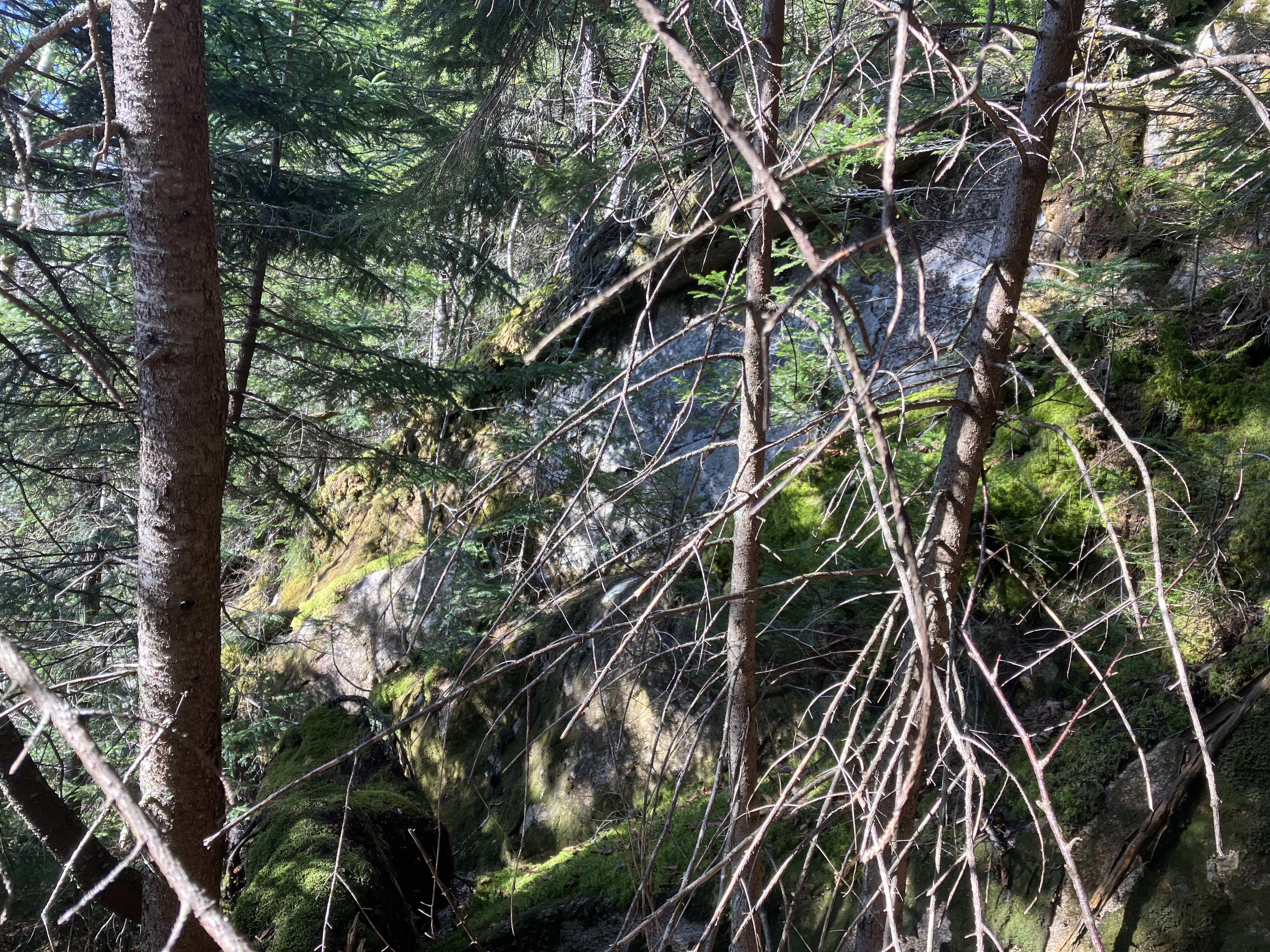
Several crags are hidden amidst the tangled forest.


Made it down to the base.


This cliff face looks to be about 40 feet high, but is well-hidden in the dark woods.


It extends for some distance up the slope.


Peering up.


It looks climbable, says the former rock climber. Not for me!


Another angle.


We emerged from the gnarly dark woods back to the promised land of the hardwoods and took a break before heading down.


This is the life!


Tripyramid's western slopes are blessed with golden evening light.


Descending.


Lingering snow along a shady section of the Mount Tripyramid Trail.


Black Cascade on Slide Brook, named for its dark gabbro bedrock.


Crossing Cold Brook just upstream from the trail crossing.


Last sun on Tripyramid.