
Wednesday, August 28, 2024

West Sleeper Slide: 8/27/24


Still feeling some after effects from a recent bout of Covid, I opted for a familiar, moderately strenuous trail-and-bushwhack trek to the big 2011 slide on the NE side of West Sleeper, deep in the Sabbaday Brook valley.

The three crossings of Sabbaday Brook were manageable, though I never consider them to be easy.


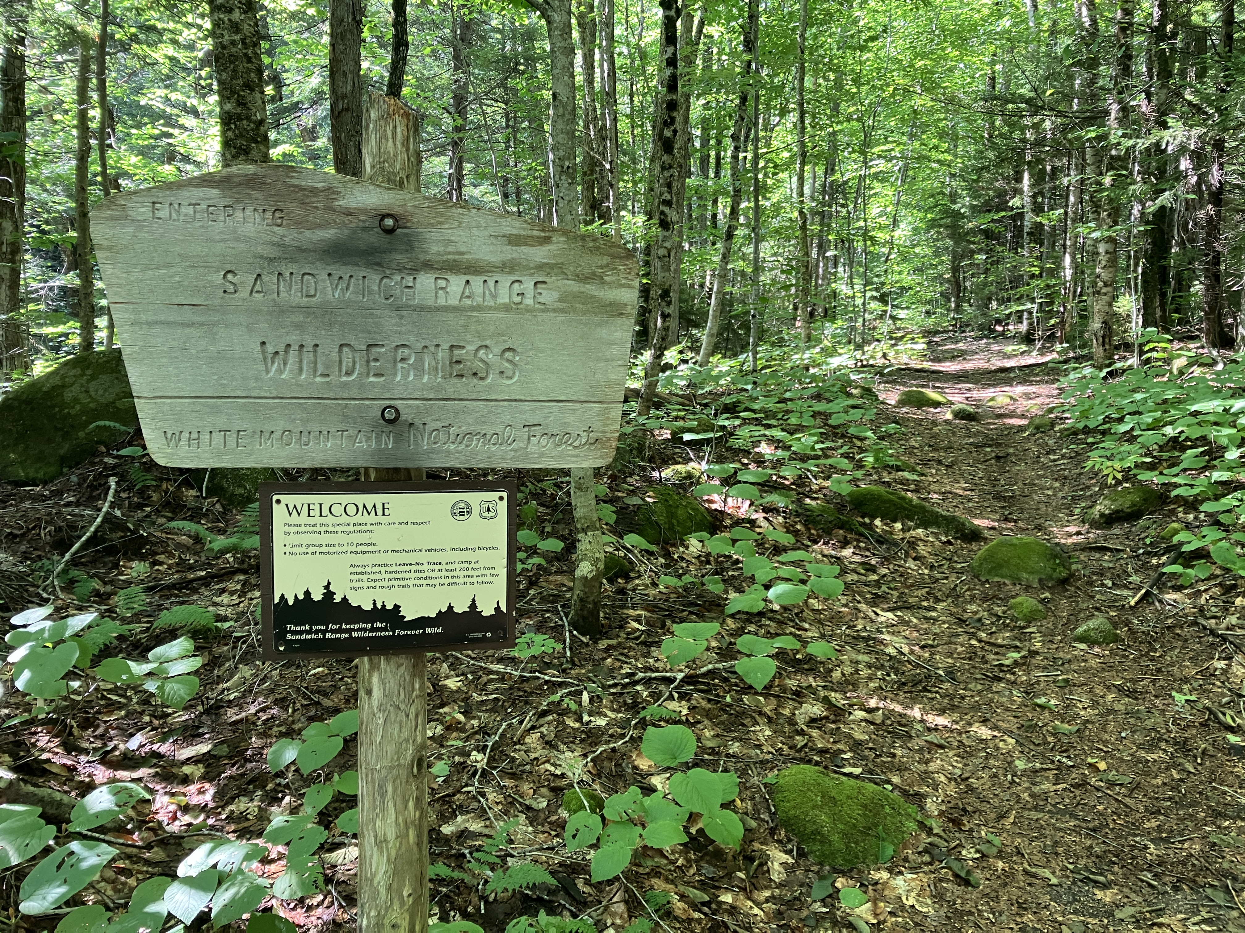
Into the Wilderness.


An unusual rock bridge over a small drainage.


As it heads south up the valley on an early 1900s tote road, the Sabbaday Brook Trail offers many stretches with good footing.


Just before the fourth crossing of Sabbaday Brook, the trail passes the site of the Swift River Railroad's Monahan Camp, marked by these trailside sled runners.


The old logging camp location is now a ferny hardwood glade.


Following an old logging road from the Swift River Railroad days in the early 1900s.


The bushwhack up the tributary that leads to the slide is a hobble-fest.


A lovely glade of yellow and white birch.


Continuing the hardwood and hobblebush theme.


The West Sleeper Slide carved a path of destruction for 0.15 mile downstream on this tributary of Sabbaday Brook.
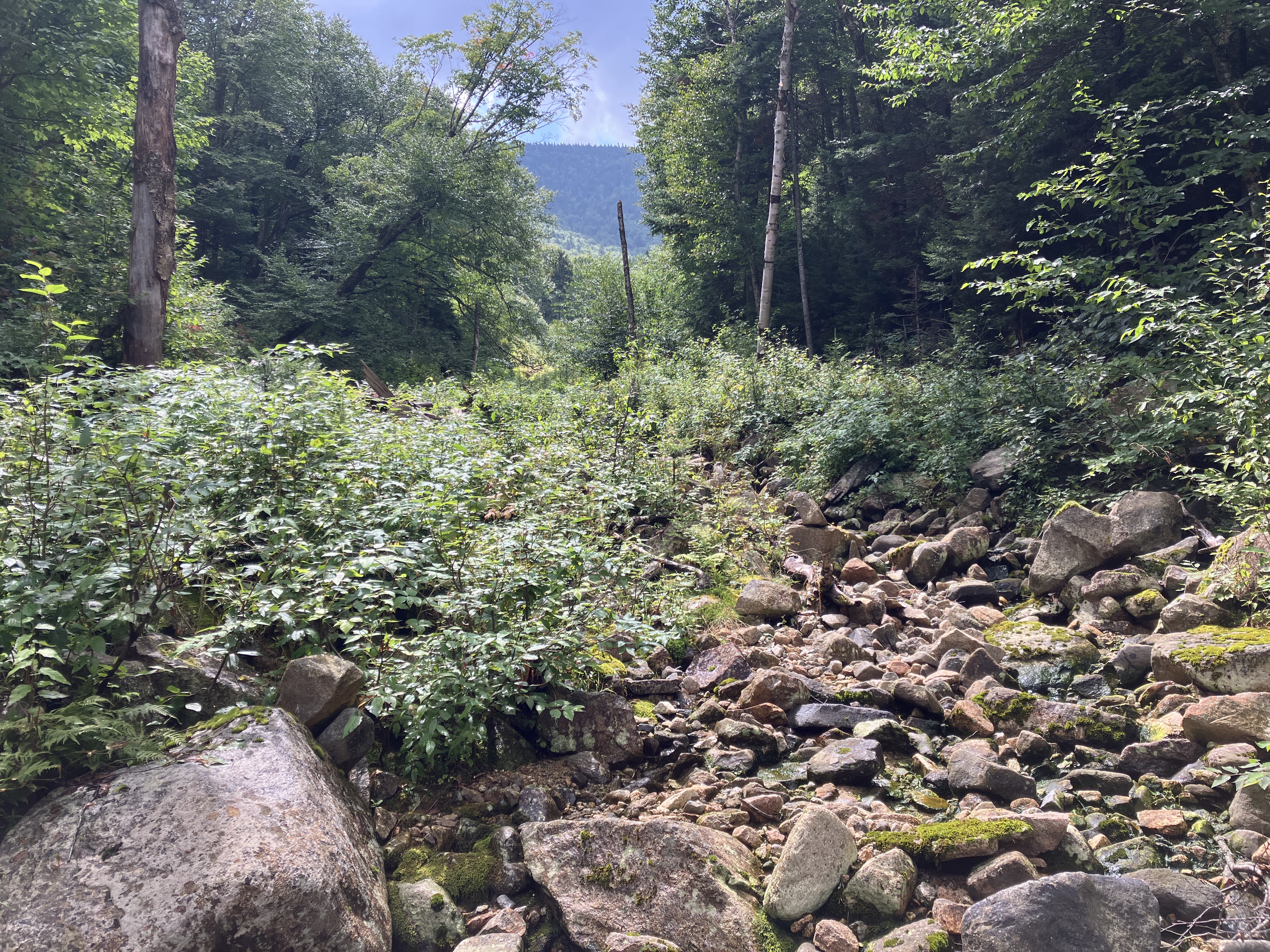


After 13 years, revegetation is running rampant on the slide track. It's easier to travel in deep winter snow.


Sleeper Ridge looms ahead as the base of the slide is approached.


This debris slope was formed when the slide slammed into the tributary at a right angle.


The bank offers a great perspective on the massive slide.


A short, steep scramble over loose rock gains a shelf at the base of the main body of the slide.


The lower section of the wedge-shaped slide is 200 feet wide.


This was my ninth visit to this slide - perhaps a dubious record of some sort - as I have been following the process of revegetation. Soon after the fall of the slide, this deposit area on the shelf at the base began seeding in with pioneers such as pin cherry and yellow birch. Now small spruce and fir are crowding their way in.


Pearly everlasting thrives on many slides.


Last winter I came across a white pine along the edge of this slide - the first time I've found this species on one of the recent (2011 and 2017) slides. It seems it takes longer for the occasional pine to be seeded in on a slide, compared to the pin cherry, birch, spruce and fir seedlings that sprout up within a couple of years. Today this was the first of four white pines I spotted, three of them diminutive.


Striped maple (aka moosewood or moose maple) is a frequent slide colonizer.


Lance-leaved goldenrod is also a slide denizen.


I'm guessing this may be Canada Goldenrod.


The bottom pitch of the slide is very steep.


Another perspective.


Down-look from top of the first pitch.


This was the white pine I spotted poking above the snow last March. It must have had a head start on its diminutive brethren,


The best views from this slide are found on the wide lower part. I found a comfortable spot and settled in for a long break. While I was hanging out here, a hummingbird buzzed by - a first for me on a slide.


A zoomed view taking in Mount Tremont, Carter Dome (hazy due to wildfire smoke), Bartlett Haystack, the Baldfaces, ledgy Potash Mountain, Bear Mountain, pointy "South Potash," and Big Attitash


Looking up the slide. After a long rest, I decided to climb to a set of rugged ledges a bit more than halfway up the slide.


As I zig-zagged up the steep open slope, I passed a fourth recently established white pine.


Getting higher.


The ledges, which contrast with the rubbly nature of most of the slide.


Tiered.


An inviting shelf.


Nice perch to hang out in the sun for a while.


The high, lonesome ridge of East Sleeper.


North Moat in the hazy distance. Kearsarge North peeks over in back.


An intrusion of a dark gray rock contrasts with the predominant Kinsman granodiorite.


Descending the slide as fair weather clouds sail across the sky.


A Christmas tree farm in the Wilderness.


It's coming.


Looking back up the slide track to Sleeper Ridge.


Back into the embrace of the hobblebush.


Homeward bound.


Saturday, August 24, 2024

Tunnel Brook Notch: 8/23/24


After five days spent hanging around home with a bout of Covid, symptoms were diminishing and I had a negative test. A beautiful sunny day prompted me to get out for a moderate hike away from the crowds. I returned to one of my favorite haunts - Tunnel Brook Notch, with its array of beaver ponds and slides, between Mount Moosilauke and Mount Clough. Since the closure of Tunnel Brook Road after Tropical Storm Irene in 2011, the shorter approach from the south has been the preferred route to the notch.


Most of the easy to moderate climb to the notch leads through open hardwoods. The four brook crossings were pretty easy, typical of late summer. What was surprising was the mosquito assault along the upper half of the climb. Weren't they reading their calendars?


Beautiful walking across the broad height-of-land.


This was a leisurely day, so I spent quite a while at the shore of Mud Pond, gazing up at Moosilauke's South Peak and the slides in Slide Ravine. This is the eighth (counting from the north), largest, and southernmost of the ponds in the notch. Here I met the only person I would see all day - a mountain biker who was camping down near the base of the trail.


Made a friend with a local resident.


After a lengthy sojourn, I continued north along the trail to an open spot on the shore of Pond #6, with another view of South Peak.


Peering south down the notch.


From here I launched a short bushwhack to the lower gravelly swath of the second (counting from the south) of nine slides on the steep east face of Mount Clough. Nothing too strenuous today.


An old beaver cutting quite a distance in from the ponds.


Climbing up the gravel. Above here the slide is ledgy and extremely steep.


Looking back.


From the top of the gravel swath, I enjoyed a nice view of the massive south ridge of Moosilauke. A couple of meadows on the notch floor peeked out below. I found a comfortable seat in the shade and stayed a while. There may have been a snooze.


Zoomed.


Heading back down.


It was interesting to see five species of conifer sharing space on the slide: red pine, white pine, balsam fir, red spruce and Eastern hemlock.


Back on the trail, heading north past Pond #5.


The crossing of Tunnel Brook towards the north end of the ponds required wading, and I was too lazy to put on my Crocs. Earlier this summer this crossing was shallow and easy. There must be some new beaver activity.


From here I had a nice view north across Pond #4.


Heading back to the south, I took another long break on a sitting rock by Pond #6. What a great way to spend a sunny late summer day.


Farther along, I made a short bushwhack down to the shore of Pond #7.


At the south end of Mud Pond, the late afternoon sun illuminated Slide Ravine.


Zoomed.


Slide Brook is a constant presence on the lower part of Tunnel Brook Trail.


Evening view of the Whites from the outlook on Route 118.