Wednesday, August 16, 2017

OWL'S CLIFF: 8/14/17

I hiked to this remote, seldom-visited 2940-ft. peak from the Kanc Highway and spent some time enjoying the great view of the Sandwich Range from its sun-washed ledgy outlook. Thanks to Carol for watching the store.

This route to Owl's Cliff begins with a ford of the Swift River on the Sawyer Pond Trail. It was easy today, but would be dangerous in high water.


A massive old white pine blowdown.


Nice easy walking on Sawyer Pond Trail.


At 1.1 mile on Sawyer Pond Trail, I turned onto a short section of Brunel Trail that sees little use and almost feels abandoned. Then there was a mile walk on the gravel USFS Rob Brook Road to the point where the Brunel Trail turns back into the woods. The actual mileage to the Owl's Cliff viewpoint from here is 2.1 rather than the 2.7 on the sign. From the Kanc the total round trip is about 9 miles.


Brunel Trail is lightly used and overgrown in places. This is a remote area and the trail has a wild feel to it. The first mile or so up from the road provides a pleasant meandering climb. through hardwoods and hemlocks.


The climbing is more serious in the upper mile, with one very steep, Hancock-like section. Some tall spruces thrive on this slope.


The conifers are dense on the broad crest of Owl's Cliff.


The sign for the view spur is on a fallen tree.


This neat sign was placed along the view spur many years ago.


I've always liked this ledge viewpoint for its lofty, airy feeling and its unrivaled view of the high peaks of the Sandwich Range.


Peak and valley ID.


Passaconaway and Whiteface.


Church Pond shimmers down on the Albany Intervale.


Green's Cliff is close by to the west, with the Osceolas beyond.


A closer look at the granite battlements of Green's Cliff.


Mt. Tecumseh through Livermore Pass.


The Sandwich Range with Paugus Pass and Mt. Paugus on the left.


After a long sojourn on the view ledge, I made a short, thick bushwhack over to the top of the mountain's southeast cliff.


Across the Albany Intervale to Mt. Chocorua and Mt. Paugus.


Mt. Chocorua and the Three Sisters.


Wild terrain up here. This cliff and the northwest cliff facing towards Sawyer Pond are well-known to backcountry rock climbers. On my last trip here I visited the tops of both cliffs, but with a later start today I didn't have time for the longer, more difficult whack to the northwest cliff.


Down-look.


Down-look #2.


Another great vista of the Sandwich Range.


Before heading down I made the very short bushwhack to the true summit of Owl's Cliff and signed in the register.


 Boulders along the Brunel Trail.


Mellow late afternoon descent on the lower Brunel Trail.


The corridor of the Rob Brook Trail, abandoned 5 years ago, where it left Rob Brook Road. It doesn't take Mother Nature long to reclaim a footway in these lush forests.


Tuesday, August 15, 2017

CHURCH POND: 8/10/17


I enjoyed a hazy, lazy afternoon in the Albany Intervale visiting beautiful Church Pond, one of the easiest hikes in the Whites. Thanks to Carol for watching the store.

The Church Pond Trail starts in Passaconaway Campground and immediately fords the Swift River. The water was low today and it felt good on the feet.


There is a new beaver dam at the crossing of a second channel.


Several years ago the Saco Ranger District trail crew installed a quarter-mile's worth of new bog bridges across an extensive swampy area. This amazing work makes the hike to the pond easy and pleasant.


A view of Green's Cliff across the swamp.


The trail ends at a gravelly hummock known as The Knoll, with a fine stand of red pine. The former eastern loop section of trail has been closed due to chronic wetness.


Gazing down at the pond with the summer breeze sighing through the pines.


There was a feasting on blueberries.


A couple of small openings on the shore provide fine views south to the Sandwich Range.


Sleeper Ridge, the Fool Killer, North Tripyramid and Scaur Peak.


Mt. Passaconaway and Potash Mountain.


I headed to a secluded flat sitting rock on the eastern arm of the pond for an extended break.


Looking towards Mt. Tremont, Owl's Cliff and Birch Hill.


A zoom on Owl's Cliff, displaying its NW and SE cliffs.


Summertime, and the livin' is easy...


I read the chapter on the "Deer Ponds" (the old name for the Church Ponds) in this classic 1916 book about the Albany Intervale.


Another vista from The Knoll.


On the way home I visited a wildlife opening/former log landing at the base of Tripyramid. A field of goldenrod highlighted the view of Potash Mountain.


An impressive view of Tripyramid peaks: the Fool Killer, North Peak and Scaur Peak.


Farther up the Kanc, I stopped to poke up along Ledge Brook. I'd passed the small roadside cascade on this brook hundreds of times, but this was the first time I'd stopped. A tenth of a mile up from the road, I discovered why it's called Ledge Brook.


This would be quite a sight in high water.


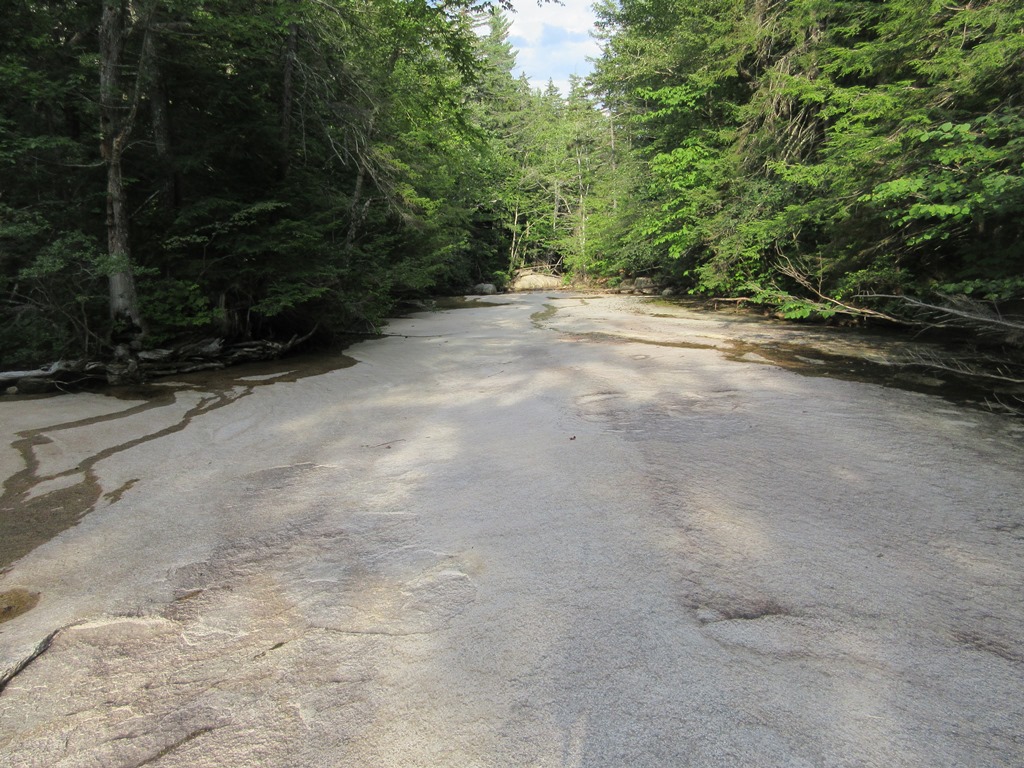
A fine display of granite brookbed. I'll be back for further exploration.

Friday, August 11, 2017

MT. PERCIVAL-MT. MORGAN LOOP: 8/9/17


On a warm sunny day, Carol and I enjoyed a leisurely geocaching hike on the classic loop over Mt. Percival and Mt. Morgan in the Squam Range. The trails were surprisingly quiet for August.

One of the geocaches we found was in a hole in this tree, which had its own little guardian. (The cache hole was several feet below the chipmunk.) Overall we found 12 of the 13 caches on the loop.


A steep pitch on the Mount Percival Trail.


Crazy terrain in the Percival caves area.


Welcome to the cave!


The other end of the cave. There's a tight and strenuous squeeze at either end. I went through and then back again in an unsuccessful search for a cache.


In the land of giants.


Ascending steep ledges near the top of the Mount Percival Trail.


Looking south down the Squam Range to The Sawtooth and Mt. Webster.


The open ledges at the summit of Percival, overlooking Squam Lake.


Summit signs.


Hazy view north to Sandwich Dome and Mt. Whiteface.


Carol takes in the view before we head across to Mt. Morgan.


On the wonderful Crawford-Ridgepole Trail.


A wooded bump called The Sawtooth is the high point of the Squam Range, reached by a short bushwhack.


Survey marker at the true summit of Mt. Morgan, where views are very limited. This was likely from Bradford Washburn's survey when he was making a detailed map of the Squam Range.


Atop the summit cliffs of Mt. Morgan, looking towards the Ossipee Range and Red Hill.


Looking south to Mt. Webster.


Carol takes in the Squam Lake vista.


Parting shot.


Squam Lakes Association trail signs.


A peek at the ladder route on Mt. Morgan, which we did not do. That one is definitely better going up rather than down! The highly rewarding Percival-Morgan loop -- using the Mt. Morgan Trail, Morse Trail, Mt. Percival Trail, Crawford-Ridgepole Trail and Mt. Morgan Trail -- is about 5 1/2 miles with about 1600 ft. of elevation gain.