Thursday, September 10, 2015

HHHH (HAZY, HOT & HUMID ON HANCOCK): 9/9/15

I have recently had a hankering to return to Mount Hancock, the sprawling mass of a mountain that anchors the south-central sector of the Pemigewasset Wilderness. Over the years I've enjoyed several marvelous bushwhacks exploring Hancock's wild ravines and ridges. On this hazy, hot and humid day, I opted for the usual loop over the North and South Peaks on the Hancock Loop Trail. Though this trek offers no stunning vistas, there are a couple of interesting views, along with stream scenery, miles of stark spruce woods, a beautiful meandering ridge walk, and a fine sense of remoteness. 

The first 1.5 miles of Hancock Notch Trail follows the grade of one of the early (1890s) Hancock Branch lines of J.E. Henry's East Branch & Lincoln Railroad. Good footing most of the way through this section.


At 1.2 miles a Tropical Storm Irene washout has opened a wide view over the North Fork of Hancock Branch.


The South Peak of Mt. Hitchcock can be seen downstream.


Some good trail stabilization work by the WMNF trail crew.


Where the Cedar Brook Trail comes to its former first crossing of the North Fork (the first two crossings are now bypassed to the right), there is an attractive ledgy area downstream to the left.


A cascade slides down a bed of granite ledges.


A pool at the bottom of the cascades. It felt about ten degrees cooler here than in the surrounding woods.


In this area the Cedar Brook Trail crosses an interesting boggy plateau at about 2700 ft.


Another crossing of the North Fork.

Headin' for the Hancocks.


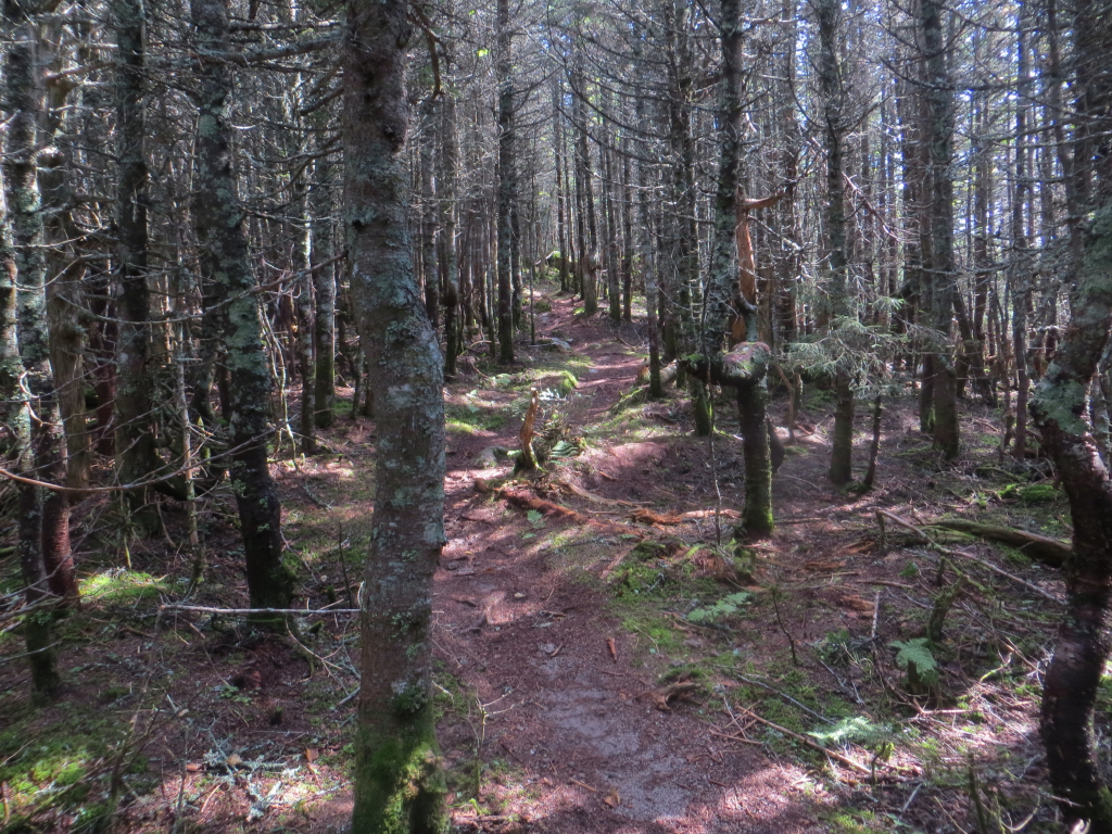
A fine stand of spruce on the Hancock Loop Trail.


Bushwhacking for miles through dense growth is what early explorers of Hancock faced, before the trail was built in the mid-1960s. Plus, before the Kanc Highway was completed to the hairpin turn, there was a long walk up the valley from Lincoln just to reach the area. Thus Hancock was long considered one of the most inaccessible peaks in the Whites.


Loop Junction.  It's steep either way.


As the North Link drops to a hollow, it offers a window view of the Arrow Slide, a huge gash on the south face of North Peak. This was a frequently used ascent route before the trail was built, and is still used by some today. Having climbed it once years ago, I can say that it is not for novices.


A neat open flat area in the hollow, with a patch of asters in bloom.


Along the hot, relentless climb to North Peak (1100 ft. in 0.6 mile),  a nice rock staircase built by the AMC Trail Crew.


Log retaining steps in an area of loose rock.


The trail tops out on the heavily wooded summit of North Hancock (4420 ft.).


After grabbing a summit geocache, I spent some time at the nearby south-facing outlook. Among several hikers who came by was Georg Feichtinger and his neighbor Bonnie. Georg is a Grid finisher, and after today's hike he needs only Tecumseh this month to finish his "over 70" Grid. Amazing!


The dark, backlit mass of South Hancock, with the Sandwich Range beyond.


A hazy vista down the North Fork valley to the Osceolas.


After an enjoyable sojourn at the outlook, it was time to head across the delightful Ridge Link to the South Peak. The trail makes this mossy meander shortly after leaving North Peak.


The first col along the ridge was wracked with blowdown.


Winding through beautiful high-elevation fir forest.


The AMC Four Thousand Footer Club contributed funds for the placing of these and other bog bridges along the Ridge Link.


The final approach to South Peak leads along a neat narrow ridge.


At South Peak I found the summit geocache, then dropped down the side path to the eastern outlook, which has been "enhanced" by a bit of tree cutting.


Mount Carrigain and Signal Ridge from the South Peak outlook. Part of Hancock's wild east ridge is seen below. The small slide probably fell during Tropical Storm Irene in 2011.


A haze-obscured vista out towards the Mount Tremont area.


Peering down to a remote beaver pond on the floor of a cirque below Hancock's east ridge. A larger beaver pond is hidden around the corner to the left. These were visited a few days earlier by backcountry enthusiast Matt Lacroix and two friends. One of my most memorable bushwhacks was a solo snowshoe to these ponds in March 1993. The views up to the steep-sided South Peak and the walls of the cirque were remarkable.


A trio of Gray Jays stopped by for some handouts.


North Hancock, seen from the top of the steep trail descending from South Peak.


As the AMC White Mountain Guide notes, this section of trail is "unrelievedly steep." Lots of loose rock, too. The loop over the Hancocks is always a memorable trek.


Wednesday, September 2, 2015


MOUNT FLUME & MOUNT LIBERTY: 9/1/15

A gorgeous sunny day with low humidity beckoned for high peak vistas. I changed plans from a lower elevation hike and decided to climb Mount Flume via the Osseo Trail, a longtime favorite. The day was so fine I ended up continuing across to Mount Liberty, coming down via the Liberty Spring Trail and bumming a ride back from Carol (thanks!).

The Lincoln Woods lot was pretty quiet on this end-of-summer midweek morning.


Looking up the East Branch from the footbridge.


View from the washed-out opening along the Lincoln Woods Trail.


Onto the Osseo, which was relocated to this wonderful route in 1983 due to condo construction at the base of the old route. I was one of the first hikers to come down it after it opened that year. It's a long route - 5.6 miles to the summit - but has mostly easy to moderate grades and a good variety of scenery.


The first 0.2 mile is a pleasant meander alongside Osseo Brook.


An interesting mushroom.


The first two miles of Osseo feature mostly easy grades and good footing as it follows old tote roads (and one short section of a 1901-vintage gravity railroad built by J.E. Henry's crews) up the long valley.


Higher up, the trail hops up onto the crest to the north, and eventually makes some neat switchbacks as it approaches the steep nose of the ridge.


The first view back to the Bonds, from a turn in the trail.


This bodacious section of Osseo climbs through amazingly steep terrain, using a series of wooden staircases/ladders to surmount the sharpest pitches.


At 4.6 miles from the trailhead, elevation 3500 ft., your reach the nifty viewpoint known as the "Downlook,"


This spot has an excellent view of Owl's Head and the Twin-Bond Range, in the western half of the Pemigewasset Wilderness.


Looking up at Mount Flume and the upper part of its great NE ridge.


From one angle you can see down to the broad floor of the Birch Island Brook valley.


Years ago I bushwhacked from Black Pond to this cliff on the trailless ridge on the north side of the valley. A neat spot.


From the Downlook there's also a long view up the East Branch valley to Mount Nancy and Mount Carrigain.


Impressive rock step work just above the Downlook.


More staircases.


A short distance above, a spur path leads to a unique SE view, with a peek down into the lower Osseo Brook valley.


Above the viewpoints the trail abruptly levels in a scrubby flat area.


After an easy meandering climb and one burst of steadier ascent, the Osseo ends at the junction with the Franconia Ridge Trail and the Flume Slide Trail.


From the top of the Flume Slide Trail an overgrown path leads out to a private crag.


Looking up at the summit, just to the north.


The view down into the Flume Brook valley from the crag, with Mount Moosilauke in the distance to the left.


The steep profile of Mount Liberty, with the Kinsmans beyond.


The face of Flume.


Back on the Franconia Ridge Trail, a look down from the top of the real Flume Slide.


The craggy summit, with Mounts Lincoln and Lafayette beyond.


On this warm, sunny, windless afternoon, I mostly had the summit to myself. This group of backpackers stopped by briefly before heading for the Osseo Trail.


The deep Flume-Liberty col, 450 feet down from the summit of Flume, 550 feet up from here to the summit of Liberty.


These slanting ledges just below the summit of Liberty can be a bit tricky to traverse.


I arrived at the top around 3:00 pm, and for nearly two hours had the place to myself on this glorious late summer afternoon.


The summit benchmark, located a few yards south of the high point.


North to the upper Franconia Range and Mount Garfield.

 
This Pemi-viewing ledge on Mount Liberty is one of the great perches in the mountains.


A sweet vista deep into the wilderness.


Bondcliff.


Mount Garfield and its wild south cliffs. Years ago, on a hot day, I whacked down from Garfield Ridge Trail to the ledge spot visible above the cliffs, and then back up. Great views from that ledge, but the price was high.


The cirques and slides of Redrock Brook; Mount Guyot to the right.


Mount Flume and the southern Whites.


It really couldn't get much better than this...


Looking down Liberty's craggy south ridge.


It was hard to leave this summit, as late afternoon is the best time to peer into the Pemi.


Looking west, Mount Moosilauke was a blue silhouette. Time to go.


The classic view of Liberty's summit crags.


Last vista before descending into the woods.


Some open firs along Franconia Ridge Trail.


The turn onto the Liberty Spring Trail, not one of my all-time favorites.


I stopped at Liberty Spring Campsite to fill a water bottle from the dribbling spring. The campsite was pretty quiet.


Large platforms reserved for group use.


There are few trail sections in the Whites that seem as endless as the 1.5 mile, 1700-foot descent over a wide, uninteresting rocky trail from the ridgecrest to a left turn where the trail finally eases and slips into hardwood forest. I'd climb Liberty more often if it had a more appealing approach. Liberty Spring is just a slog in either direction. But what a fabulous summit!