
CARTER DOME: 3/18/14
The forecast cried out for a peak: sunny, low 30s in the valleys, light winds. I like visiting the Carter Range in March, when the snow piles deep on the high, wooded ridges and lifts the snowshoer for winter-only views. Carter Dome, tallest of the range, is especially fine this time of year, when the trail along the ridge north of the summit becomes an open snow crest of deep, windpacked drifts.
It was a cold morning: 1 above in Lincoln, -3 in Twin Mountain, and 4 above when I set out on the Nineteen-Mile Brook Trail.

As expected, the Nineteen-Mile Brook Trail was a packed sidewalk, ideal for Microspiking.

The brook was well-buried, the more so after the previous week's big snowfall.

The snowshoes went on as soon as I turned onto the Carter Dome Trail, which had been softly packed by several Carter Dome climbers over the weekend. Between the two brook crossings the trail passes through some nice birch glades.

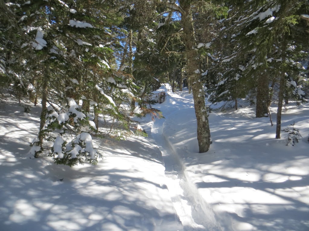
The grades are moderate up the side valley to Zeta Pass, with nice open woods much of the way.

A glimpse of the great slide on the side of Carter Dome, which fell in 1869.

Trail sign at Zeta Pass. Though there was plenty of snow here, it was two feet deeper in mid-March 2010, at which time John Compton and I found the trail signs buried.

The Carter-Moriah Trail up to Mt. Hight had only been broken out by a couple of snowshoers - that must have been a tough climb!

The Carter Dome Trail does plenty of sidehilling as it slabs across the west slope of Mt. Hight.

There were quite a few drifts through here, probably from the strong winds two days earlier. A previous snowshoer had partially busted through these either the day before my hike, or early this morning.

The Black Angel Trail sign was close to being submerged. This trail, a long route up from the isolated Wild River valley, is very seldom traveled in winter.

Big windpacked drifts marked the entrance to Black Angel Trail.

I went a short distance down Black Angel for a partial view towards the Wild River Wilderness.

Back on the Carter Dome/Carter-Moriah Trail, this Appalachian Trail blaze was barely above the snow.

Farther along, I bushwhacked eastward and down to an open patch I had spotted last spring from a viewpoint in the Evans Notch area. I placed my snowshoes gingerly through here, not wanting to plunge into a deep spruce trap.

My reward was a sweeping view over the Spruce Brook valley leading out to the main valley of the Wild River - all within the Wild River Wilderness.

There was a great look at the mottled snow-cones of the Baldfaces.

On its north side the Spruce Brook valley is enclosed by a massive eastern spur of Mt. Hight, with the mountains of Evans Notch beyond.

Looking SE to Sable, Chandler, Kearsarge North and Doublehead.

No-Ketchum Pond and surrounding bogs, at the head of the Wild River valley.

Farther north, a ledgy knob and some wide open birch glades, courtesy of the 1903 forest fire that burned through the upper valley.

A broadside view of Mt. Hight rising steeply from the upper Spruce Brook valley.

A long view north to the mountains of Maine.

The temperature was comfortable, and there was no wind. A great place to hang out for a while!

I followed my tracks back up through the scrub.

Back on the Carter Dome/Carter-Moriah Trail, huge drifts of windpacked snow had been piled up along the ridgecrest.

View of the Presidentials from one of the trailside drifts.

Mt. Adams and Mt. Madison, with the scoop of Madison Gulf between them.

Looking down the valley of Nineteen-Mile Brook.

Soon the trail was winding over, around and through the drifts, with great views that I frequently paused to admire.

The Pliny and Pilot Ranges, with the talus slope on Mt. Cabot prominently displayed.

Looking back at snow-capped Mt. Hight and the ledgy mass of Mt. Moriah.

The trail became an open snow ridge!

A spectacular stretch on this gorgeous afternoon, and no one else around.


Drift at Carter Dome summit, with Middle Carter beyond.

Looking north along the Carter Range from the summit viewpoint.

Big George, showing off Tuckerman and Huntington Ravines.

Junction with Rainbow Trail at south end of summit.

The former southern view from Carter Dome is non-existent in summer. With deep snow a number of peaks can be seen, including the Sandwich Range, the Osceolas and Mt. Carrigain.

Isolation, Moosilauke, Flume, Bondcliff, Willey, Jackson and Bond.

Heading back down the open snow ridge.

Drifts and mountains.

Nice woods heading back down the valley on the Carter Dome Trail.

Evening sun and blue sky in a birch glade, capping off a remarkable day on the Dome.


