
Friday, June 4, 2021

Tour of North Tripyramid: 6/2/21


A visit to Mt. Tripyramid is pretty much an annual affair for me. I hadn't been on the lower three miles of Pine Bend Brook Trail in eight years, so for this trip I chose a loop route over North Tripyramid: up Pine Bend Brook Trail, down to the top of the North Slide to enjoy its magnificent views, and descent via Sabbaday Brook Trail with a one-mile road walk at the end. 

There were 4 or 5 cars at the Pine Bend Brook trailhead, but I didn't see another hiker until I was almost down to the North Slide, and that couple was the only folks I would see on the trail all day.


Near the start Pine Bend Brook Trail follows the grade of the century-old Swift River Railroad for 0.2 mile.


The lower half of Pine Bend Brook Trail is mostly very pleasant walking, giving no hint of the steep and rough climbing above.


In the lower two miles the trail crosses numerous brooks, all of them branches of Pine Bend Brook - I counted 14 of various sizes. At normal water levels these are quite easy.


A peek at North Tripyramid from the edge of a logging cut the trail passes by.


Entering the Wilderness at 2.1 miles.


After crossing a rocky brookbed, the trail ascends roughly up the right side of a wild ravine.


 Jumble o' rocks, presenting some awkward footing.


Wild and lush.


More tough footing as the trail climbs in the brookbed for a bit.


A fresh double blaze marks a key left turn out of the ravine that is easy to miss in winter when the trail is unbroken. I know this from experience, many years ago.


The steep, rough ascent continues up the side of a spur ridge, eased in places with rock steps placed by the USFS Saco Ranger District trail crew a few years ago.


The grade eases a bit heading up the wild, brushy ridge.


At the top is a nice fir forest stroll across the crest of Scaur Ridge.
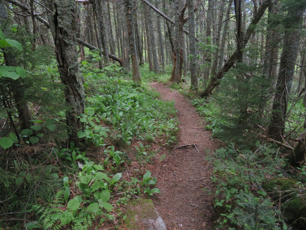


Near the junction with Scaur Ridge Trail, at 3440 ft., were perhaps the season's last trout lilies....


...and red trilliums.


Near this junction a path through tall hobblebush leads to an open glade with a partial view north to Mt. Washington...


...and Mt. Carrigain. With deep snowpack, this is a really fine spot.


The narrow ridge traverse beyond the trail junction is a favorite of many a Tripyramid hiker.


The last ~0.3 mile of the climb up North Tripyramid's cone is classic "steep and rough" with many slippery rocks tilted at awkward angles.


Every route up Tripyramid has at least one steep section.


At the top, I immediately headed steeply down the Mount Tripyramid Trail.


You drop about 200 ft. in elevation to get down to the North Slide.


The world drops away below. The North Slide fell during a massive rainstorm in August 1885. Even 136 years later, it remains one of the biggest slides in the Whites, though it was once even larger. During his study of White Mountain landslides in the 1950s, Edward Flaccus measured the average slope of the North Slide at 29 degrees with a maximum of 35 degrees. He estimated a length of 1100 yards (about 0.6 mile), an average width of 90 yards, and an area of 20.5 acres. He calculated the weight of debris moved at nearly 107,000 tons, the highest figure among the 23 White Mountain slides for which estimates were made.


The expansive views here are some of the best in the Whites. Some 27 NH 4000-footers can be seen near the top, and several more can be added if you drop down farther,


Looking north.


Mt. Carrigain and Mt. Washington are dominant.


The distinctive profile of Mt. Garfield.


The Osceolas, with a good look at the Painted Cliff on a spur of East Osceola.


It was just me and the black flies on the slide for an hour and a half.


Heading back up to the top of the slide.


Trail signs just below the summit.


The NE outlook on a short side path off the summit has really grown in over the last few years.


Middle and South Tripyramid and Sandwich Dome seen from an off-trail viewpoint on the west side.


I always enjoy the half-mile ridge walk to the Sabbaday Brook Trail junction.


More signage.


The upper 0.3 mile of Sabbaday Brook Trail is wickedly steep.


Almost looks like an Adirondack herd path in places.


On the lower part of the steep section are sharply angled slabs from an old slide, one of two that were once prominent on the east slope of Tripyramid. The trail formerly followed this slide to its bottom, but a relocation made in the 1980s fashioned a more moderate route swinging out to the north.


One peek at Mt. Chocorua from the slabs of the old slide.


The relocated section passes through a beautiful high elevation hardwood glade.
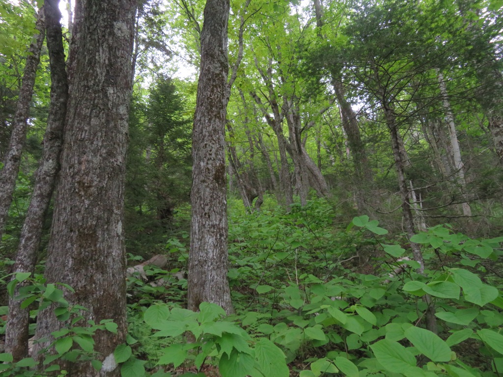


Birches in late afternoon sun.


Sabbaday Brook in a mossy guise.


The walk down through the upper Sabbaday valley can best be described as "magical."


Sled runners from an upper logging camp of the Swift River Railroad.


I've never seen a sweeter patch of purple violets anywhere in the Whites.


Fine rock waterbar work by the trail crew of the USFS Saco Ranger District. The loop described here, including the side trip to the North Slide, is 10.6 miles with 3100 ft. of elevation gain.


Thursday, June 3, 2021

An Afternoon in Grafton Notch: 6/1/21


On a fine first day of June Carol and I made the long drive to Grafton Notch in western Maine for a multi-purpose trip: finding two geocaches for her Difficulty/Terrain geocaching Grid, and checking a few trails and trailheads for the next edition of the AMC White Mountain Guide, due out in 2022.
 
Yes, some geocachers are Gridiots, just like hikers. Every geocache has two ratings: one for the difficulty of finding it, and another for the terrain one must navigate to find it. Each has a rating from 1 to 5, in 0.5 intervals. There are 81 possible combinations of Difficulty and Terrain, and some of the combinations are quite difficult. The first objective of our trip was to find a geocache named "The Jail," after a unique geological feature of the same name. This cache is only a 1 for Difficulty, but has a 4.5 for Terrain due to the short but very steep bushwhack required to reach it. After butt-walking down a very steep slope and traversing alongside a brook, we scrambled up into "The Jail," a remarkable rock enclosure. Once inside, we quickly found the cache.


In "The Jail."


A picturesque cascade and pool next to The Jail. Unlike Screw Auger Falls, this is not a "tourist stop" along Rt. 26 in Grafton Notch.


A happy geocacher climbing out of the gorge.


Old Speck Mountain and the cliff known as The Eyebrow, from our parking spot on Rt. 26.


The Eyebrow, seen from the large trailhead parking area for Old Speck and Baldpate, the two dominant peaks of Grafton Notch.


Map on the trailhead kiosk. Carol's geocaching objective was one called "Old Speck Spectacle," located next to a cascade about 0.8 mile up the Old Speck Trail. This one has a Difficulty rating of 4 and a Terrain Rating of 4.5. I had not been on the Eyebrow Trail in many years, so while she headed left up Old Speck Trail I veered right onto the Eyebrow Trail.


Trail sign at the start.


The lower part of the Eyebrow Trail is easy-graded through a fine hardwood forest.


Soon enough it becomes very steep, with a long chain of poles and metal cables as aids up a pitch of roots and ledges.


The Eyebrow is one of the hikes included on a "Wicked Wild 25" list compiled by guidebook author Greg Westrich, a Maine version of the "Terrifying 25" list compiled by Alex, Sage and Trish Herr. (Congratulations to those three stalwart hikers for competing their White Mountains 48 X 12 Grid together on Owl's Head on June 2!)


Iron rungs provide security on a traverse across a steep slab.


Side view of the rungs.


A metal ladder provides an exit off the traverse.


More rungs for the ascent of a very steep, slippery ledge.


Steep slab seen through the trees.


View off a short side path at the top of the slab.


Looking down the slab.


Many rock steps have been built since I last hiked this trail. An excellent example of trail construction.


The first of several small outlooks along the top of the Eyebrow. The views are great, though there is no large open ledge for "hanging out."


Bird's eye view of trailhead parking.


Looking up at the steep East Spur of Old Speck. There was once a spectacular trail than ran up this slope, with many open ledges, but it's been closed for a number of years.


Baldpate Mountain, close by to the east.


Zoom on Baldpate's ledgy East Peak, on the New England Hundred Highest list.


The centerpiece of the view is this Willard-like look down the floor of Grafton Notch, with Sunday River Whitecap and Puzzle Mountain beyond.


Sunday River Whitecap is the gem of the western Grafton Loop Trail.


There is a big open ledge on the Old Speck Trail just below its upper junction with the Eyebrow Trail.


Nice woods on the Old Speck Trail.


The cascade near which the geocache was hidden. Carol had already headed down by the time I looped around to here.


There are many more rock steps on the Old Speck Trail.


An "interesting" crossing over a sloping wet ledge. The Eyebrow Trail/Old Speck Trail loop is 2.4 miles with 1,050 ft. of elevation gain - short, but rugged.


On the drive back down through Grafton Notch we stopped at the trailhead parking area for the Grafton Loop Trail, where this notice was posted. This parking area is at the southern terminus of the eastern section of the trail.


Trail signs at the southern terminus of the western section of the trail. There is no parking allowed here; access requires a 0.6 mile road walk from the eastern section trailhead parking.


Next we made the long (9.5 mile) drive out through the Sunday River valley to the trailhead for the Wright Trail, the scenic eastern approach to Goose Eye Mountain. The trail is located on land owned by the state of Maine.


Signage at the trailhead kiosk.


There are two alternate routes for the first 0.5 mile of the Wright Trail. It appears that these days most hikers are using the easier, less scenic upper route along an old logging road.


The lower route alongside Goose Eye Brook has become more obscure; in fact, I couldn't follow it at the bottom and went to its upper end to follow it back down. It is a very scenic stretch of trail alongside the brook, and in two places it actually runs down the open ledges of the brookbed itself.


A water sluice along one of the ledgy sections.


Some neat water features.


Pothole cascade.


Beautiful expanse of ledge at the lower end of the brook route.