
Thursday, May 3, 2018

MOUNT WEETAMOO LOOP: 5/1/18


A pretty nice spring day for an interesting bushwhack to the highest summit in the Campton Range. I went up the long, curving NE ridge and down through the bowl of Chickenboro Brook.

Springtime and the little brooks are flowing.


On the rocks.


Up a familiar drainage.


This is bear country. In fact, I returned to this area the next day and spotted a bear not far from where this picture was taken.


A good-sized black cherry on the ridge.


A fine hardwood ridge.


Twisted.


The first substantial snow patches.


Ridgetop erratic with a ferny cap.


Sachem Peak and Jennings Peak.


View to Mt. Israel and the Sandwich Notch area. Upper Hall Pond was still frozen.


Triple trunk.


Another triple trunk.


Catskill-like.


Deer tracks.


A pretty springtime scene.


Into the conifers. So far, so good.


Uh-oh. A quarter mile of postholing misery on a gentle northern slope, sometimes with water underneath. Up to two feet of snow, at 2300 ft., on May 1st.


A weathered old giant.


Surprisingly, some bare ground on the ridgecrest on an eastern spur of Weetamoo.


Tons of moose poop up here.


More snow, even in the open hardwoods.


I was glad to turn the corner to SW-facing slopes.


Nice!


Little rocky meadows dot the ridge.


Mt. Weetamoo in sight ahead.


Clamshell fungus.


Nice hardwood col.


A fine spruce overlooks a meadow.


Tandem poops.


One of the main objectives was the wonderful open fern glade on the east side of Mt. Weetamoo.


Mark Klim and I discovered this special spot when we climbed Weetamoo in 2016.


Sandwich Dome.


View to the Ossipees and the north end of the Squam Range.


Heading up to the summit of Weetamoo.


One more stretch of postholing.


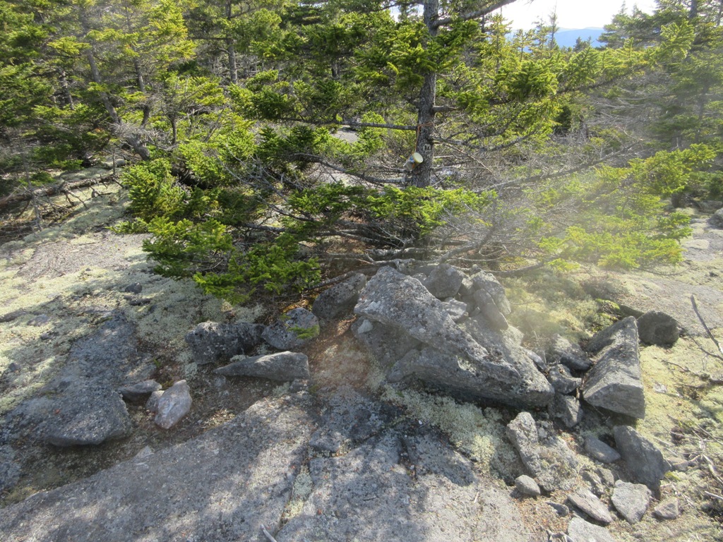
Summit of Mt. Weetamoo (2548 ft.). The summit register was saturated and mushy. There was a trail up Mt. Weetamoo in the late 1800s, starting at the large Robey farm in the Chickenboro Brook valley, and Moses Sweetser's comprehensive guide to the White Mountains gave a detailed description of the view.


Stinson Mountain from the ledgy summit.


 A wide view from a south-facing clifftop, all the way out to Mt. Monadnock. The Squam Range and Mt. Prospect in Holderness are prominent in the foreground.


 Campton Mountain to the west. Killington could be seen on the horizon.


Rugged terrain.


A short re-visit to the fern glade.


Golden late afternoon light in the hardwoods at the start of the descent.


Endless hardwoods cloak the slopes of the Chickenboro Brook bowl.


A magnificent maple.


What a tree!


I followed soon-to-be-official mountain bike paths on the lower slopes.


Beaver pond on Chickenboro Brook. The peepers were peeping! And several Barred Owls were hooting on the walk out.


Wednesday, May 2, 2018

CATSKILLS: THOMAS COLE MOUNTAIN - SOUTH RIDGE, 4/26/18


Each of the three peaks of the Blackhead Range has a long ridge extending south towards the Colgate Lake area. These can best be studied from the fields at Colgate Lake, as shown below. I've made two bushwhacks on the south ridge of Blackhead Mountain, where there is a fine view ledge up high. A few years ago I also noticed ledges on the south ridge of Thomas Cole Mountain (on the left in the photo). The trek to those ledges would be a fairly long bushwhack, starting at the Colgate Lake parking area and leading across the lower slopes of Black Dome's south ridge, over Halsey Brook, and, with a zigzag to stay on state land, up onto Thomas Cole's south ridge,    


On a cool, cloudy morning I set off northward across a field and into the woods from Colgate Lake parking.


A half-mile in I came across a number of "historic relics," perhaps from the old Black Dome Farm that operated here before this became state land, as mentioned in Dr. Michael Kudish's classic book, The Catskill Forest: A History.


Maybe a gasoline or oil dispenser?


A not-so-seaworthy rowboat.


A rusting jalopy.


On the lower slopes I made use of several old woods roads.


Beautiful open hardwoods on the lower slope of Black Dome Mountain's south ridge.


Mossy stream.


The classic Catskill open hardwoods continue.


A vernal pool, approaching Halsey Brook.


Nice woods on the floor of Halsey Hollow.


A washed-out spot on Halsey Brook.


Nice scene in Halsey Hollow.


I was surprised to find that way out here, the private land along the state land boundary was posted. I was careful to stay on the state land side.


Approaching the base of Thomas Cole's south ridge.


The climb up the flank of the ridge was steep but quite manageable.


Heading up the crest of the ridge, passing through or around several classic Catskill ledge bands.


Wonderfully open woods on the ridge.


Looking back.


Another ledge band.


Higher up on the ridge was this more imposing ledge band, which required a bit of maneuvering to get up through.


At the top was this semi-open brushy area with a partial view south.


Similar to the south ridge on Blackhead, there were several little grassy meadows above 3500 ft. Near here I found viewpoints on both sides of the ridge.


On the east side a grassy ledge offered this unusual view of Black Dome and the headwall of Halsey Hollow.


Black Dome and its long south ridge - maybe next year for that one.


A wide southeast view, including Lake Capra and Colgate Lake.


Kaaterskill High Peak and Round Top beyond Colgate Lake, with Overlook, Plattekill, Indian Head, Twin and Sugarloaf extending across.


Stoppel Point and West Stoppel behind Lake Capra.


A comfortable place to relax.


After probing up the ridge to 3700+ ft., into the conifer and old spring snow zone, I decided that continuing through the dense, wet woods and postholey snow to the viewless summit of Thomas Cole would consume precious time and energy, and severely limit time spent enjoying the views, so I retreated and went to the western viewpoint.


The southwestern view took in many Catskill peaks.


Hunter, West Kill and Rusk Mountains.


The Caudal and Camels' Hump, nearby western spurs of Thomas Cole.


South to the Devil's Path.


Descending the ridge.


Deep in Halsey Hollow.


Pretty spot along Halsey Brook.


A cascade on a side stream.


Nearing Colgate Lake, I crossed the stream that drains the spacious valley between Black Dome and Blackhead.


I exited through a field with a view back to Black Dome.


Evening light at Colgate Lake, capping a memorable day on the Blackhead Range.