
Sunday, May 21, 2017


SANDWICH NOTCH/SMARTS BROOK RAMBLE, 5/19/17

On a cool, cloudy, breezy spring afternoon and evening, I enjoyed a leisurely low-elevation loop, partly on trails and partly bushwhacking. A nice quiet day in the woods.


From the Smarts Brook trailhead, I went up the Tri-Town Trail and then veered off onto the Atwood Ski Trail, which is mostly used by mountain bikers.


It was looking very spring-like here.


A fine sitting ledge on the shore of Atwood Pond beckoned for a break.


A rare mellow stretch on Sandwich Notch Road.


I headed up a ridge to a nameless 2200-ft. knob I had visited last year. This shoulder featured open, mossy spruce woods.


These woods had the look of old pastureland, from the days in the mid-1800s when Sandwich Notch was home to a thriving farming community.


This appears to be a massive old-field maple.


Fallen ferns in a natural meadow.


A glimpse of Carr Mountain.


One of the objectives of this trek was to check out two open maple glades I found last year, as possible rich woods sites with Dutchman's Breeches. Alas, none were found, but this is a gorgeous Catskill-like glade.


I took a break atop this little rocky knob.


Magnificent woods in this area.


I stumbled upon this stark and desolate spruce bog.


Farther up the ridge was the second glade I wanted to check. No rare flowers here, either, but an inviting scene nonetheless.


Somethin's bruin.


Random ledge on the ridge, a shoulder of Black Mountain.


View of the Campton Range from the top of a sloping ledge-meadow.


Mt. Morgan and East Weetamoo.


Tufts in the woods.
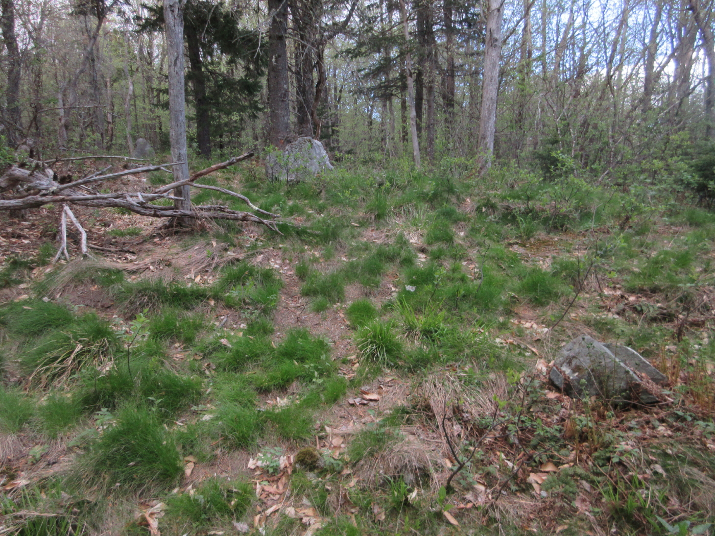

A natural tombstone.


Black cherry trees, which are fairly unusual in the Whites.


Wonderful whackin' heading down to Smarts Brook.


A fine cascade on a nameless tributary of Smarts Brook.


This brook was loaded with small cascades.


A ledgy waterslide.


And yet another cascade.


Sachem Peak overlooks the Smarts Brook beaver pond.


Evening glow on Black Mountain and Sandwich Dome.


Spring foliage on the flank of Black Mountain.


The Smarts Brook Cascade, always a pretty spot.


Friday, May 5, 2017


BLACK MOUNTAIN LEDGES & BLACK MOUNTAIN POND: 5/4/17

On a fine spring day Mark Klim and I headed out in late morning to the Sandwich Notch area for a 6-mile loop to a big open ledge area on a shoulder of Sandwich Dome's Black Mountain, followed by a descent to beautiful Black Mountain Pond. Our route started off Sandwich Notch Road and was a combination of bushwhack, old woods roads, and an obscure path, with short sections on the Algonquin and Black Mountain Pond Trails.

There's no better time than a sunny spring day in the hardwoods.


Stone wall along the historic Old North Road, dating back to the early 1800s.


Beaver meadow along the Algonquin Trail.


A big yellow birch beside an old woods road.


Cascade on a branch of Algonquin Brook.


Hemlock forest.


Bushwhacking up a hardwood slope towards the ledges.


Pileateds at work.


Bear nests in beeches.


Bear claw marks.


Approaching the top of the hardwoods, darker woods ahead.


The first ledge, with a limited view.


In the Sandwich spruce forest.


View south from the second ledge.


Mark emerges through gateway trees.


Arriving at the main ledges by an impressive rock wall, elevation 2575 ft.


Mark atop the main ledges.


A fine view towards Black Mountain Pond, the SE ridge of Sandwich Dome, and distant horizons.


Black Mountain Pond, with conical little Young Mountain beyond.


Snooze time!


Looking towards Mount Israel and Dinsmore Mountain.


South to Kiah Pond and the Squam Range.


Southwest to the Campton Range, with a bit of Lower Hall Pond visible.


Peering west towards Carr Mountain.


Nearby to the north looms the ledgy mass of the higher Black Mountain (3500 ft.)


A rock face with some rough edges.


Parting shot of a great spot. From here we bushwhacked across to the Black Mountain Pond Trail.


There was plenty of moose sign up here.


Descending a rock chimney on this steep, rugged section of Black Mountain Pond Trail.


Looking up at the chimney, which has adequate footholds and cracks for a careful descent.


Beaver meadow at the base of the steep slope.


The moss-grown beaver dam.


Somber spruce woods.


On the SW shore of Black Mountain Pond.


Across the water to the rugged slope of Black Mountain. The perch we visited can be seen as a little bump on the flat shoulder on the L.


Mark explores the rocky shore of the pond.


Homeward bound through the hardwoods.