PAUGUS BROOK EXPLORATION: 11/5/15
I took advantage of another glorious November day for a hike into the Paugus Brook valley on the Bolles Trail, and a bushwhack exploration into a ravine on the east side of Mount Paugus. The Paugus Brook valley is one of the most interesting bushwhacking areas in the Whites, with numerous ledges to investigate on both the Chocorua and Paugus sides of the drainage. Over the years I've made perhaps two dozen excursions to various destinations in this area. One of most memorable was a long spring day in 1997 when my friend Creston Ruiter and I visited 12 view ledges in a circuit around both sides at the head of the valley.
One spot stood out among those I had yet to visit: a remarkable overhanging ledge on the headwall of the ravine that opens out to the east and NE of the wooded, trailless true summit of Mt. Paugus. I had peered at this ledge many times from various viewpoints on the flanks of Mt. Chocorua - the photo below was taken from a ledge on the west ridge - and from the summit itself. I knew this would be primarily a hardwood bushwhack, and November, before the snow arrives, is a good time for this type of trip.
Another view of the overhanging ledge, as seen from Chocorua's Farlow Ridge. Prominent above it is a great granite slab fronting a 2800-ft. northern knob of Mt. Paugus.
A stop at the south end of Chocorua Lake is mandatory when driving to trailheads in this area.
The classic view of lake and mountain.
Mts. Whiteface, Passaconaway and Paugus.
There was only one other car at the Brook/Liberty Trail parking area at the end of rough, narrow Paugus Rd. Beyond the gate, I followed the gravel road to the Bolles Trail, soon coming to its major crossing of Paugus Brook. Huge step stones were placed here about 10 years ago by the Wonalancet Out Door Club. They were swept away by Tropical Storm Irene in 2011, but were soon replaced in a joint effort by the Chocorua Mountain Club and the Trailwrights.
Beautiful autumn strolling on the Bolles Trail, which is named for the late 19th century naturalist. Frank Bolles.
There was still some late foliage color hanging around.
The southern part of the Bolles Trail is used by snowmobilers in winter, and just north of the junction with Bee Line Cutoff the trail crosses large bridges over a tributary and then the main branch of Paugus Brook.
While searching for a geocache, I stumbled upon these pieces from an old stove (?) from the nearby Mason's logging camp, which was in use during the big Paugus Mill operation in the early 1900s.
New trail signs at the Bee Line Trail junction. I miss the old black-on-yellow Chocorua Mountain Club signs.
A trailside view up Paugus Brook.
The Bolles Trail closely follows the brook in places, making for a scenic stroll up the valley.
At 2.6 miles the trail makes a bridged crossing of the main branch of Paugus Brook, which flows out of a hidden basin on the NW side of Mt. Chocorua's summit.
Just around the bend is one of the neatest spots in the valley, an opening marking the site of Bert Mudgett's logging camp from the Paugus Mill days.
There are many artifacts here, such as this metal hoop through which a good-sized tree has grown.
A number of rusted sled runners can be seen.
Peavey heads.
More artifacts. As always, a reminder that it is illegal to remove any of these from the WMNF. They are part of the Forest's cultural heritage and should be left where found for other history enthusiasts to enjoy.
Part of a wood stove?
This arrow marking a turn through the camp site is being swallowed by a maple.
After a lunch break, I headed westward for my off-trail ramble into the ravine, soon crossing the small branch of Paugus Brook that emanates from the south side of the pass between Chocorua and Paugus.
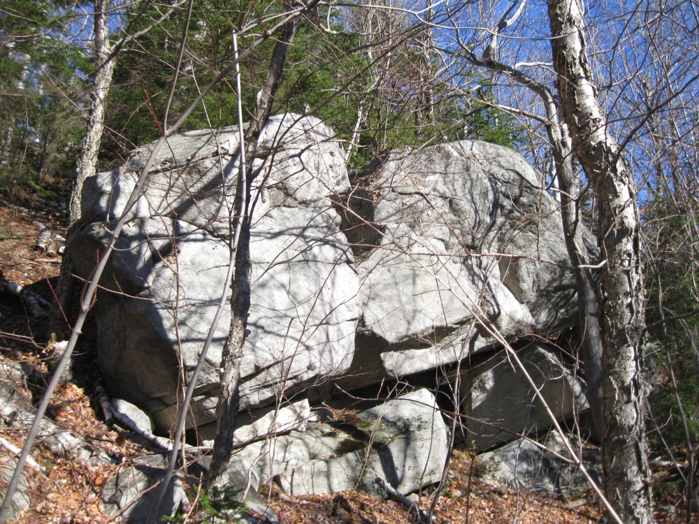
The first of many interesting large boulders I passed in the course of my exploration.
Open, gentle hardwood forest predominated at the beginning of the whack into the ravine. Naturally, it got steep, brushy and blowdown-infested higher up.
At one point I followed an old sled road from the Paugus Mill days.
A glimpse of the granite face on the 2800-ft. northern knob of Mt. Paugus. I once bushwhacked along the northern ridge and dropped down to the upper edge of that slab, an impressive viewpoint.
More big rocks.
I dropped down to the ledgy stream that flows off the headwall of the ravine
Farther up was a series of cascades and a small gorge. This could be pretty impressive with a good flow of water.
Looking back down the brook to ledges on an eastern spur of Paugus.
Creston and I visited this stair-like formation on our grand ledge tour in 1997.
Climbing on or alongside the open brookbed was easier than pushing through the dense tangle of hobblebush and blowdown in the adjacent woods.
A nice little cascade.
A large wet slab marked the point where I would traverse across the slope to the overhanging ledge.
It didn't take long to reach the edge of the slab below the ledge, and I quickly saw that this was one of the neatest features among many in the White Mountains that I've had the good fortune to visit.
I clambered up to walk under "the roof."
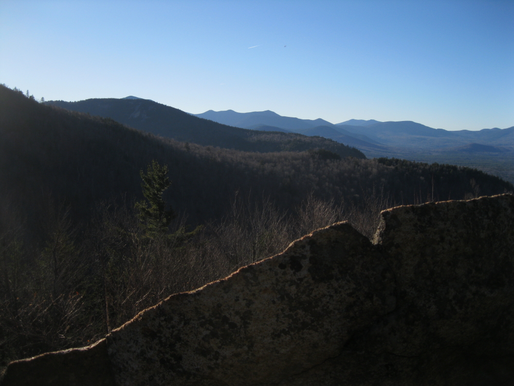
Going in, I didn't know if there would be any kind of accessible view at this spot. As luck would have it, there was a comfortable spot to sit at the edge and take in the fine vista of Chocorua. Nice!
A closer look at the iconic mountain.
An amazing natural rock sculpture!
The steeply sloping slab below the overhang.
After savoring this spot for nearly an hour, I was rebuffed in an attempt to get up to the top of the overhanging ledge by a blowdown tangle and a dangerous-looking sideslope above. The best option here was a strategic retreat.
On the way down, I got a different perspective on the overhang.
And another.
Beeches and boulders on the return bushwhack.
Before heading out, I went another quarter-mile north on the Bolles Trail to snag a geocache and enjoy the open hardwood forest and meandering brook in this remote and expansive upper valley. I hope to return again soon.