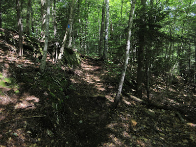
I enjoyed great summer weather for a hike to one of the finest backcountry ponds in the Whites, with a few route variations along the way. Cascades, a pond, some bushwhacking, a geocache and a view ledge - it was a good day in the woods.
The lower section of the Bennett Street Trail passes through some fine hemlock forest.
A nameless cascade and pool on Pond Brook.
A couple of years ago the Wonalancet Out Door Club built a good relocation around a streambank washout.
Just upstream from the relocation is picturesque Great Falls.
About 2 1/2 miles in I dropped down a steep slope from the Flat Mountain Pond Trail to Pond Brook. I was hoping to find a cascade named "Fan Fall" mentioned in the 1901 and 1908 editions of the Wonalancet Out Door Club guidebooks to the Sandwich Range.
The old guidebooks noted that Fan Fall was a half-mile upstream from Great Falls, so that's about where I dropped down to the brook. A search a tenth of a mile both downstream and upstream revealed a few minor cascades, but nothing that could be deemed a waterfall. My guess is that Fan Fall is downstream from where I turned around.
Another mini-cascade.
A large rock was a fine break spot, with a long view downstream.
Since I was down on the floor of the valley, I decided to take a bushwhack shortcut back up to the Flat Mountain Pond Trail, not far below the pond. This would save a mile or more of walking on the trail. I soon came to the confluence of the brooks that flow down from Flat Mountain Pond (on the right in this photo) and from the beaver pond at the hairpin curve on the trail (on the left).
I followed a remarkable narrow, steep-sided hogback for quite a ways up between the brooks.
I arrived in early afternoon at Flat Mountain Pond. This is the old dam at the outlet, built in the 1960s.
View of the northern Flat Mountain from a small beach near the dam.
Flat Mountain Pond Shelter, which looks to be in pretty good shape.
Surprisingly for such a fine summer day, there was no one around. I settled in for a long break at a shoreside spot with a long watery view to South Tripyramid and the Sleepers.
The top of the South Slide can be seen on South Tripyramid.
Summertime, and the livin' is easy...
After an hour or so, I bestirred myself to go find a geocache located 0.2 mile to the east in the woods on the lower slope of the southern Flat Mountain. After crossing the outlet brook below the dam, I found this view revealing the full sprawl of the northern Flat Mountain.
There were several ferny birch glades en route to the cache.
It had been two years since this one was last logged.
When I returned to the pond, there were two guys out on the water enjoying some backcountry fishing in a raft they had hauled up.
Before heading down I followed the railroad bed (of the Beebe River logging railroad, which operated from 1917-1942) to the point where it slips underwater. From here there's a wide view of the Sleepers and Mt. Whiteface.
A zoom on Mt. Whiteface, with its wild West Spur on the left.
Heading back down the Flat Mountain Pond Trail, you pass one long piece of leftover rail.
A half-mile down I made a short, steep bushwhack up to a ledge on a low spur ridge of the northern Flat Mountain. I had visited this spot once before, during a wild, windy rainstorm in July 1996 when Mt. Washington recorded a wind gust over 150 mph. I don't know why I was 4 miles into the woods on such a day, but in any case the trees were bending sideways in the wind and I couldn't stay long. Today the visit to the ledge was much more pleasant, allowing time to enjoy its wild, up close vista of the massive wooded ridges of Sandwich Dome. From this spot you see 5 different spurs of the mountain.
Mt. Israel can be seen off to the left.
To the right is the wild ledge-spotted hump of Flat Mountain's SW summit, and the deep col between Flat and Sandwich. Last year Mark Klim and I whacked up the valley towards the col and dropped into the deep cut of a flume down a bit on this side.
A scenic beaver meadow beside the Flat Mountain Pond Trail, at the unique hairpin turn on the railroad grade. Camp 9 was located here, but it appears the site is mostly underwater.
An unidentified large artifact at the site of Camp 8, near the junction of the Flat Mountain Pond Trail and Gleason Trail. (Please leave artifacts for others to enjoy.) From here I descended the remaining half-mile of the Gleason Trail back to the Bennett Street Trail.


