Spent a beautiful sunny morning visiting Tunnel Brook Notch, the deep gap between Mt. Moosilauke and Mt. Clough. The scenery in this longtime favorite locale is a unique combination of beaver ponds and slides, and I had a good sampling of both.
I used the shorter trail access via the southern trailhead for Tunnel Brook Trail off Long Pond Road.

Cascade above the crossing of Jeffers Brook, the first of four stream crossings along the first mile of the trail.

What a pleasure to hike on a mostly smooth footway after a recent steady diet of gnarly rocky trails. A rough road was opened through Tunnel Brook Notch, linking the Glencliff area with Landaff, as early as the 1790s. It was abandoned in the mid-1800s, then rebuilt by private parties in 1903, and in 1905 it was accepted as a state road.The road was permanently closed to vehicle use by landslides from the November 1927 storm, but it has remained open as a footpath since then.
Reservoir for the Glencliff Home, along Slide Brook.
Lovely, quiet woods along the broad height-of-land at the south end of Tunnel Brook Notch.
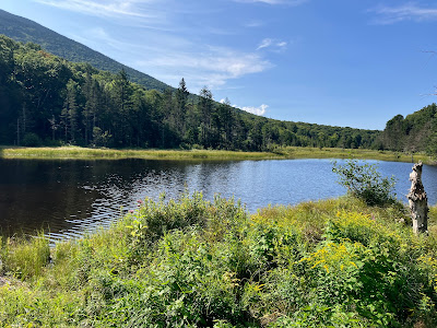
Morning at Mud Pond, the southernmost of the long string of beaver ponds in the notch. The view of Mt. Moosilauke's Slide Ravine is backlit at this time of day.
Farther north, the trail is just a bit overgrown.
One of the nicest spots in the notch is this grassy clearing that looks south over Pond #6.
After taking in the scene at the ponds for a while, I went off-trail towards the second of nine slides (counting from south to north) on the east face of Mt. Clough. There are some attractive glades on the flat floor of the notch.
Looking slidey - these is an open slope of gravel/glacial till on the lower part of the slide.
View over to Slide Ravine and Moosilauke's South Peak.
Boulders and birches on a revegetated part of the slide.
Arriving at the base of the very steep footwall at the base of the upper ledgy part of the slide. A short but intense bushwhack through the woods was required to skirt this 50-degree rock face.
Emerging at a little shelf.
I navigated a narrow seam up and across to an airy perch I had visited once before.
Like many of the slides on this face of Mt. Clough, this one is very steep, with an average slope of 37 degrees on its ledgy section. My best guess is that this slide fell in a 1942 storm. According to a new bedrock map of the Mt. Moosilauke quadrangle by geologist Peter J. Thompson, this is an intrusive rock known as Bethlehem Gneiss, age about 400 million years.
It seems every Clough slide, no matter how steep, has a perch to hang out on.
I sat in the sun and savored the view of Ponds #6 and #7, Slide Ravine, and Moosilauke's South Peak.
The biggest slide in Slide Ravine may date from the November 1927 storm. It's a steep one, and unlike the slabby Clough slides, it is composed of loose rock.
I won't be going any farther across here.
Looking north along the notch to the ridge ascended by the Benton Trail.
Steep on this side, too.
Looking back up my access route to the perch.
A view of the footwall from below. Yikes!
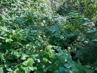
Early hobblebush color along the Tunnel Brook Trail.
At noontime, better lighting for the view of Slide Ravine from Mud Pond.


No comments:
Post a Comment