Sunday, February 25, 2018

KETTLES/IRENE'S PATH WANDERING: 2/23/18


My brother Drew and I found good snowshoeing conditions on the Kettles Path and Irene's Path in Waterville Valley, with some bushwhacking in between.

The giant battered white ash next to the Kettles Path.


To avoid the steep, icy trail on the back side of The Scaur, we bushwhacked up through open hardwoods around the southeast side. Snow conditions were ideal for whacking - firm with a bit of give. There were many beech nuts scattered on the snow.


An undulating maple.


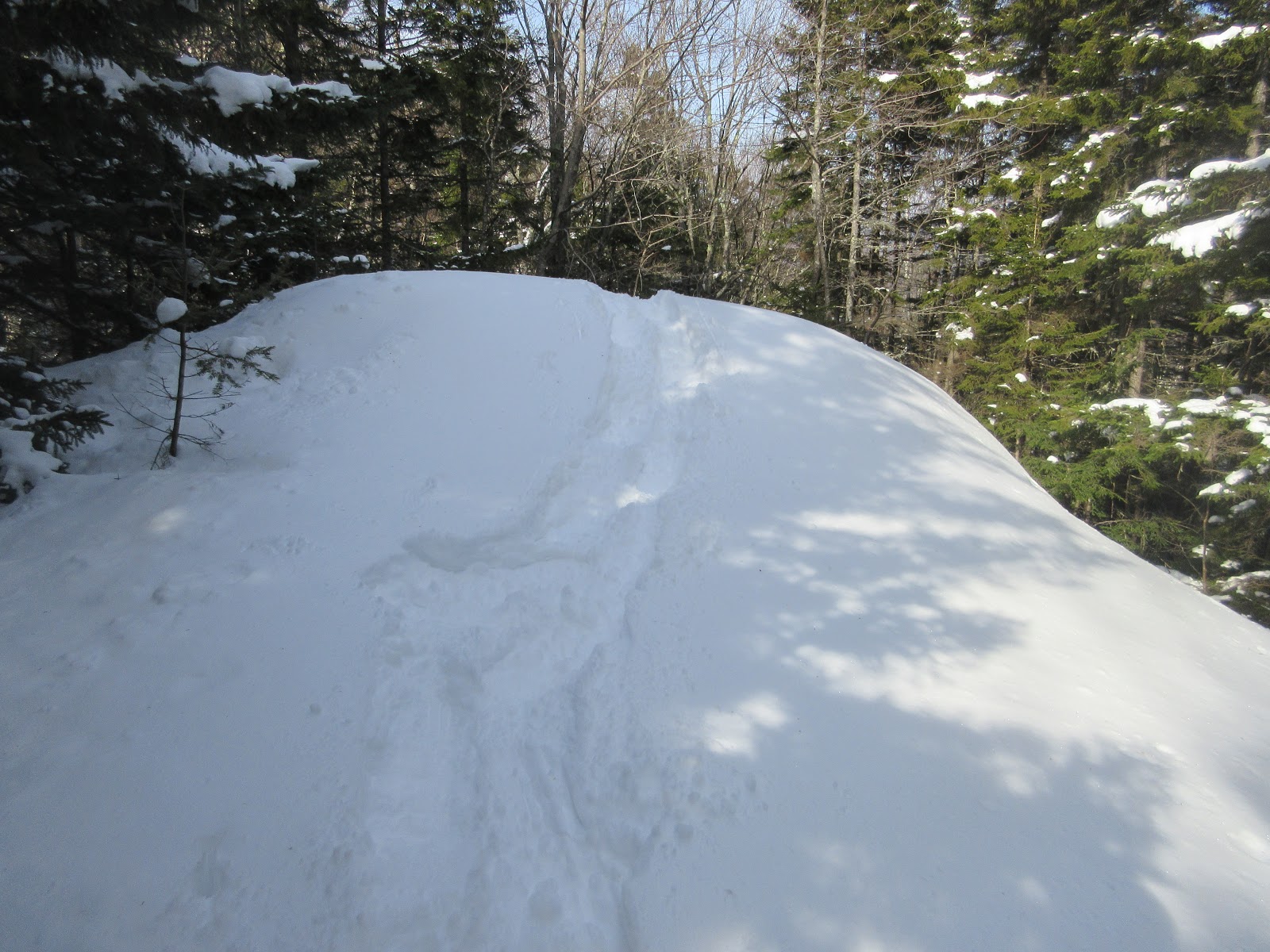
We came up to Irene's Path by the "Rock of Gibraltar."


Untracked snow along Irene's Path on the ridgecrest east of The Scaur.


We bushwhacked to a ledge I had spotted from Mt. Tecumseh in December and pinpointed on Google Earth. The only clear view was looking down.


From below, it's an impressive little rock face.


A limited view from another ledge just below.


Bushwhacking back to the trail.


"Nature's Sculpture" along Irene's Path, location of a geocache hide. But don't look for it til spring.


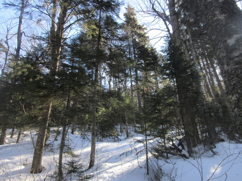
Open hardwoods along Irene's Path.


A ferny cap.


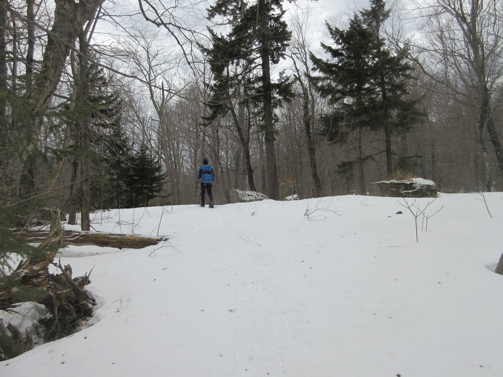
A nice open spot along the trail.


Mt. Tecumseh beyond the cliff face of The Scaur. We checked out the short, steep spur path up to The Scaur, but decided it was too icy to hassle with.


Nice spot for a lunch break before starting the descent.


Bear tree.


Down through the fine hardwoods.


Pileated Woodpecker excavation along the Kettles Path.


Deteriorating ice bridges on Slide Brook, just above its confluence with the Mad River.


Tuesday, February 20, 2018

VALLEY RAMBLING


SMARTS BROOK BEAVER POND: 2/14/18

On Valentine's Day I enjoyed an easy afternoon hike on Smarts Brook area trails to replace a missing geocache at a frozen beaver pond with views. Lots of beaver sign and saw a pair of White-winged Crossbills.

The beaver pond is a stark scene on a cloudy afternoon.


Ambitious beavers at work.


Beaver tracks.


Beaver artistry.


A peek at Sachem Peak.


Middle Acteon Peak as the sun finally emerged late in the day.


The Black Mountain ridge and Sandwich Dome.


Smarts Brook, along the Yellow Jacket Trail.


MORNING AT DRAKES BROOK:  1/19/18

A short snowshoe hike and bushwhack off the beaten path, enjoying the last powder we'll see for a while with an upcoming thaw.

I went about a mile up the Drakes Brook Trail, into the Sandwich Range Wilderness.


Good 'shoeing on Drakes Brook Trail, originally called the Drake Valley Trail when it was first opened in 1921. The lower part doubled as a ski trail in the 30s.


Heading up through open hardwoods at first, seeking a small ledge I had spotted on Google Earth at the base of Noon Peak.


Snow sculptures in the forest.


There was a 5-6" layer of powder atop a somewhat firm, deep base, making for fairly heavy going.


A balanced boulder.


Snow-capped lichens adorn a rock face.


The ledge is in sight above.


I was pretty sure it would be viewless, and it was, but it was fun to find it using a waypoint - sort of a nature-made geocache.


The ledge with tracks.


Right behind the ledge there's a shelf or seam that you can see on Google Earth.


 Above the seam the slope of Noon Peak shoots up in wild, wooded cliffs.


More cliffs. The east face of Noon Peak is impressively rugged, even down low.


Descending through open conifers.


A battered old yellow birch.


Untracked snow in the hardwoods.


Drakes Brook at the trail crossing. The snow bridge will likely be gone soon. With warming temperatures, the snow was already starting to clump up on my snowshoes by late morning.


Always a fine sight - slide-scarred Mt. Osceola from the Waterville Valley golf course. Last winter Mar Klim and I visited both of the prominent slides seen here - interesting explorations indeed!


Thursday, February 15, 2018

MOUNT PIERCE: 2/13/18

I had to get up high on this gorgeous sunny day with virtually no wind - much less than predicted. Amazingly, I didn't see another hiker all day on this popular winter peak.

The Willey Range was sharp and clear from the icy parking lot.


The familiar Crawford Path had a hard-packed, somewhat choppy track. I chose Denalis over Microspikes for their combination of traction and stability, and they worked well. Along the way was this burly yellow birch.


Old growth red spruce and yellow birch are found in the 900-acre Gibbs Brook Scenic Area.


Farther along, there is open balsam fir forest much of the way.


A long corridor above the Mizpah Cutoff junction.


A bilingual alpine zone sign.


First peek from the scrub.


The trailless Dartmouth Range across the Bretton Woods valley.


Emerging above treeline at the Webster Cliff Trail junction. Pierce was my first winter peak on a day like this back in 1983, and I was immediately hooked on winter hiking.


Heading up to the summit of Pierce.


The best Presy views are just before you reach the summit. There was quite a bit of ice along this section, but with care I was able to negotiate it with my MSRs, staying on the defined path and off the alpine vegetation.


The summit had a welcoming committee of local residents.


The hardy Gray Jays will be nesting soon.


I wanted to do the loop past Mizpah Spring Hut, but the trail heading that way was a postholed disaster.


I went partway along looking for views just off-trail, but was living dangerously with snow depth up to the handle. I reminded myself that a couple of winters ago I fell chest-deep into a spruce trap looking for views in a fir wave near Mt. Jim (Moosilauke). There was still air under my snowshoes that day and it took some time and effort to extricate myself.


I always savor this view across the Dry River Valley to Mt. Isolation and Mt. Davis. That's some wild country out there, especially with the closure of the Dry River Trail (again!) due to damage from the October storm.


Waves of ridges to the south, including the pinprick peak of Mt. Chocorua.


A Gray Jay takes in a view of the Sandwich Range.


Gold medal winner in the posthole competition.


Washington was the snowiest summit, while Eisenhower was mostly bare on this side.


Back at the Crawford Path/Webster Cliff Trail junction, looking out to Bretton Woods and distant Vermont horizons.


Afternoon sun in the boreal forest.