Friday, March 28, 2014


HEDGEHOG MOUNTAIN LOOP: 3/27/14

When my original, long-shot plan for today's hike didn't work out, I went to a pretty nice back-up option.

I was hoping to go about three miles up the Sabbaday Brook Trail and bushwhack to a slide I'd visited in 2012. For that to be feasible for me solo, the trail portion would have to be at least partly broken out, as the off-trail snowshoeing promised to be quite strenuous in deep, soft snow. I hadn't seen any reports on Sabbday since mid-March, but figured I'd give it a shot and check it on the ground.

I could see from the start that there was plenty of snow in the Albany Intervale.


As expected, there was a well-packed track leading to the Sabbaday Falls side paths. I took a quick look at the top of the falls.


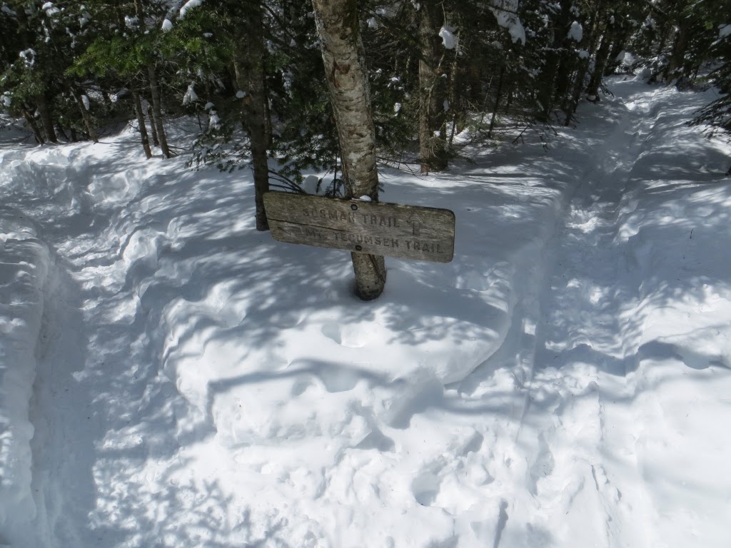
My hopes rose as the track continued past the falls, alongside the completely buried brook. But in another 1/4 mile the well-beaten track ended, leaving a single set of boot or small snowshoe tracks continuing on. I was not willing to suffer through three miles of that kind of snowshoeing, so I quickly returned to my car and drove the short distance east to the parking area for the UNH Trail.


I am the trail adopter for the west part of that trail, and from trail reports I knew there was a blowdown near the bottom. I figured I would take that out and do the loop over Hedgehog Mountain, checking for blowdowns both on my section and on the eastern section, maintained by friends Keith and Julie D'Alessandro. It was a gorgeous sunny day with temps rising into the 20s, and Hedgehog is one of the great moderate hikes in the Whites. As reported, there was a tree down across the old railroad grade portion of the trail. 


My Sven saw did the trick, with a little help from my folding Corona saw.


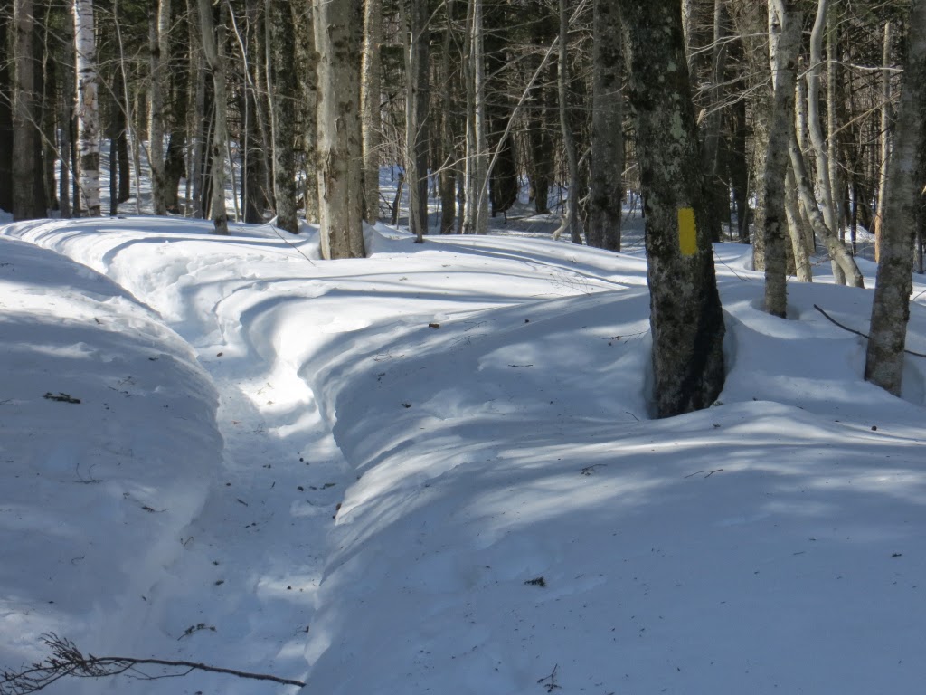
There was a pretty good snowshoe trench - often knee-deep along the trail.


The strong spring sun shone down into the open hardwoods.


There was quite a bit of drifting along sections of the trail. Barebooters beware! Some undrifted parts of the track had been chewed up by barebooters before the winds came from the recent off-coast Nor'easter.


Nice open spruce woods approaching the East Ledges.


From the first outlook, Carter Dome seen through Bear Notch.


The East Ledges are an area of fragile subalpine vegetation.


Heading up the east end of the East Ledges.


Looking back at the Moats across the Albany Intervale.


Mt. Paugus seen across the Oliverian Brook valley.


Beaver bog down in the valley.


The eastern spurs of Passconaway: Square Ledge, Wonalancet Hedgehog and Nanamocomuck Peak (with the slide).


The East Ledges offer a classic view of the mighty Mt. Passaconaway.


A mini-alpine zone on the east shoulder of Passaconaway.


The summit of Hedgehog seen from the second, more expansive set of ledges.


Hangin' on the East Ledges, my favorite spot on the mountain. I spent nearly an hour here lounging in the warm sun.


Towards the end of my stay a lone hiker came by and took a seat farther west along the ledges.


I always enjoy the wild, twisting stretch of trail between the East Ledges and the main summit.


Zig-zagging upward.


View out towards Paugus Pass from a turn in the trail.


Fun section up a spine of ledge.


Just below the summit, I made my way down to a secluded ledge that is my second-favorite spot on Hedgehog. Spent an hour here as well.


I love the jumble of peaks seen here to the west.


The Tripyramids, with South and Middle Peaks rising at the steep head of Sabbaday Brook.


Mt. Carrigain and Green's Cliff.


The mass of the Hancocks, with two partial glacial cirques displayed on the south side.


From the summit ledge, Mt. Chocorua to the east.


Looking out over the Oliverian Brook valley.


Serious snow depth in the woods behind the summit ledge.


Trail heading north across the summit.


Weather-beaten white pine on west side of the trail.


A  different angle on Passaconaway, showing its spurs descending into the Downes Brook valley.


Northern view to Mt. Tremont and Mt. Washington.


The UNH Trail is pretty steep as it drops north off the summit.


Last look at Tripyramid and West Sleeper, wrapping up a leisurely sunny day on Hedgehog.


Wednesday, March 26, 2014


LATE MARCH SNOWSHOE HIKES

The winter that won't end has brought forth a lot of griping, myself included. But one benefit has been an extended snowshoeing season, with midwinter conditions prevailing on the trails. Might as well take advantage of it!

WELCH MOUNTAIN LEDGES: 3/21/14

I had a couple of hours free after a morning appointment in Campton and headed back to the Welch-Dickey trailhead for a hike most of the way up Welch Mountain. Conditions were good with great snow coverage on the ledges. The scene at the first open ledge on the southern shoulder was enhanced by a snowman peering across the valley at Sandwich Dome.


The high ridges of Sandwich, a massive, sprawling mountain.


Gnarled oaks on the way up to the next ledges.


My turnaround point was the huge open slab at about 2200 ft., here looking over at Cone Mountain.


Looking south from the top of the slab towards the Campton Range.


A healthy-looking Jack Pine, a northern tree that in the White Mountains is found only on Welch Mountain, the Webster Cliffs, Mt. Chocorua's Carter Ledge, and a few other locations.


LOWER GEORGIANA FALLS: 3/23/14

Beautiful powdery conditions greeted Carol and me as we took a short local snowshoe hike in the morning on the Georgiana Falls Path in the Second Presidential State Forest.


The 0.8 mi. trek to Lower Georgiana Falls is mostly easy, with a short bit of steep climbing at the end. As expected, the falls were muffled in snow.


We climbed up the trail a short distance above the falls and snowshoed out onto the open brookbed for a view out to Russell Mountain.


Carol snowshoeing down through the open hemlock forest above the falls.


Nice sun at the base of the falls.


Snow sculptures on Harvard Brook below the falls. If you're in the Lincoln area and have only a couple of hours free, this is a great little snowshoe trek (or summer hike).


MOUNT TECUMSEH: 3/25/14

Yet another cold morning in late March, -2 F in Lincoln, but it warmed up into the 20s in the valleys. Still, this snowshoe trek up the packed-powder track of the Mt. Tecumseh Trail was a winter hike. Things were quiet at the Waterville Valley Ski Area, and even at 10ish I was able to park directly across from the trailhead.

Bright sun in the hardwoods on the lower part of the trail.


Beautiful skies at the ski trail viewpoint, 1.2 mi. up from the trailhead.


Classic view of the Tripyramids.


Peering out towards Livermore Pass.


The "endless mile" above the ski trail viewpoint starts out as a wide chute where it has been carved out by skiers and snowboarders, who drop in at an unofficial access path above.


Above the access route (ca. 3000 ft.) the trail narrows.


The trail split at the base of Tecumseh's steep summit cone: Mt. Tecumseh Trail to the R, Sosman Trail to the L. Most hikers use the less steep and more scenic Sosman option.


Not far up the Sosman Trail there are some neat views to the W, enhanced by deep snow cover.


The Kinsmans rise above the crest of West Tecumseh.


Mt. Moosilauke seen beyond the talus patches on the SW ridge of West Tecumseh.


The summit viewpoint has been even more "enhanced" since I was last here a year ago. It certainly makes Tecumseh a more attractive destination,  but one would hope that whoever is doing this would obtain permission from the Forest Service before undertaking any view clearing.


The spread of the western Sandwich Range. Mt. Passaconaway peeks over to the R of South Tripyramid.


 A zoom on Mt. Whiteface rising above Snows Mountain.


From the deep drift at the front of the viewpoint, a profile on the four peaks of Mt. Osceola.


A summit vignette. The only hiker I saw all day stopped by briefly here. It was grid completer Bruce Pfendler, who was doing Tecumseh as a "calendar day" hike before heading down to Boston to catch a flight to Athens for a hiking trip in Greece.


I followed a partly broken snowshoe track 0.1 mi. down the N side of Mt. Tecumseh Trail to a northerly outlook. The views were pretty fuzzy in that direction, so no photos.


Respectable snow depth here!


I made short bushwhack to a southern viewpoint, also "enhanced," atop a steep dropoff. The neatest part of this vista is the ledgy spur ridge coming off the summit of "SW Green," with Hogback and Fisher Mountains behind. Wild area out there.


Sandwich Dome beyond the ski slopes.


Looking south down the Sosman Trail ridge.


Waterville Valley - "the Town at the End of the Road" - with Mt. Whiteface beyond.


I bushwhacked down a steep slope of deep, soft snow seeking additional views to the west. I did get this neat perspective on the Bald Mountain ridge, the lower part of the long SW spur ridge of West Tecumseh. I've always wondered what caused the remarkably straight boundary between hardwoods and softwoods on the steep slope.


Plunging into a spruce trap is one of the perils of scrounging for views off-trail.


Late afternoon light descending the Mt. Tecumseh Trail.


The upper crossing of a completely buried Tecumseh Brook. Where, oh where is spring?