
DOWNES BROOK SLIDE: 2/23/17
An amazing spring-like day proved ideal for a climb up the snowy slabs of the Downes Brook Slide on the northern flank of Mt. Passaconaway. This slide came crashing down in the early 1890s and for many years was a major part of the route from Albany Intervale to the summit of Passaconaway, becoming known as the Downes Brook Slide Trail or Passaconaway Slide Trail. The ledges of the slide are very slippery in summer. In recognition of the tricky footing, a warning was added in the 1940 edition of the AMC White Mountain Guide: “This trail is dangerous, especially after a rain, and is not recommended to amateur climbers. It is not signed for this reason.” Because of this danger, and also due to the very steep, mossy, erodible section above the slide, the trail was abandoned in the late 1950s. About 1990 unknown parties attempted to unofficially reopen the trail, painting blazes on the ledges of the slide and posting signs at both ends. Subsequently the USFS, in cooperation with the Wonalancet Out Door Club, obscured the unauthorized blazes and posted signs noting that while public use of the area was welcome, unauthorized maintenance of this closed trail was illegal and subject to fines. With the right conditions, the ledges of the slide are great for snowshoeing, and there is virtually no impact on the area.
The ledges of Potash Mountain offer a great view of the Downes Brook Slide. The old trail followed the first of the two right-hand turns of the slide, and then climbed a long, outrageously steep pitch to the north outlook on Mt. Passaconaway, shown by the "V." The 0.3 mile side trail from the Walden Trail down to that outlook was the uppermost part of the old trail.

When I left Lincoln in the morning, it was 32 degrees, and I had hope that if there was a snowshoe track on the Downes Brook Trail, the four crossings of the big stream would be passable on snow bridges. When the temp rose to 45 degrees at Kancamagus Pass, I began thinking about other hikes. But back down in the Albany Intervale, it was again 32 degrees, so I figured I'd give this trip a try.
I lucked out in that there was a good, posthole-free snowshoe track on the Downes Brook Trail beyond the junction with the popular Mt. Potash Trail. Had this been unbroken, I would have retreated and headed to a different hike rather than break trail for two miles just to get to the base of the slide.
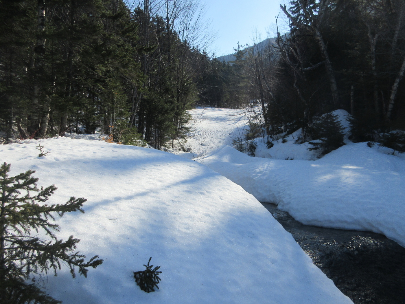
I also lucked out in that the snow bridges for the four crossings of Downes Brook were still stable depsite the recent warm weather. Temperatures soared well into the 50s today. Crossing #1 was solid.

A nice morning for snowshoeing.

At crossing #2, I stepped gingerly in the middle.

Crossing #3 was in good shape.

A nice hardwood stretch.

Crossing #4 was a little shakier. Whew!

Into the Wilderness at 1.5 miles.

After a quick up-and-down, the trail follows an old tote road up the valley.

A snow layer cake on Downes Brook.

Downes Brook at the point where the brook from the slide comes in.

The nameless brook that leads up to the slide.

Moose were in the neighborhood.

A buried cascade at the foot of the slide.

Heading into the sun on the gentle lower slabs.

Tracks of a wandering moose.

Looking back at Potash Mountain.

This part of the slide is a vast snowfield.

Potash and its neighbor, "South Potash."

From the edge there was a glimpse of The Fool Killer and Middle Tripyramid.

Heading up to the top of the lower slabs.

I took to the woods to get around this ledge step.

Looking down from the top of the step.

The winter garb of a cascade and pool.

The north spur of Passaconaway looms above.

An open highway ahead.
Another spacious slab. An amazing snowshoe route!

A snow ramp leads to the next level.

Leading up to the "turn of the slide," the brook entered a small canyonlike area.

I took to the woods on a sidehill traverse to get around this, stepping carefully in the soft wet snow. In many places there was a solid base under the top mushy layer.

A wide spot where a small slide/brookbed joins from the right.

A neat open area approaching the "turn of the slide."

Looking down towards the mini-canyon.

The Hancocks in the distance.

Zoom on the Hancocks, showing the two glacial cirques on the south side.

Two big snowy slabs loom above where a branch of the slide makes a 90-degree right turn.

A zigzag route should do it. The wet, heavy snow was ideal for ascending these steep slabs; it was easy to make solid snowshoe steps. The old trail did not ascend these ledges; they are dangerously slippery in summer. The route went up through the woods on the side.

Views starting to pop out.

Green's Cliff and the Nancy Range.

A nice vista from the top of the first slab.

Mt. Carrigain behind Potash Mountain.

Should be even better views up there. It looks steep, though!

Looking back at the shelf atop the lower slab.

Rippled snow. Up we go!

The snow is just right for this kind of climbing.

Getting up there!

Thankfully, the ice bulges are mostly covered.

Views really opening up.

I worked my way up and around to a comfortable spot at the top of the slab. This was the day's ultimate destination; above here, the old route was in the woods.

Up here, at 2800 ft., there was a wide-screen northern vista, from the Hancocks across to Carter Dome.

The Presidentials rise behind Mt. Tremont.

I stamped out a platform and sat on my pack for an hour, taking it in. It was around 50 degrees and quite comfortable.

Looking back at my hangout spot. This is possibly a dangerously slick spot in summer.

Looking back at my tracks on the upper slab.

Heading down.

Looking upstream along the main brook. Another 200 feet higher it comes to a second branch of the slide. Maybe someday...

Making tracks.

Good view of the north spur.

The north viewpoint of Passaconaway is up there. In his 1916 book, Passaconaway in the White Mountains, Charles Edward Beals, Jr. called it "a lofty eagle-nest of a cliff."

Approaching one of the lower open slabs.

A cascade cuts a swath through the snow.

Back on the main lower slabs, and "into the great wide open."

Afternoon light.

Final look.

A moose had crossed my tracks while I was on the slide.

Approaching the Downes Brook Trail.

Deer tracks on the Downes Brook Trail.

The snowshoe track was still firm on the trail, and this was the only place I punched through going back through the four brook crossings. But with more warmth - plus rain - in the forecast, the snow bridges may soon be gone for the season.
