SMARTS MOUNTAIN LOOP: 10/18/11
There's something comfortable and cozy about the mountains and hills along the Appalachian Trail between Mt. Moosilauke and Hanover. Maybe it's the bucolic surroundings in the upper Connecticut River valley, or the open hardwood slopes, or the lack of crowds. Whatever it is, it draws me back there again and again.
Probably my favorite destination of several in this region is 3238-ft. Smarts Mountain, the highest and most massive peak in the loosely affiliated chain of summits sometimes called the Middle Connecticut River Mountains. Rising in a remote corner of the town of Lyme, Smarts's huge wooded bulk dominates the landscape for miles around. This mountain has held a fascination for me ever since Mike Dickerman and I first climbed it in 1988.
On a cool, breezy and partly sunny day, I headed down to the trailhead on Dorchester Rd. for a hike over Smarts via the classic Ranger Trail-Lambert Ridge Trail loop. I decided to go up the Ranger Trail, as I figured the wet ledge slabs leading up to the Lambert Ridge junction would probably be easier to ascend than descend.
For a number of years the Ranger Trail - the old route used by fire wardens staffing the summit tower - has not been officially maintained, and parts of the trail are very wet and/or eroded. To my surprise, there were fresh blue blazes on the first 1.5 mi. of the trail, and I later found out from DOC that this trail now has an enthusiastic volunteer adopter. Good news!

After an initial short wet section, the Ranger Trail provided about a mile of mostly pleasant walking on the old woods road used by the fire wardens.

For a short distance it follows alongside Grant Brook, which drains a big valley on the south side of Smarts.

In the next 0.8 mi. there were some soggy stretches, for sure, but my boots never got very wet.

One of the dry sections, with some nice understory color and a hint of Smarts Mountain behind the trees.

About two miles in, where the woods road ends, the old fire warden's garage still stands.

The next stretch of trail is gentle across the broad floor of the upper Grant Brook valley.

Bronze-tinted beech leaves border a northeastern tributary of Grant Brook.

Farther along, in at least two places you can see old telephone poles alongside the trail, remnants of the warden's telephone line.

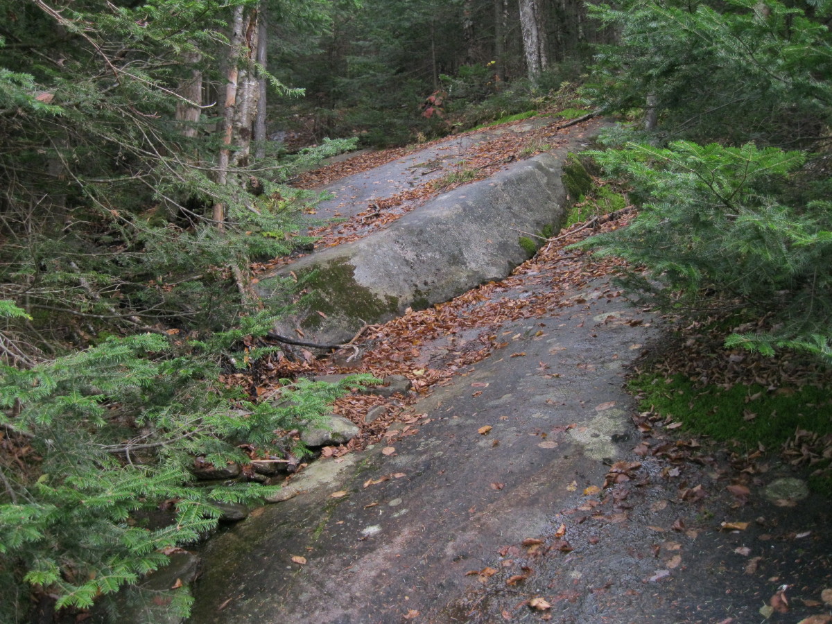
The Ranger Trail crosses many ledge slabs as it climbs steadily to the Lambert Ridge Trail junction. Though many of these were wet, my worn boot soles gripped fairly well.

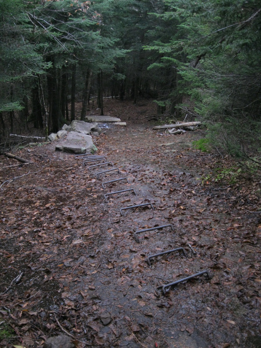
This nasty, steep, wet slab above the Lambert Ridge junction used to present a bit of a challenge, especially on the descent. Fine work performed by the DOC trail crew in 2009 has made passage up this slab easier and safer. Walking up the iron rungs at the top was like using the televators on MSR snowshoes.

There aren't a lot of views on Smarts away from the tower, but there is a good vista south over Reservoir Pond from the Smarts Mountain Tentsite, located towards the west end of the broad summit crest.

The log seat on the right side of the picture provided a nice spot for a lunch break.

The summit ridge of Smarts has perhaps the southernmost boreal fir forest in New Hampshire.

On to the tower, which was built in 1939 and staffed through 1973. In 1994 it was refurbished by DOC with funding from the US Forest Service. It now serves as an observation perch for hikers.


On a chilly, windy day, the enclosed cab of the tower was an excellent place to enjoy the panoramic views in comfort. Most of the glass panes are intact, and a couple of the windows tilt open for better visibility. Below is a window view on Mt. Cube to the north.

A closer look at Cube.

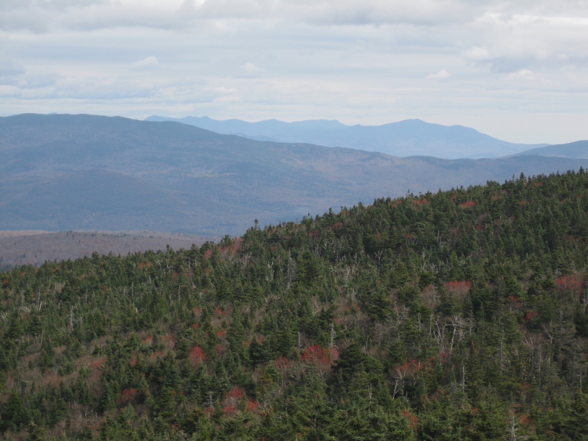
Though the promised sun made only an occasional cameo, visibility was quite good this day, allowing for remarkable far-reaching views from the tower. In Vermont, I could easily see Camel's Hump, Ellen/Abraham, Killington, Dorset Peak, Stratton, and possibly even the tip of Equinox.
In this photo, Mt. Clough and Mt. Moosilauke are seen to the NE beyond the northern "J Trail" ridge of Smarts and Black Hill, a neighbor of Cube.

The Sandwich Range off to the east, with Carr Mountain on the L.

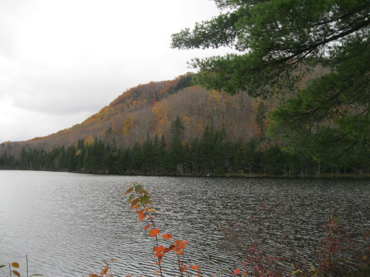
South over Reservoir Pond, with Sunapee Mountain on the horizon.

Mt. Cardigan, Cummins Pond, Mt. Kearsarge and a shoulder of Smarts, to the SE.

My favorite view is looking down at Lambert Ridge, the Grant Brook valley, and the hills beyond.

Being a little indulgent here...

A rare break of sun lit up the little dome of Sunday Mountain to the NW, a little-known summit along the Cross-Rivendell Trail.

Before heading down over Lambert Ridge, I wandered about 0.3 mi. along the J Trail, which traverses the broad summit crest, including an eastern knob about the same height as the fire tower knob.

Coming down the steep slab above the Lambert Ridge/Ranger junction -- a unique sequence of iron rungs and rock and wooden staircases.

Heading across a broad shoulder towards Lambert Ridge, through a magical hardwood forest with its understory aglow.


Love the quartzite ledges on Lambert Ridge.

The classic view of Smarts from the Lambert ledges. If ascending, you're just halfway there.

Looking east over the Grant Brook valley.

There are many ledges on the way down Lambert Ridge. From this one, you see south to Holts Ledge and Moose Mountain.

The trail winds through a ledge-meadow.

From the cliff at the SE end of the ridge, the late foliage - mostly oak - was a colorful surprise.

A marvelous quartzite perch.

This DOC trail, laid out by Bob Averill (editor of the two-volume
Moosilaukee Reader) in 1986, is one of the finest segments along the AT in New Hampshire.

Evening sun on Winslow Ledge, from the last viewpoint on Lambert Ridge.

Last sun before the switchbacking hardwood descent to the trailhead. This terrific loop over Smarts is 7.5 mi. long with 2400 ft. of elevation gain. For more than you ever wanted to know about Smarts Mountain, click
here.

 The Cross-Rivendell Trail traverses Sunday Mountain from east to west. I did the full traverse a few years ago, but today's hike was an up-and-back from the eastern trailhead. There is ample parking at a well-marked area off Dame Hill Rd., just in from Rt. 25A.
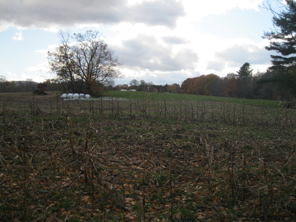 This old piece of farm machinery resides along the edge of the trail.
 After passing more fields, the well-blazed trail rides this nice old woods road, then turns into a footpath and climbs up the mountain on long, easy-graded switchbacks. It is a well-constructed route, much of which was laid out by former Dartmouth Outing Club manager David Hooke.
 At 1.6 mi., elevation 1500 ft., and shortly after entering an unusual oak forest, the trail turns right at a ledgy spot with a finely framed vista of Mt. Cube. Here an oak leaf sails across on a light breeze.
 A few steps down from the trail is an interesting view of Smarts Mountain and its long north ridge.
 From here to the summit the trail meanders up through a beautiful oak forest.
 Last foliage of the season.
 There's a junction with a spur trail not far below the summit.
 Another peek at Smarts on the way up to the summit.
 At the final L turn on the summit spur, a window view on Mt. Moosilauke is presented on the R.
 The summit is a wooded, ledgy knob.
 Nice summit sign.
 On the way back down, late afternoon light on Mt. Cube...
 ...and on Smarts Mountain. I am a confirmed devotee of Smarts, and I think this may be the best of all views of that impressive mountain, seen from just the right distance and perspective.
 The hike to Sunday Mountain is 4 mi. round trip with about 1000 ft. of elevation gain (including 100 ft. on the return trip). The Cross-Rivendell site has a detailed description of the trail.