A snowshoe bushwhack into the basin between Scar Ridge and Black Mountain, out to the lower part of the eastern slide on the north face of Scar Ridge. In January 2004 I had been out to this location while taking part in a nighttime rescue of an injured bushwhacker. I finally returned to see what the area looks like in daylight.
The approach to the whack was made on the Serendipity XC ski trail, part of Loon's modest nordic network. The trail was not yet open for the skiing season.
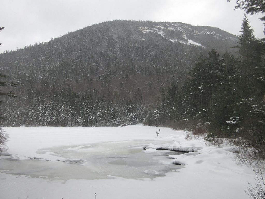
Morning flurries obscured this view of the East Branch and Potash Knob.
Along the Hancock Branch.
These abutments were part of a truck bridge over the Hancock Branch built in the early 1950s by the Franconia Paper Co. to service a large logging operation on Black Mountain. This was originally the site of a trestle used in the1890s by J.E. Henry's East Branch & Lincoln Railroad to access the first Camp 13.
The nameless brook that drains the basin between Scar Ridge and Black Mountain.I would follow this stream up into the valley.
An old logging road provided a route partway up into the basin.
At a stream confluence I scrambled up a steep spruce-clad hogback, where I could see down to the main branch of the brook.
Several stretches of the bushwhack were bedeviled by hobblebush.
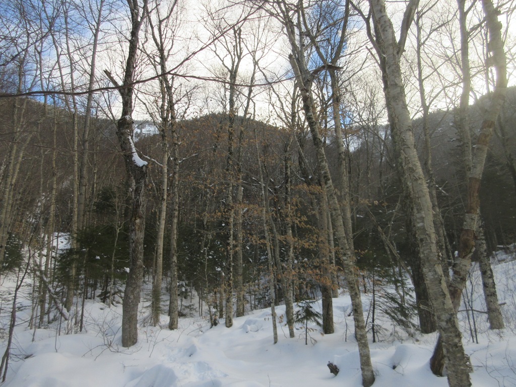
Farther up the valley was an area of fine open hardwoods that I remembered from the nighttime journey.
Beech saplings along a trace of another old road.
A nice wide section of the brook.
Farther up the valley the brook divided again. The left fork would lead up to the base of the slides.
More hobblebush.
This is mid-November? In the upper valley there was a good foot of snow, making for slow going.
Luckily the terrain was fairly gentle until the final approach, with only a minimum of steep sidehilling.
An inner sanctum, approaching the point where the tracks from the eastern and western slides meet.
Starting to look "slidey."
Following the track from the eastern slide.
Some slide debris blocked the way, necessitating a bit of delicate snowshoe maneuvering.
Looking back down the long corridor.
Approaching the base of the slide proper, and the open area that was my destination. Thanks to the trail-breaking, it took about four hours to get here.
Heavy breaking along the edge of the slide.
Reaching the target open area.
This would be a nice cascade in summer.
A long view up the slide track. Today it was a mix of snow, ice and running water. The large upper ice flows of the east slide could just be glimpsed through the treetops. In deep winter the Scar Ridge slides are very occasionally ascended by ice climbers willing to undertake the two-mile bushwhack to the base - a true winter mountaineering adventure.
After a gloomy, foggy morning, there was some clearing in the afternoon, revealing the long ridgecrest of Black Mountain.
Hidden seemingly inaccessible crags on the flank of the ridge.
The summit of Black Mountain, made somewhat more famous by the Black Mountain Burger eatery in Lincoln.
View from the middle of the slide.
Looking up from the west edge.
Close by to the west were high, wild crags on a shoulder of Scar Ridge.
Wonder if anyone's been up there recently, if ever.
On the descent, looking back at the upper amphitheater of the valley, with the icy tops of the eastern and western slides seen on the left and right, respectively.
Following my tracks.
The major western branch of the brook, which flows down from the Scar Ridge/Loon Mountain col.
On the middle part of the descent I took a different route through open hardwoods, avoiding a bad area of spruce and hobblebush I encountered on the way up.
A random massive boulder in the woods.
Google Earth screenshot of the valley between Scar Ridge and Black Mountain.
Google Earth screenshot of the Scar Ridge slides. I went to the bottom of the left, or eastern slide. Many years ago two friends and I dropped down off the ridgecrest to the top of the right, or western slide after coming up the Mack Brook slide on the south side of Scar Ridge. There we found phenomenal views down into the valley and out to the Pemi Wilderness. The western slide seems to be the one that is occasionally ice-climbed. Last summer uber-hiker Jason Beaupre and friends ascended both the western and eastern slides on separate treks to the summit of Scar Ridge. These slides are fairly old, as they were mentioned in a report by AMC explorer Warren Upham in 1877. Upham lost a hammer while collecting rock specimens from the top of one of the slides in 1871. The slides are prominent, especially in winter, when looking south along the East Branch in the Lincoln Woods area.