Friday, December 30, 2011

FORT HILL TRAIL, CAPE COD NATIONAL SEASHORE: 12/26/11

One of our favorite walks when visiting family down on Cape Cod is the Fort Hill Trail in Eastham, which for an easy ramble offers some of the nicest scenery on the Cape. We usually start at the trailhead parking area on Fort Hill Road.


Unfortunately, the neat part of the trail that leads through a red maple swamp was closed due to some kind of problem with the boardwalk.


The Outer Cape was originally inhabited by the Nauset Indians, who cultivated the rich soil and reaped the bounty of marsh, pond and bay. The first white settlers arrived in the 1600s, and around 1672 the Fort Hill area became the property of Rev. Samuel Treat. Over the years these gentle slopes were converted to agricultural use - corn, rye, pasture and hay fields. Today the National Park Service continues to maintain these as open areas.

Looking back at the parking area atop Fort Hill, which tops out at a bit over 40 ft. above sea level.

An old stone wall, perhaps dating back several centuries.

The peaceful setting around Fort Hill - though the fields are infested with ticks during the warmer months.

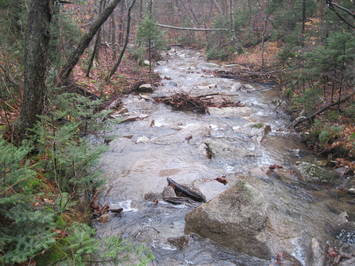
The trail meanders along the edge of Nauset Marsh. There are a few glacial erratics scattered through here, neglected to get any photos of those.

From the top of Fort Hill, a view across Nauset Marsh towards the Eastham Coast Guard Station. The late afternoon sun illuminates the marsh with what is often called "Cape light."

Looking out towards the Atlantic, with the south end of the Coast Guard Beach spit on the left and the north end of the Nauset Beach spit on the right.

Birdwatchers scanning the marsh and cove for ducks.


Sun lighting up the Coast Guard Station.

The trail down the grassy back side of Fort Hill.

The trail winds through brushy woods.

Near the trailhead you emerge by the Captain Edward Penniman house, built in 1868 by an Eastham whaler who sailed several times around the world.


A whale jawbone marks one of the entrances to the yard.


From Fort Hill we drove a short distance farther north in Eastham for a quick visit to the Coast Guard Station overlooking Coast Guard Beach. This place is mobbed in the summer, but there were only a few people around today.

A short walk down from the parking area opens a view south along Coast Guard Beach and breakers rolling in off the Atlantic. This is a great time of year to visit the Cape!


Friday, December 23, 2011

LINCOLN WOODS: 12/22/11

Strange first day of winter, sunny and in the 40s after a freezing rain event the previous day. Took a morning stroll on the Lincoln Woods Trail, starting off across the familiar bridge, wearing Stabilicers for the icy trail conditions.


View north from the bridge towards a spur of North Hitchcock.


A new trail sign made of some sort of composite material.


A small trailside cascade.


Major washout from Irene, about 0.75 mi. up the trail.


View across East Branch from the washout.


Early ice forming on Osseo Brook alongside Lincoln Woods Trail.

Nasty ice from the freezing rain.

View of the Hitchcocks from a high, washed out bank on a spur path across from the Osseo Trail junction. If you go here, be sure to stay well back from the edge of the bank.


Why you need to keep back from the edge - severely undercut!

Start of the Osseo Trail.

I walked up the first gentle 0.2 mi. of the Osseo Trail, which meanders gently through hardwoods along Osseo Brook. This trail is admirably maintained by dedicated adopters Fisher Cat and Forester Jake.

A bend in the brook.

On the way back on Lincoln Woods Trail, I checked out a great new view of Bondcliff opened up by Irene, located off an obscure side path.

Cool map on the trailhead kiosk.


Peakbagger extraordinaire Ed Hawkins & crew were out bagging Owl's Head on the first day of winter. Conditions have changed today (12/23), as several inches of snow have fallen.

Friday, December 16, 2011

SHORT DECEMBER HIKES...

...in a nearly snow-free first half of the month.

#1) PEMI TRAIL

A pleasant three-mile loop in Franconia Notch from Lafayette Campground to Profile Lake, returning via the bike path.


About 0.3 mi. north of the campground the Pemi Trail passes by beaver meadows with neat views up to the Cannon Cliffs. What a wild scene this would have been before there was a road through the Notch.
The Pemi Trail provides mostly nice easy walking, the downside being the constant roar of traffic from the adjacent Franconia Notch Parkway (I-93).

The Pemigewasset River, a short distance south of Profile Lake.


Beaver dam at Profile Lake outlet.

Profile Lake from the west shore.

Eagle Cliff looms through the mist.

Looking up at Eagle Pass, the deep cut between Eagle Cliff and a western shoulder of Mt. Lafayette.

Looking SE to the Old Bridle Path ridge.

Nearly full view of Eagle Cliff.

This boulder broke off from the Cannon Cliffs in 1997 and came to rest right at the edge of the bike path.

No one else was on the bike path on this dreary midweek day.


Misty view of a beaver meadow.


#2) FOREST DISCOVERY TRAIL

This graded gravel path provides an easy 1 1/2 mile double loop, with a bit of climbing, off the Kanc Highway next to Big Rock Campground. Along the way are a number of Forest Service interpretive panels about forest ecology and various timber harvest techniques.

The scenic highlight is near the high point of the trail, where there is a neat view of the Osceola Range from a brushy clearcut opening.

The main summit, with the Split Cliff seen below and the top of the huge 1995 dogleg slide visible on the right.

East Osceola, an interesting-looking peak from this angle.

A view of part of Scar Ridge, with the main summit on the R and sharp Middle Scar in the center. The bump to the L of Middle Scar has an excellent outlook ledge looking SE, well worth the short detour for bushwhackers traversing all the Scar Ridge peaks.

A loop off the main part of the Discovery Trail leads across a bridge over a small brook and through a softwood area.

One of the interpretive panels along the Discovery Trail.


#3) BALCH HILL

This 956-ft. hill, which has an open grassy top, is contained within a small Natural Area just outside of downtown Hanover. It has a fairly extensive trail network and is a favorite local walk. I did a quick one-mile loop over the summit from a parking area at the junction of Grasse Rd. and Trescott Rd.

The Grasse Road Trail provides an easy route to the top.


At the open summit there's a single tree, and when I arrived there was a Dartmouth student seated on a bench reading a book. Looks like a very peaceful spot for a snooze on a warm summer day.

The primary view is to the west. You can see Killington and Shrewsbury Peaks peering over the nearer ridge, but they are not visible in this picture - too hazy.

Mt. Ascutney can be seen through a gap in the trees to the SW.

Looking east through another gap, South Moose Mountain, on the outskirts of Hanover and traversed by the Appalachian Trail, is visible.

A neat tree-lined stone wall along the trail.

After the short hike, Carol and I took a stroll around downtown Hanover, walking across the beautiful town common.

We also visited the offices of the Dartmouth Outing Club in Robinson Hall. The place was pretty quiet as the students were gone for Christmas break, but we had a nice chat with the lady in the office and walked around the halls, absorbing a bit of the DOC mystique. The Appalachian Trail passes by along the streets just south of here, but I forgot to get a photo of a white-blazed light pole!