
It seemed fitting to climb a slide on the date that was both the 197th anniversary of the famous Willey Slide and the 12th anniversary of the slide-maker known as Tropical Storm Irene. For the destination I chose a slide on the SW flank of Mount Carrigain, overlooking the valley that leads up to The Captain, the cliff-faced nubble that lurks between Carrigain and the steep-ended eastern ridge of Mount Hancock. A visit to this particular slide was also an anniversary of sorts, for in August 1988 a group of us had cut across the upper part of the slide on a bushwhack to Carrigain Pond and Mount Carrigain. This time I wanted to actually climb the slide.
This week Sawyer River Road was closed for repairs above the Signal Ridge trailhead, so I opted for a scenic approach from the Kancamagus Highway via the Sawyer River Trail. A short distance in from the road the trail passes this picturesque cascade on the Swift River.

After crossing the river on rocks, the trail enters and follows the bed of the Sawyer River Railroad, providing some of the smoothest footing of any White Mountain trail.

The trail leads through an extensive area of wetlands on a plateau between Mount Huntington and Green's Cliff. In this photo an eastern ridge of Huntington is seen from a snowmobile bridge over Meadow Brook.

Easy walkin', though in the morning your boots may get wet from morning dew on the grass.

Green's Cliff seen across another wetland.

Remnant pieces of rail.

At 2.6 miles I turned left for a short stint on the Hancock Notch Trail.

I put on my Crocs and forded the Sawyer River...

...and did a short bushwhack to join FR 86, which leads well up the valley towards The Captain. Like the railroad grade section of Sawyer River Trail, the lower part of FR 86 is a snowmobile trail in winter.

The improved road/snowmobile trail ends at this large clearing with an interesting view of Mount Carrigain and two humps of Signal Ridge.

Here there is a snowmobile 9-1-1 sign. Apparently this could be used as a helicopter landing zone.

From the far end of the clearing there is a view back to peaks of the Sandwich Range.

Beyond the clearing my route continued on the more primitive FR86A.

From a small opening I had a first glimpse of The Captain.

Over the years backcountry rock climbers have created an unofficial path that continues up the valley beyond the end of FR86A.

Along the way I made a short bushwhack to a ledge I had spotted on Google Earth.

Surrounding trees limited the view from the top of the ledge, but I could see up to part of the wild eastern extension of Mount Hancock.

The woods in this valley seem to be generally scruffy and scrappy. The Forest Service made some massive clearcuts out here in the 1970s and in many places the forest is still recovering.

The climber's path crosses and recrosses the nameless brook that drains the valley.

The path also ducks in and out of dry streambeds several times, with plenty of opportunities to get "misdirected" out in this remote area.

Another section of streambed.

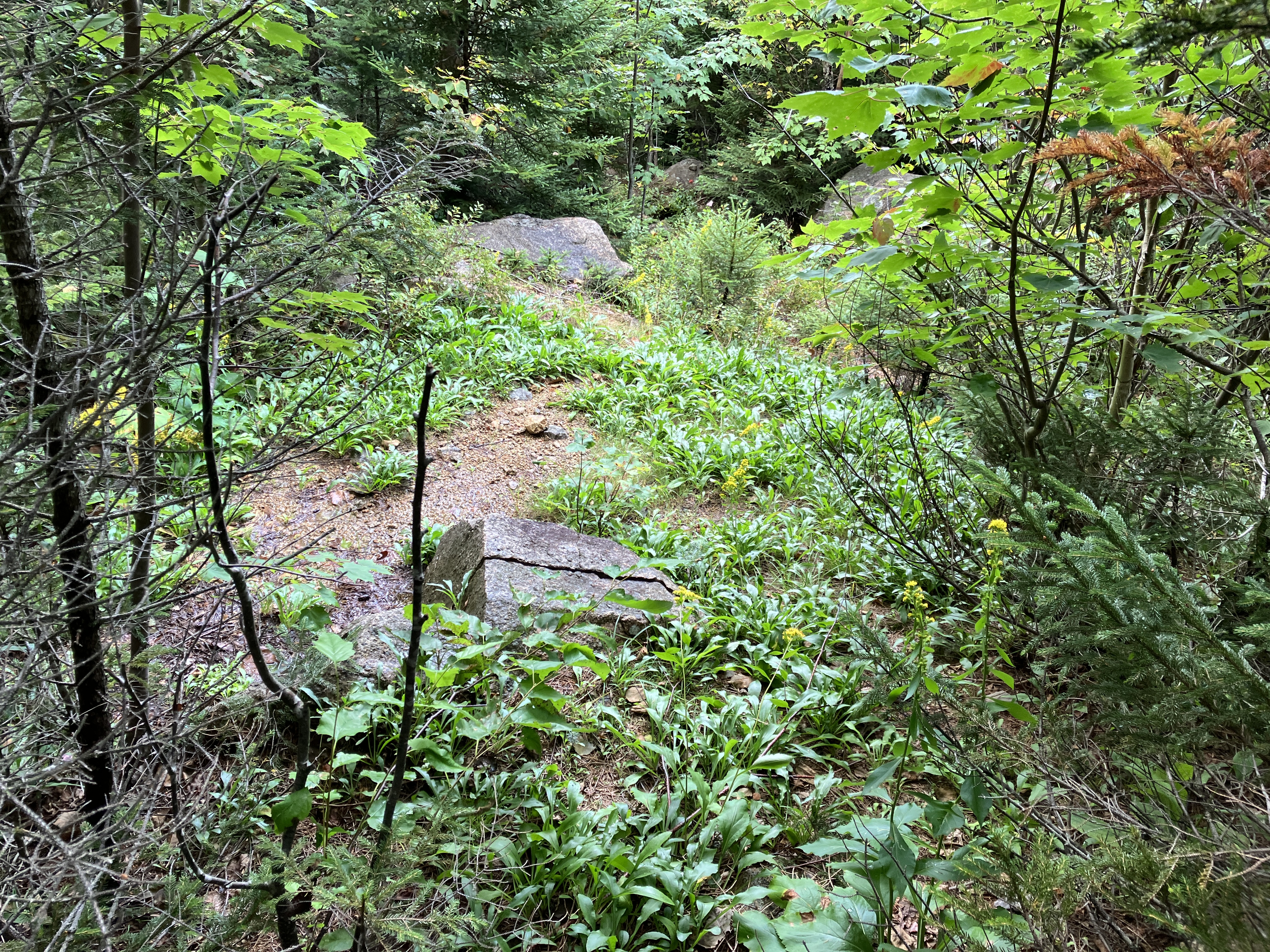
A favored climber's camping spot is located at the base of the slide.

A perusal of USGS aerial photos suggests that this slide fell sometime between 1960 and 1974. Since then, its lower half has become densely revegetated. I tried following the track up, but it was crammed with thickly woven spruces dripping from the previous night's rainfall, so I took to the somewhat more open woods on the side.

Starting to look more "slidey."
Reached the open part of the slide, with a cliff band looming high above.

Looking back at the dark and forbidding eastern wall of Hancock, a formidable obstacle for anyone attempting a Hancock to Carrigain traverse.
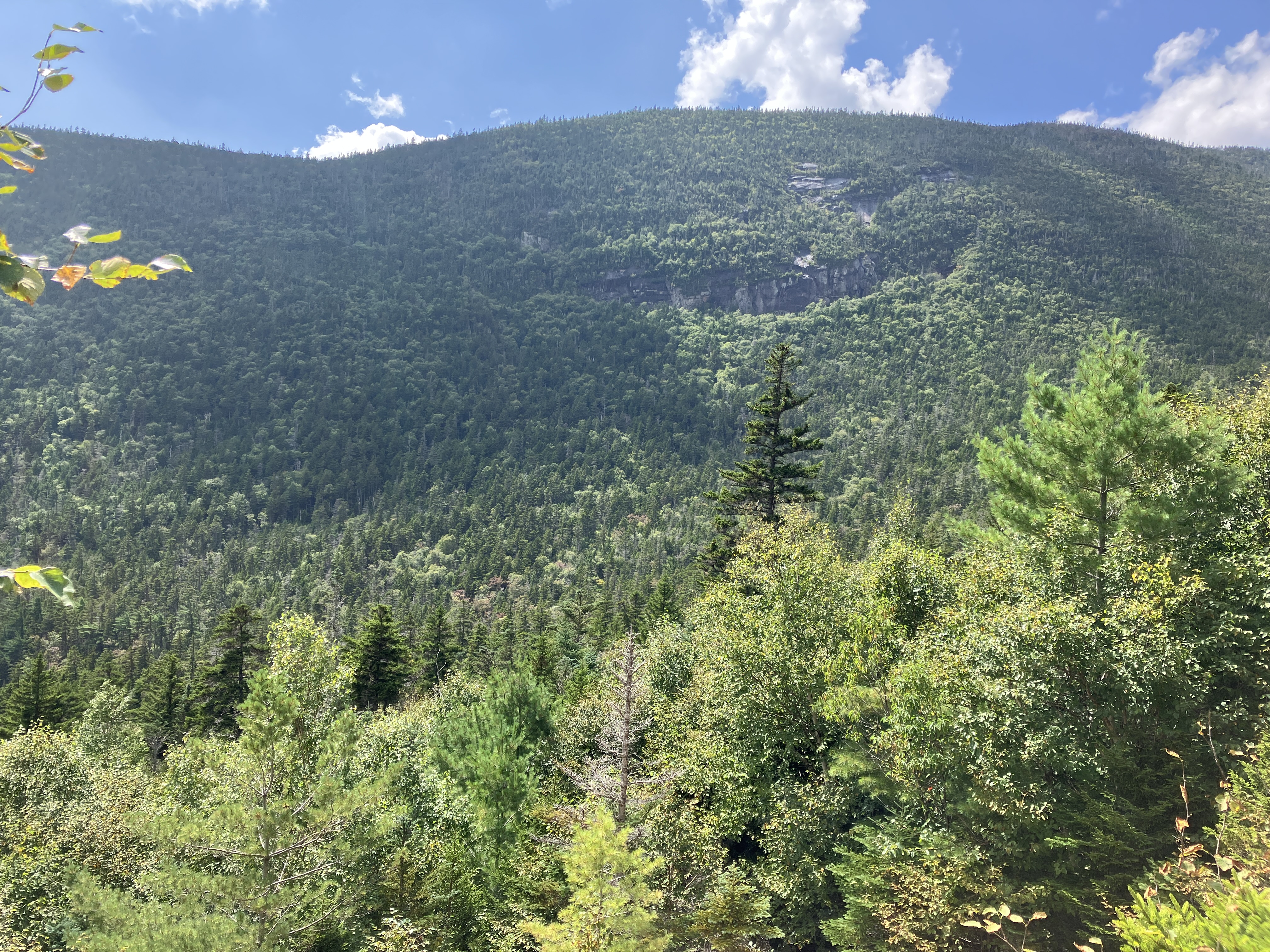
The slide provides perhaps the best of all angles on The Captain and its great south-facing cliffs. To the left of The Captain is its seldom-visited col with the eastern end of Mount Hancock.

The Captain was named in the 1870s by members of the White Mountain Club from
Portland, ME (the earliest of the White Mountain hiking clubs, though
short-lived), who specialized in exploring the Carrigain region. It is indeed a sort of miniature version of Yosemite's El Capitan.

Looking south to Mount Passaconaway.

Heading up the gravelly slide after a long lunch break in the sun.

Farther up the slide, approaching a headwall of steep ledges.

I was able to scramble up the first small ledge barrier of the headwall.

The next barrier was, for me, unclimbable.

Now that's a wall.

To bypass the wall I made a steep and thick bushwhack through the woods on the south side, emerging briefly at the edge for a view across to The Captain.

On our 1988 bushwhack to Carrigain Pond, we crossed one of these little shelves on the headwall, which looked a little sketchy to me on this return visit 35 years later. That's Roger Doucette taking in the view out over the valley.

I continued up through the dense scrub to get above the top of the headwall.

Made it!

From the upper end of the slide I looked out to the high peaks of the Sandwich Range.

Passaconaway, Whiteface and North Tripyramid.

Late summer had brought a goldenrod festival to the slide.

In the late 1950s researcher Edward Flaccus recorded several species of goldenrod as frequent colonizers of slide habitat.

A mini-headwall at the top of the slide, elevation 2840 ft.

After another break, heading back down...

...carefully.

Back into the thick of it to get around the headwall.

Descending the more comfortable lower part of the slide.

Farewell look at The Captain.

Wild spruce forest along the climber's path.

Fresh sign from a local resident.

Rain clouds gathering over Mount Carrigain.
