
A cool, sunny spring day was ideal for a re-do of a bushwhack I did on
Mt. Paugus in 1996, visiting the northeast spur and then a wild
cliff-faced knob farther south along the ridge. It was a memorable day,
one during which I saw how both the woods and the hiker have changed over
two decades.
This
photo shows the NE ridge of Paugus, seen the previous week from a ledge
on the west shoulder of Mt. Chocorua. The northeast spur (2724 ft.),
known as "Northeast Paugus" to NH 300 Highest peakbaggers, is on the
right, and the cliff-faced knob (2820 ft.) is on the left.


Pleasant walking along Twin Brook along the lower part of the Bolles Trail. The trail crosses the brook 11 times in each direction, plus a tributary, but normally the crossings are easy.

The trail takes on a wilder aspect higher up in the valley.

After 2 miles and 1000 ft. of climbing, the trail reaches the broad, flat height-of-land between Mt. Paugus and Mt. Chocorua. My notes from 1996, at age 42, indicate that I reached the top of the climb in 45 minutes. In 2006, it took 56 minutes. In 2018, the time was 1 hour, 10 minutes. There's a trend here.

This small ridgetop wetland is nestled just east of the trail on the height-of-land.

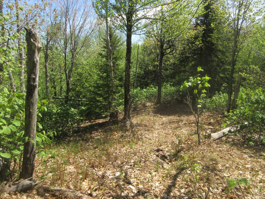
The start of the bushwhack entailed a steep climb up the west side of the pass.

I crossed a wild wooded plateau above the pitch.

There were some nice glades higher up on this eastern shoulder.
My
first objective was a series of clifftop ledges on "Northeast Paugus"
that offer a fine view of Mt. Chocorua. As I remembered from previous
trips here, there were some open spruce woods (as seen below) on the
south end of this spur. But I soon ran into spruce thickets and nasty
blowdown that had been noted by peakbagger Brian Bond on a trip a week
earlier. I pushed through it for a ways, but it
was becoming a time and energy sink, and I had been here several times
before. The knob farther south along the ridge was the day's main
objective, so I turned around. Later my GPS track showed that I was only
40 yards from the summit highpoint and 90 yards from the first view
ledge, though the best view ledge is 0.1 mile farther north.

This
is the view of Chocorua and the Three Sisters from the Northeast Paugus
ledges, taken on my last visit in 2006. The woods on this spur had
become appreciably less friendly in 12 years.

I headed south along the ridge...

....descending eagerly towards a col that my notes from 1996 stated was "an absolutely lovely open glade of birch and hardwood." Well, the 1998 ice storm and subsequent weather events took care of that. The col is now a daunting tangle of head-high hobblebush as far as the eye can see.

Oh, my!

A few nice open spots remained as I continued up the ridge, but they didn't last long.

This kind of going was more the rule as I continued up to the SW.

The week before, peering from a ledge on Chocorua, I had spotted a conspicuous patch of low green growth high on the ridge. I took a waypoint for it, as I was curious to see whether it resulted from a blowdown or a small forest fire. I could see the opening ahead as I approached through the woods.

It is indeed a significant blowdown patch in the spruces. Measured on Google Earth, it's an acre in extent. It shows up on Google Earth images as far back as 2003.

After traversing a rough and densely grown col, I climbed steeply up the east side of the 2820-ft. knob, through spruces that became open higher up.

After
some searching I located clifftop ledges on the west side that I had
often looked at from Hedgehog Mountain, Mt. Passaconaway, and other
viewpoints in that direction.

From
the brushy top of the cliff, perched above a remote upper branch of
Oliverian Brook, there was a fine view past a Paugus spur to those
mountains farther west along the Sandwich Range.

One of the best views I've seen of Mt. Passaconaway, with Middle and North Tripyramid behind.

Hedgehog Mountain, with the East Ledges very prominent, in front of Potash Mountain and Mt. Kancamagus.

Across the Albany Intervale to Mt. Huntington, Franconia Ridge, the Hancocks, West Bond and Mt. Bond, Green's Cliff, and Mt. Carrigain.

The wild, darkly wooded mass of Mt. Paugus itself rose nearby to the SW.

Next I climbed to the flat top of the 2820-ft. knob, where the spruce woods were quite open.

I descended steeply to the upper edge of the huge, curving granite slab that scars the south face of the knob.

This is the knob and slab seen from across the Paugus Brook valley, taken from a ledge on the west shoulder of Mt. Chocorua.

A dizzying dropoff below.

A view-bagging moose had been here.

How did a moose get down through this? And where did it go from here?

The slab opened a wide view over the Paugus Brook valley, awash in pastel spring greens, and out to distant southern horizons.

The view was even better with Mt. Chocorua added in.

A closer look at Chocorua and its ledgy west shoulder.

The ledges I visited a week earlier.

An ominous spur of Mt. Paugus nearby to the south.

Heading back along the ridge, which seemed to have blowdown everywhere. This spot was nature's version of pick-up sticks.

Chocorua's cone, seen from the one-acre blowdown patch.

More good fun.

A good-sized moose bone.

Trying to find a route with better woods on the way back, I instead ended up with a long stretch of this.

And then the hobblebush.

I chanced upon this open glade that I had noted in 1996, carpeted in part with bellworts. This spot was still the same, but overall my impression was that the whack had become significantly thicker over the years. In 1996 I was back to my car in two hours from the top of the big slab. On this trip it took 3 1/2 hours. Some of that difference may be attributed to an older, slower bushwhacker, but much of it was the more time-consuming woods. This has been a long report - thanks for reading!


