
The forecast changed for the better on this Friday, so I played hooky and headed down to Breezy Point, the scenic trailhead on the SE side of Mount Moosilauke, for a trail-and-bushwhack loop over three southern spurs of the Moose: Hurricane Mountain, Chokecherry Hill and Bald Hill. The views on this loop were limited, but there were many interesting sights and the woods along the way ranged from heavenly to heinous.
The upper 0.4 mile of Breezy Point Road was washed out by the October 2017 storm, and it appeared that the December 2023 rainstorm finished the job. Holy cow! Driving to the former trailhead is out of the question.

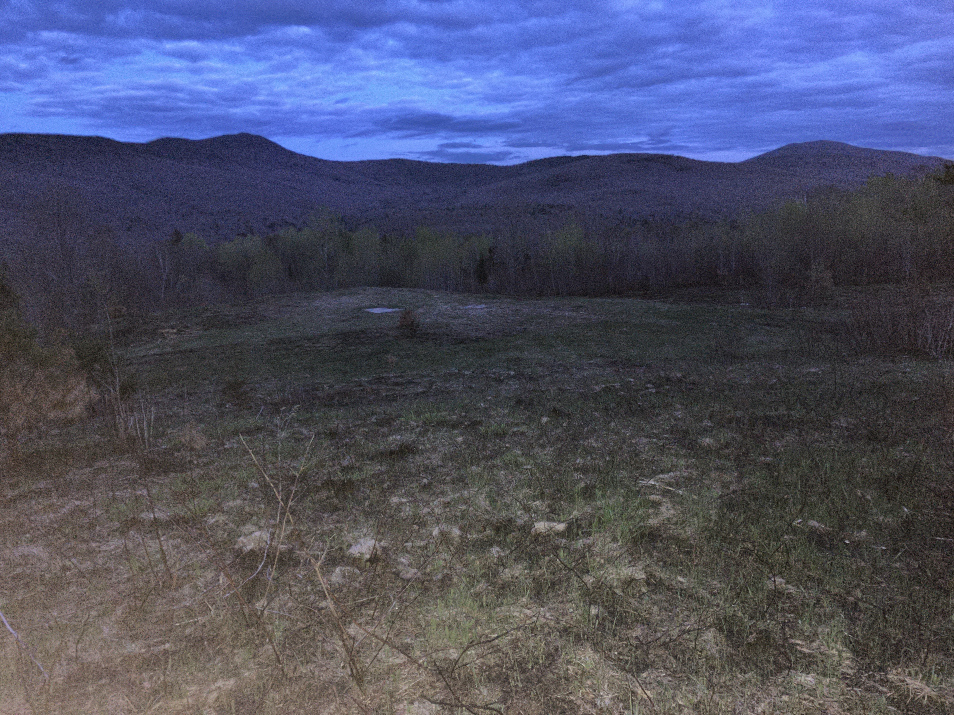
Breezy Point is one of the most scenic
trailheads in the White Mountains. The open fields of Breezy Point were
once home to resort hotels known as
Merrill's Mountain Home (1860-1915), the Breezy Point House (1877-1884)
and the Moosilauke Inn (1885-1953). From
the 1950s-1980s, a smaller motel-like complex was located here. There
was also a nine-hole golf course.This tract was added to the WMNF in
1991, and the fields are kept open by the Forest Service. There was evidence of a recent Forest Service prescribed burn. The fields provide good views of Carr Mountain...

...and Mount Kineo. This is also an excellent birding location, and various songsters were tuning up for the breeding season as I walked across the fields.

The actual trailhead for the Moosilauke Carriage Road is a 0.4 mile walk up from the parking pulloff at the start of the road washout.

The site of the inn known as Merrill's Mountain House or Merrill's Mountain Home, is a short distance up the Carriage Road. A foundation is located just to the left of the trail, along with a stone well. Operated by the Merrill family from the 1860s until 1910, it could accommodate about 35 guests. Merrill’s was a homey hostelry, lacking the pizazz and social status of the larger Breezy Point House and its successor, Moosilauke Inn, just down the slope. In 1880 the weekly double occupancy rates at Merrill’s, including room and board, were $5.00 for ladies and $6.00 for gentlemen; the daily transient rate was $1.00. Amos Merrill would meet guests at the railroad depot in Warren and drive them back for seventy-five cents; a wagon ride to the summit of Moosilauke cost $2.00 apiece. By 1902, the daily rate at Merrill’s was up to $1.50, and the weekly rate was $7.00 to $10.00.The inn succumbed to fire in 1915, and the site is now wooded.

Another foundation is on the right side of the trail. I placed a geocache here in 2015. It isn't logged very often, but is in good shape and ready to be found.

Red Trilliums were blooming in front of the foundation.

A little farther up the Carriage Road was lined with blooming Trout Lilies.

A bashful quintet.

Sessile-leaf Bellwort (Wild Oats) side-by-side with Trout Lily.

At 1.7 miles from the parking area I turned left onto the Hurricane Trail to climb to the crest of Hurricane Mountain. The DOC sign-maker was presumably not an English major.

Not far up the Hurricane Trail is a clearing marking the location of Camp 1 of the William R. Park, Jr. logging operation of the early 1900s on the SE side of Mount Moosilauke. According to J. Willcox Brown's Forest History of Mount Moosilauke, this camp was built about 1900 from boards and tar paper, and housed about 50 men. Logs were hauled out by horse-drawn sled down the Carriage Road.

The camp was located beside Big Brook.

There are a few artifacts strewn about this site. Not sure what this was in its former life.

Possibly a piece from a stove.

Like many trails in the Whites, Hurricane Trail has suffered erosion from prodigious rainfalls in recent years. The main 2 ½ mile section of this trail over the ridge was cut as a twenty-foot-wide ski trail in 1935 by DOC axemen, led by A.A. Titcomb ’36, to link Glencliff Trail and Great Bear Cabin with the Carriage Road and Camp Misery Shelter. The section of trail across the ridge was temporarily abandoned during World War II, but it was reopened by DOC in 1947. In 2015-2016 the DOC trail crew made major improvements, including drainages, turnpiking and relocations, on this section of the trail.

A footbridge over Little Brook, which is indeed pretty little up here.

Hurricane Trail is lightly used, wild and primitive.

At ~3000 ft. it runs across the broad, mossy crest of the ridge.

Just east of the nubbly little summit of Hurricane Mountain (3015 ft.), a DOC spur trail, opened in 2016, runs south to a small view ledge.

It's a humble view, but a nice one.

Mount Kineo on the left, Stinson Mountain in the middle, and Carr Mountain on the right. Close in on the right is Chokecherry Hill, my next destination, about 0.6 mile down the trailless ridgecrest.

I skipped the actual summit of Hurricane Mountain, having been there before, and started whacking south along its east side. I was surprised at how rugged the terrain was here - the east side of the summit nubble is a long rock wall.

I was happy to escape from that terrain trap.

Evidently there is a healthy moose population on this ridge. Didn't spot any antler sheds, though.

I had done the Hurricane to Chokecherry traverse once before, in 2014. It seemed significantly harder this time thanks to copious blowdown. Lots of weaving required.

A glimpse back to the South Peak of Mount Moosilauke.

For a while the woods opened up.

Blowdown and rough terrain returned as I approached Chokecherry Hill, and the 2971-ft. summit was chaotic, as seen here.

It took some maneuvering to get out of this mess.

And then, heading down the SW side of Chokecherry, I was suddenly free to roam at will. These woods were similar to the wonderful whacking woods in The Kilkenny.

I was soon down to the marvelous open hardwood glades that top out at 2800 ft. I have visited these glades several time over the last decade, just to walk through them. These two old yellow birches are the guardians at the top of the glades.

This gnarled yellow birch has seen many winters.

The open glade is mainly populated by sugar maples.

The glades stretch far down the slope.


No comments:
Post a Comment