
On a hazy, hot and humid day - unusual for May - I headed up the Gorge Brook Trail on Mount Moosilauke to visit two old slides on the west side of the ravine. The views from these slides are mostly local, well-suited to a hazy day with limited visibility. In addition to views, I wanted to check on the presence of white pines on these slides, an informal study I've been conducting over the last couple of years.
I had a near crack o' noon start due to errands and waiting for the woods to dry out from morning showers. The sun was out in full force by the time I got to the Ravine Lodge and looked up at Moosilauke's South Peak.

This way.

The Dartmouth Outing Club (DOC) maintains some great bridges.

I love walking the relocated (2012) section above the junction with the Snapper Trail. Easy grades, good footing and wide open woods.

Somewhere in this section I headed off-trail towards the southernmost of the six old slide tracks on the west wall of Gorge Brook ravine. As I remembered from two previous visits, these were "good woods" for bushwhacking.

It doesn't get much better than this.

Before heading to the small, overgrown slide I checked out an open blowdown patch that was visible on a satellite photo. Lots of sun pouring in, but no views.

The slope was steep on the approach to the head of the old slide.

The last remaining open patch at the top of this slide is crammed with small spruce and fir. Kind of hard to see what you're stepping on, and rocks beneath the dense cover were damp and slick.

There are at least a half-dozen white pines mixed in with the spruce and fir on the upper part of the slide. The white pine is a "pioneer tree" that can seed in to a disturbed habitat such as a landslide. The question has been, how did the seeds arrive here, a long distance from the white pine's normal home range at lower elevations.

Only a few small spots of open rock remain from when this slide fell many years ago, most likely in a 1942 rainstorm.

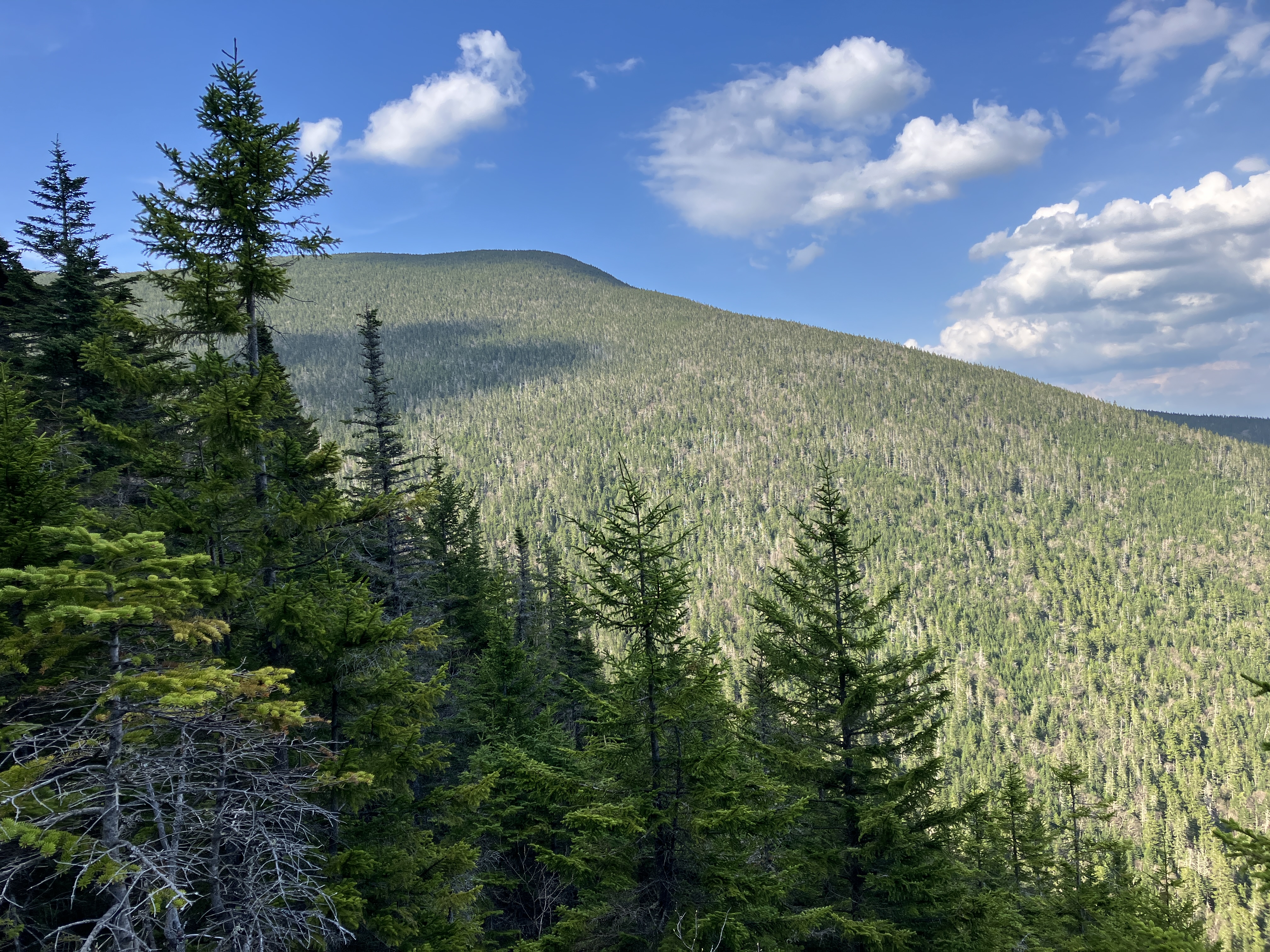
The dense growth is low enough that there are still good views of Moosilauke's Blue Ridge (consisting of Sayre Peak, Mt. Kirkham and Mt. Braley) across the broad valley where Gorge Brook and the Baker River meet.

From the uppermost corner I could spot Dartmouth's Ravine Lodge on the floor of the valley, under Sayre Peak. Mount Cushman rises beyond.

After finding a seat in the scrub for a late lunch break, I followed the track of the slide down towards Gorge Brook.

A characteristic "debris flow levee" beside the lower part of the track.

A 1964 aerial photo shows the track of this slide as open almost all of the way down to the brook.

I came back to the trail just below its second crossing of Gorge Brook.

A pretty scene on Gorge Brook.

I left the trail again at "Last Sure Water."

Bushwhacking through open woods on the floor of the Gorge Brook valley.

The largest and most open Gorge Brook Slide, which came crashing down during a big rainstorm in November 1927, was the location of a Dartmouth Outing Club trail from 1966 to 1980. It was "intended to be used in only one direction - uphill." Parts of the old trail can be followed by experienced trampers with good navigation skills, but it has faded into obscurity on some parts of the slide and in the upper woods above, and must be considered a bushwhack. The open part of the slide is very steep with a pitch of 34 degrees and there are some sketchy spots throughout with slippery footing. The lower part of the slide - which looks like any of several other slide tracks strung along this slope - climbs up a steep swath of sometimes loose rocks that were damp and very slippery this day.

There are several tricky spots that must be negotiated. An old DOC blaze is visible on this nasty wet slab, which is skirted on the R. In maneuvering through these spots I choose footing carefully, for safety's sake and also to minimize trampling of vegetation.

One of the few dry slabs suitable for scrambling up.

Views across the valley opening up.

The most open and driest part of the slide is a swath of broken rock starting at 3650 ft.

There are several small white pines established along this section.

I took a long break here to enjoy the wide views.

Down-look.

White pine with a view. This was the highest pine I spotted on the slide, at an elevation of 3740 ft. The highest elevations I've found white pines on White Mountain slides are on Carter Dome's Northwest Slide at 4250 ft. and Hancock's Arrow Slide at 4100 ft.


No comments:
Post a Comment