
Undertaking a long bushwhack on a steamy day with temps pushing 90 in the valleys was probably not the smartest choice, but at least it was dry. I had been wanting to explore the 1995-vintage slide in Abenaki Ravine, the drainage of northwest-flowing Abenaki Brook between Mt. Eisenhower and Mt. Pierce. This dogleg-shaped slide is readily visible from many points in the Bretton Woods area, especially in winter. The Abenaki name honors the indigenous peoples who inhabited the woodlands in the area that is now northern New England and eastern Canada. The name has been translated as "People of the Dawnland."

After a bumpy ride on Mt. Clinton Road, I set off on the easy lower section of Edmands Path.

At 0.4 mile the trail crosses Abenaki Brook, which I would follow up to the head of the ravine.

After leaving the trail I picked up what may have been an older route of Edmands Path (described in early AMC guidebooks and shown on accompanying maps). This provided pleasant walking for a while, with some blowdown and hobblebush obstructions.

Once the old path was swallowed by the forest, it was whackin' time.

I crossed back and forth over Abenaki Brook.

A sense of remoteness prevailed as I probed deeper into the ravine.

High on the NE side of the valley I passed through some gorgeous hardwood glades.

Looking back.

These extended for some distance up the slope.

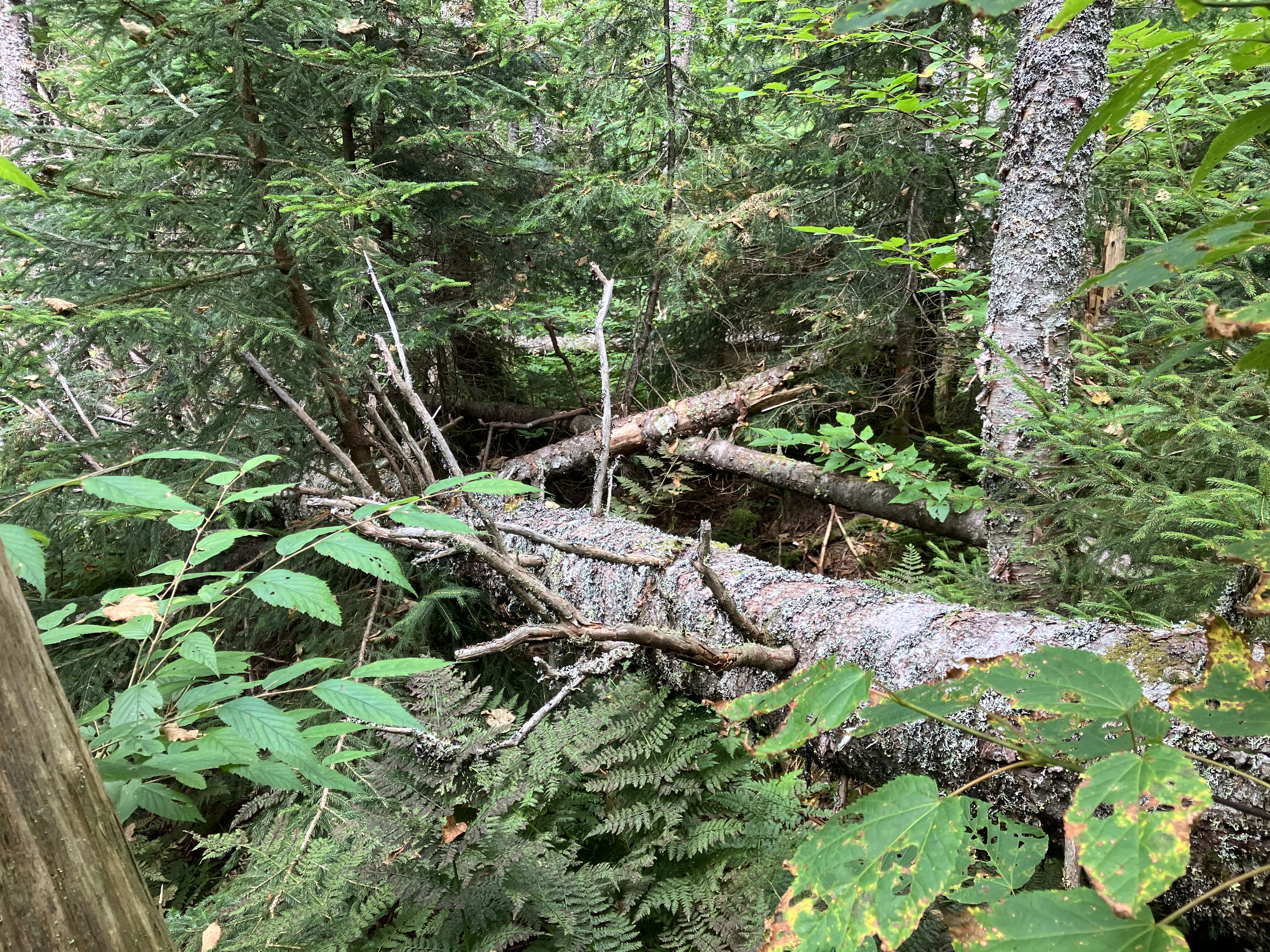
Farther along, I ran into a mess of blowdown. Ugh.
Up here I was surprised to find that the bed of Abenaki Brook was bone dry.

A northern tributary ran parallel to the main brook as I ascended a tongue of forest between them..

I had spotted this feature on the tributary when examining the 2-foot contour Lidar map on the NHGranit website. It was well worth the short side trip. It has a Devil's Hopyard look to it.

The outflow from this feature was unusually flat.

I encountered a few obstacles as I approached the lower end of the Abenaki Ravine slide.

The lower 0.15 mile of the slide - the section below the dogleg bend - follows the channel of Abenaki Brook (now in full flow again) through a nearly continuous series of ledgy cascades. This is the lowest cascade, at the point where the slide track opens up at the bottom.

From studying the Lidar map, I knew there would be several 10-foot+ cascades along this section, but hoped the ledges beside the water flow would be passable. It turned out that this long part of the slide was, for the most part, not safe to climb due to the consistently greasy, slick ledges. Most of this section I climbed parallel through the woods, popping out every so often to look at the cascades.

A mossy wall in the forest.

More cascades.

From a flat spot, a view out towards Bretton Woods, with the Mount Washington Hotel visible in the valley.

Cascade and pool.

Another cascade plunges through a rocky sluice.

Looking down the sluice.

More cascades above.

Looking up to the headwall of the ravine.

Side view of yet another drop.

Type 2 fun in the woods.

Another look at the hotel.

After a steep climb in some rough wooded terrain, I emerged on the upper part of the slide, which bends up away from the brook. Here revegetation is well underway with spruce, fir, birch and alder filling in the spaces.

Side view.

The slide is still open enough to offer good views out to the Dartmouth Range and the Cherry Mountain ridge, and likely more distant points on a less hazy day.

Mount Eisenhower looms close by to the NE.

Heading farther up the slide after a much-needed long break. The map accompanying The Presidential Range: Its Geologic and Tectonic History, by J. Dykstra Eusden, shows the bedrock here as gneiss, a metamorphic rock of the Rangeley Formation.

Top of the slide at 3600+ ft. In the morning I had entertained the idea of whacking up to the Crawford Path, but in the heat of the afternoon the thought of a 500-ft. climb through likely dense woods had zero appeal.

On the way down I went over to "the turn of the slide," where the upper slide turned the corner into the channel of Abenaki Brook. It must have been quite a sight - and sound - when that happened. My best guess is that this slide fell in the same October 1995 storm as the Dogleg Slide on Mount Osceola and the north slide on North Twin.

Looking up from "the turn of the slide."

Steep descent, careful foot placement needed.

Last look at the cascades.

Deep in the wilds of Abenaki Ravine.

Ferny glades were a welcome sight after the rougher woods above.

No comments:
Post a Comment