
HOT DAY ON THE HIGHWATER TRAIL: 8/11/16
On one of the hottest days of the summer, Carol and I did some geocaching with friends and then on our own, after which I spent a few hours checking out Irene relocations on the Highwater Trail while Carol lounged by the Wild River.
With our geocaching friends Pam and Sue, we found two tricky geocaches on the Presidential Rail Trail off Dolly Copp Road.

The Rail Trail was bursting with midsummer flowers. I believe these are Common Tansy, an escaped European garden flower, and a member of the aster family.

Black-eyed Susan and perhaps a red-orange variant.

This part of the Rail Trail has fine views. Lower Howker Ridge and Mount Madison rise beyond a beaver wetland.

Eastern view to Pine Mountain, Mount Moriah and North Carter.

While up on Randolph Hill checking out the start of the Bee Line, it was nice to see the RMC's Boothman Spring Cutoff officially signed and open again.

After a stop in Gorham we headed over Routes 2 and 113 to the WMNF Wild River Road and the north end of the Highwater Trail to find a couple more geocaches.

We crossed the major bridge over the Wild River at the north end of the Highwater Trail, which replaced a previous span swept away by Tropical Storm Irene.The ledges of The Roost can be seen at upper left.

We then drove five miles up the Wild River Road to the Shelburne Trail. This is the crossing of the Wild River near the start of the trail. Crocs came in handy and the water felt good! Carol has a balky knee so she read a book by the river while I hiked partway up and down the Highwater Trail to check out six short Irene relocations.

Cairns mark the way as the Shelburne Trail follows a confusing route through stony brookbeds.

I headed north for a mile on Highwater Trail and enjoyed this downstream vista from an open bank.

A long view upstream from the same spot.

Tropical Storm Irene wiped out a few sections of trail. Within the last couple of years the Androscoggin Ranger District trail crew made the half-dozen relocations around the washed-out areas.

Hobblebush leaves were drooping due to the current drought conditions.

Heading back to the south on Highwater Trail, some gymnastics were required to start the crossing of Bull Brook.

Bull Brook drains a big valley on the east side of Mount Moriah, but was almost bone dry today.
More fine riverside vistas.

A placid channel on the Wild River.

A view downstream to Howe Peak, an eastern spur of Shelburne Moriah Mountain.

Here Irene cut away the bank on the east side.

The huge flat ledge in the center of the photo is a popular sunning and swimming spot.

Lots of fine woods walking on the Highwater Trail.

I continued south to the Moriah Brook Trail junction to check out the bridge situation.

The WMNF closed the bridge last fall due to continuing erosion on the east bank, started by Irene. Options for this crossing are currently under consideration, info can be found on the WMNF website.

The supports on the east side of the bridge have been severely undermined.

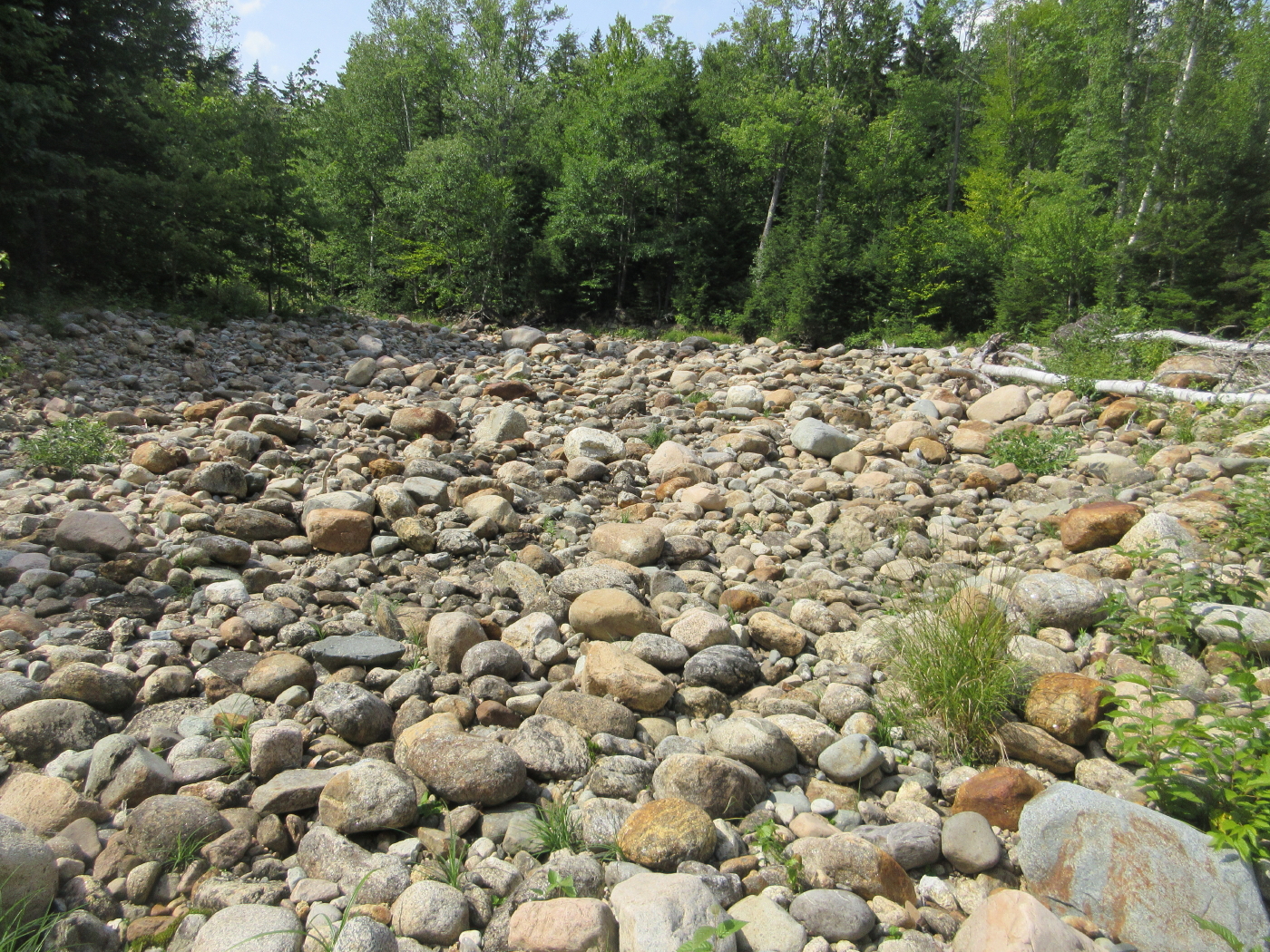
On the way back I took a short break at this huge rocky outwash.

A narrow stretch of trail along the riverbank - a future relocation farther away from the river will probably be needed here.

On the way back I made a short bushwhack to a beautiful beaver meadow just inside the Wild River Wilderness.

Lots of Steeplebush (aka Hardhack) was blooming here.

A forest pool shaded by tall maples.

A pretty scene beside the meadow.

Nice woods for whacking.

We took a drive out by the historic Philbrook Farm Inn on North Road in Shelburne, which has been welcoming guests since 1861. The inn has a long association with hiking and several trails to lower peaks in the southern Mahoosucs start on its grounds.

Shelburne Moriah Mountain from the front of the inn.

Wow, wonderful wildflowers! You definitely make geocaching look appealing!
ReplyDeleteKarl
One of your best posts, Steve
ReplyDelete